81 Moody Rd Andover, NH 03216
Estimated Value: $437,000 - $542,887
3
Beds
1
Bath
1,567
Sq Ft
$315/Sq Ft
Est. Value
About This Home
This home is located at 81 Moody Rd, Andover, NH 03216 and is currently estimated at $493,222, approximately $314 per square foot. 81 Moody Rd is a home with nearby schools including Andover Elementary Middle School, Merrimack Valley High School, and Proctor Academy.
Ownership History
Date
Name
Owned For
Owner Type
Purchase Details
Closed on
Aug 3, 2021
Sold by
Rita S Havens Ret
Bought by
Rand Adam S and Rand Jessica
Current Estimated Value
Home Financials for this Owner
Home Financials are based on the most recent Mortgage that was taken out on this home.
Original Mortgage
$320,000
Outstanding Balance
$291,110
Interest Rate
2.93%
Mortgage Type
Purchase Money Mortgage
Estimated Equity
$202,112
Purchase Details
Closed on
Feb 14, 2019
Sold by
Havens Rita S
Bought by
Rita S Havens Ret
Create a Home Valuation Report for This Property
The Home Valuation Report is an in-depth analysis detailing your home's value as well as a comparison with similar homes in the area
Home Values in the Area
Average Home Value in this Area
Purchase History
| Date | Buyer | Sale Price | Title Company |
|---|---|---|---|
| Rand Adam S | $400,000 | None Available | |
| Rita S Havens Ret | -- | -- |
Source: Public Records
Mortgage History
| Date | Status | Borrower | Loan Amount |
|---|---|---|---|
| Open | Rand Adam S | $320,000 |
Source: Public Records
Tax History Compared to Growth
Tax History
| Year | Tax Paid | Tax Assessment Tax Assessment Total Assessment is a certain percentage of the fair market value that is determined by local assessors to be the total taxable value of land and additions on the property. | Land | Improvement |
|---|---|---|---|---|
| 2024 | $5,055 | $345,300 | $106,500 | $238,800 |
| 2023 | $4,578 | $199,472 | $69,572 | $129,900 |
| 2022 | $4,284 | $202,188 | $71,388 | $130,800 |
| 2021 | $4,024 | $192,446 | $72,946 | $119,500 |
| 2020 | $4,116 | $192,893 | $73,393 | $119,500 |
| 2019 | $4,178 | $193,059 | $73,559 | $119,500 |
| 2018 | $4,044 | $176,294 | $67,894 | $108,400 |
| 2017 | $4,030 | $176,284 | $67,884 | $108,400 |
| 2016 | $3,738 | $175,844 | $68,544 | $107,300 |
| 2015 | $3,474 | $174,769 | $67,469 | $107,300 |
| 2014 | $3,564 | $174,858 | $67,558 | $107,300 |
| 2013 | $3,631 | $193,637 | $91,537 | $102,100 |
Source: Public Records
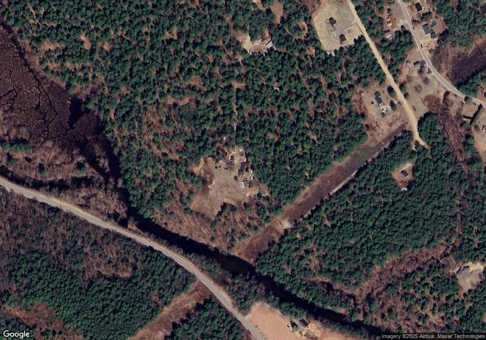
Map
Nearby Homes
- 97 Salisbury Hwy
- 2 Monticello Dr
- 32 Monticello Dr
- 0 Beech Hill Rd Unit 370 5046361
- 151 Beech Hill Rd
- 192 Beech Hill Rd
- 0 Putney Rd Unit 433
- 516 W Salisbury Rd
- Lot 02 Franklin Hwy
- 131 Flaghole Rd
- 19 Ives
- 32 Maple St
- 161 Tucker Mountain Rd
- 428 North Rd
- 428 N Rd
- 106 Lead Mine Rd
- 32 Clubhouse Rd
- 18 Cilleyville Rd
- 233 Hensmith Rd
- 54 Franklin Rd
- 38 Blueberry Ln
- 289 Salisbury Hwy
- 50 Blueberry Ln
- 20 Blueberry Ln
- 0 Blueberry Ln
- 41 Moody Rd
- 5 Blueberry Ln
- 174 Switch Rd
- 162 Switch Rd
- 00 Blueberry Ln
- 169 Switch Rd
- 26 Pinewood Ln
- 144 Switch Rd
- 302 Salisbury Hwy
- 157 Switch Rd
- 195 Switch Rd
- 16 Severance Rd
- 16 Moody Rd
- 307 Salisbury Hwy
- 116 Switch Rd