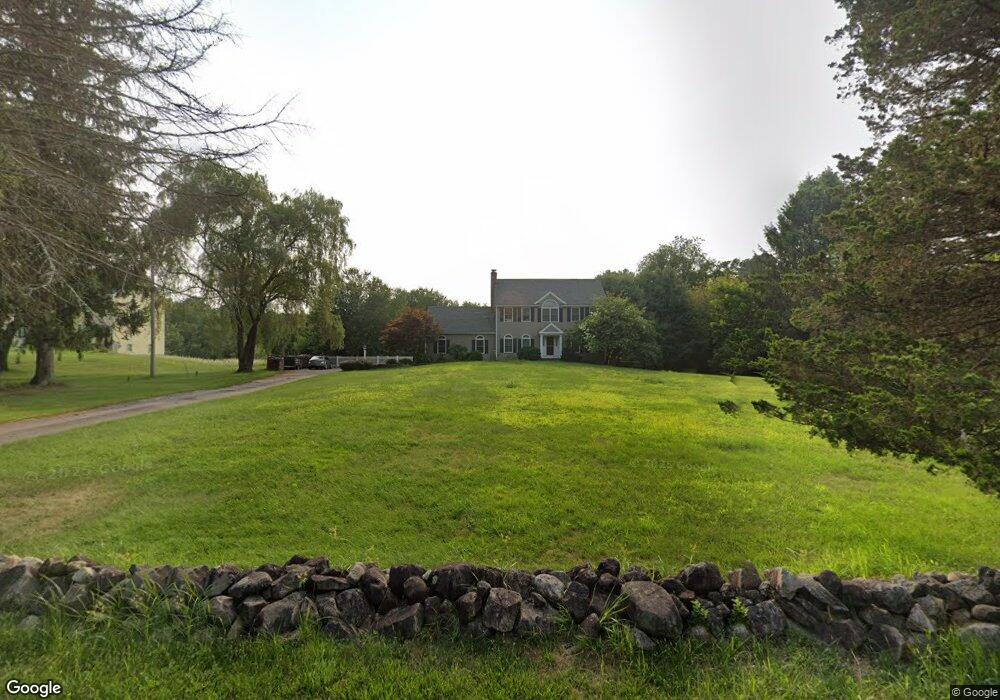
81 Myrtle St Norfolk, MA 02056
Estimated Value: $796,826 - $875,000
4
Beds
3
Baths
2,256
Sq Ft
$372/Sq Ft
Est. Value
About This Home
This home is located at 81 Myrtle St, Norfolk, MA 02056 and is currently estimated at $838,457, approximately $371 per square foot. 81 Myrtle St is a home located in Norfolk County with nearby schools including H. Olive Day School, Freeman-Kennedy School, and Woodside Montessori Academy.
Ownership History
Date
Name
Owned For
Owner Type
Purchase Details
Closed on
Nov 13, 2009
Sold by
Oneil William E and Oneil Sheila
Bought by
Newcom Jason and Newcom Sarah
Current Estimated Value
Home Financials for this Owner
Home Financials are based on the most recent Mortgage that was taken out on this home.
Original Mortgage
$386,400
Interest Rate
4.98%
Mortgage Type
Purchase Money Mortgage
Purchase Details
Closed on
Aug 23, 1996
Sold by
Brideko Homes Corp
Bought by
Clannad Rt
Create a Home Valuation Report for This Property
The Home Valuation Report is an in-depth analysis detailing your home's value as well as a comparison with similar homes in the area
Home Values in the Area
Average Home Value in this Area
Purchase History
| Date | Buyer | Sale Price | Title Company |
|---|---|---|---|
| Newcom Jason | $483,000 | -- | |
| Clannad Rt | $253,500 | -- |
Source: Public Records
Mortgage History
| Date | Status | Borrower | Loan Amount |
|---|---|---|---|
| Open | Clannad Rt | $383,000 | |
| Closed | Newcom Jason | $386,400 | |
| Previous Owner | Clannad Rt | $270,000 | |
| Previous Owner | Clannad Rt | $220,000 |
Source: Public Records
Tax History Compared to Growth
Tax History
| Year | Tax Paid | Tax Assessment Tax Assessment Total Assessment is a certain percentage of the fair market value that is determined by local assessors to be the total taxable value of land and additions on the property. | Land | Improvement |
|---|---|---|---|---|
| 2025 | $11,114 | $695,900 | $227,200 | $468,700 |
| 2024 | $10,488 | $673,600 | $227,200 | $446,400 |
| 2023 | $10,169 | $619,700 | $227,200 | $392,500 |
| 2022 | $9,601 | $527,500 | $213,100 | $314,400 |
| 2021 | $9,312 | $517,600 | $206,900 | $310,700 |
| 2020 | $9,318 | $499,900 | $187,900 | $312,000 |
| 2019 | $8,768 | $479,400 | $187,900 | $291,500 |
| 2018 | $8,429 | $452,700 | $187,900 | $264,800 |
| 2017 | $8,301 | $455,600 | $187,900 | $267,700 |
| 2016 | $8,143 | $450,400 | $188,400 | $262,000 |
| 2015 | $7,850 | $444,500 | $179,600 | $264,900 |
| 2014 | $7,692 | $441,300 | $179,600 | $261,700 |
Source: Public Records
Map
Nearby Homes
- 12 Ariana Ln
- 98 Myrtle St
- 41 Myrtle St
- 48 River Rd
- 99 Leland Rd
- 10 Silver Fox Rd
- 10 Populatic Street Extension
- 292 Main St
- 29 Wildwood Rd Unit 29
- 312 Eagles Nest Way Unit 312
- 1 Granite Dr
- 0 Toils End Rd
- 10 Medway St
- 33 Daniels St
- 18 Keeney Pond Rd
- 16 Keeney Pond Rd
- 70 Daniels St
- 7 Keeney Pond Rd
- 56 Fuller Place
- 145 Acorn St