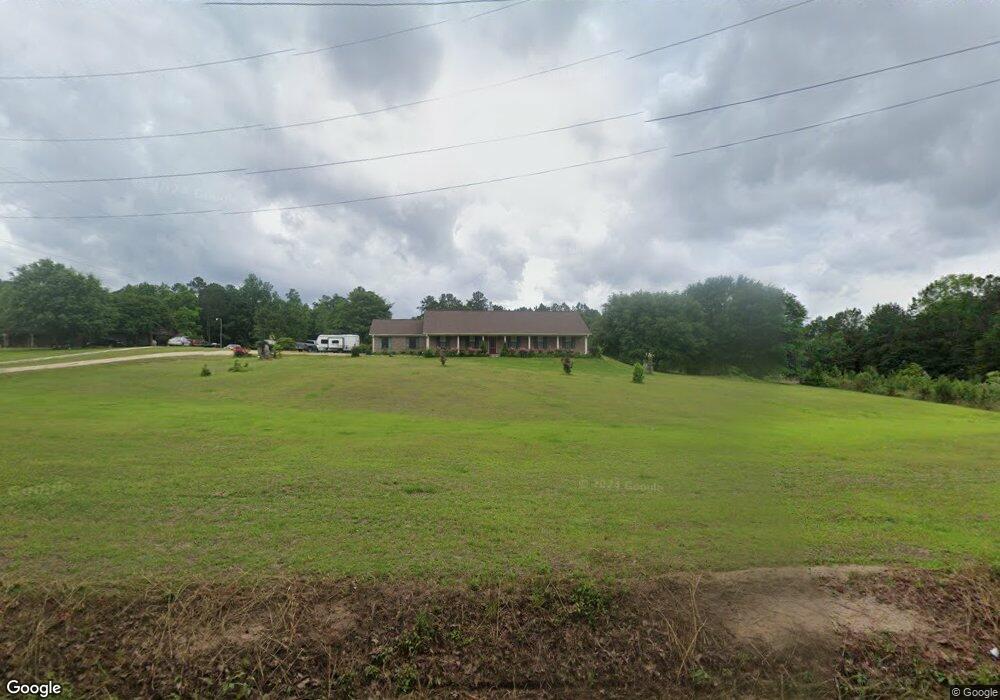
81 Norton Rd Laurel, MS 39443
Estimated Value: $175,000 - $374,000
3
Beds
2
Baths
2,079
Sq Ft
$137/Sq Ft
Est. Value
About This Home
This home is located at 81 Norton Rd, Laurel, MS 39443 and is currently estimated at $285,009, approximately $137 per square foot. 81 Norton Rd is a home located in Jones County with nearby schools including East Jones Elementary School.
Ownership History
Date
Name
Owned For
Owner Type
Purchase Details
Closed on
Sep 22, 2020
Sold by
Ezell Tanya Lanell and Bynum Lashonda Lynn
Bought by
Bynum Lashonda Lynn and Ezell Tanya Lanell
Current Estimated Value
Purchase Details
Closed on
Feb 28, 2019
Sold by
West Albert Lane and West Amanda
Bought by
Bynum Lashonda Lyn and Bynum Daniel Dewaine
Home Financials for this Owner
Home Financials are based on the most recent Mortgage that was taken out on this home.
Original Mortgage
$157,102
Interest Rate
4.4%
Mortgage Type
FHA
Create a Home Valuation Report for This Property
The Home Valuation Report is an in-depth analysis detailing your home's value as well as a comparison with similar homes in the area
Purchase History
| Date | Buyer | Sale Price | Title Company |
|---|---|---|---|
| Bynum Lashonda Lynn | -- | -- | |
| Bynum Lashonda Lyn | -- | -- |
Source: Public Records
Mortgage History
| Date | Status | Borrower | Loan Amount |
|---|---|---|---|
| Previous Owner | Bynum Lashonda Lyn | $157,102 |
Source: Public Records
Tax History
| Year | Tax Paid | Tax Assessment Tax Assessment Total Assessment is a certain percentage of the fair market value that is determined by local assessors to be the total taxable value of land and additions on the property. | Land | Improvement |
|---|---|---|---|---|
| 2025 | $1,290 | $18,212 | $0 | $0 |
| 2024 | $1,904 | $17,414 | $0 | $0 |
| 2023 | $1,904 | $17,417 | $0 | $0 |
| 2022 | $1,916 | $17,121 | $0 | $0 |
| 2021 | $1,869 | $16,693 | $0 | $0 |
| 2020 | $1,927 | $16,840 | $0 | $0 |
| 2019 | $1,230 | $16,765 | $0 | $0 |
| 2018 | $1,227 | $16,765 | $0 | $0 |
| 2017 | $1,227 | $16,758 | $0 | $0 |
| 2016 | $1,045 | $15,568 | $0 | $0 |
| 2015 | -- | $15,552 | $0 | $0 |
| 2014 | -- | $208 | $0 | $0 |
Source: Public Records
Map
Nearby Homes
- 20 Sunset Hills Rd
- 21 Sunset Hills Rd
- 43.16 Crooked Rd
- 00 N Forrest Road 205
- 7 G Morgan Rd
- 0 Strickland Rd
- 302 Freedom Rd
- 0 Walt Culpepper Rd
- 135 Gatlin Jordan Rd
- 68 Clara Strengthford Rd
- 3270 U S 84
- 27 Pace Martin Rd
- TBD George Boutwell Rd
- 0 George Boutwell Rd
- 215 Church Dr
- 582 Antioch Dr
- 664 Township Rd
- 310 Antioch Dr
- 160 Betty Sanderson Rd
- 23 Wren Sam Rd
Your Personal Tour Guide
Ask me questions while you tour the home.