81 Stetson Rd W Levant, ME 04456
Estimated Value: $442,000 - $667,000
8
Beds
4
Baths
4,112
Sq Ft
$140/Sq Ft
Est. Value
About This Home
This home is located at 81 Stetson Rd W, Levant, ME 04456 and is currently estimated at $573,839, approximately $139 per square foot. 81 Stetson Rd W is a home located in Penobscot County with nearby schools including Suzanne M. Smith Elementary School and Caravel Middle School.
Ownership History
Date
Name
Owned For
Owner Type
Purchase Details
Closed on
Apr 4, 2006
Sold by
Stlouis Dale T and Stlouis Theresa L
Bought by
Pinkham Christopher A
Current Estimated Value
Home Financials for this Owner
Home Financials are based on the most recent Mortgage that was taken out on this home.
Original Mortgage
$258,020
Outstanding Balance
$144,621
Interest Rate
6.32%
Mortgage Type
FHA
Estimated Equity
$429,218
Create a Home Valuation Report for This Property
The Home Valuation Report is an in-depth analysis detailing your home's value as well as a comparison with similar homes in the area
Home Values in the Area
Average Home Value in this Area
Purchase History
| Date | Buyer | Sale Price | Title Company |
|---|---|---|---|
| Pinkham Christopher A | -- | -- |
Source: Public Records
Mortgage History
| Date | Status | Borrower | Loan Amount |
|---|---|---|---|
| Open | Pinkham Christopher A | $258,020 |
Source: Public Records
Tax History
| Year | Tax Paid | Tax Assessment Tax Assessment Total Assessment is a certain percentage of the fair market value that is determined by local assessors to be the total taxable value of land and additions on the property. | Land | Improvement |
|---|---|---|---|---|
| 2025 | $6,110 | $509,200 | $45,200 | $464,000 |
| 2024 | $5,601 | $509,200 | $45,200 | $464,000 |
| 2023 | $5,481 | $466,500 | $45,200 | $421,300 |
| 2022 | $5,254 | $300,200 | $34,800 | $265,400 |
| 2021 | $5,254 | $300,200 | $34,800 | $265,400 |
| 2020 | $5,254 | $300,200 | $34,800 | $265,400 |
| 2019 | $4,503 | $300,200 | $34,800 | $265,400 |
| 2018 | $4,245 | $303,200 | $34,800 | $268,400 |
| 2017 | $3,764 | $278,800 | $34,800 | $244,000 |
| 2016 | $3,485 | $278,800 | $34,800 | $244,000 |
| 2015 | $3,485 | $278,800 | $34,800 | $244,000 |
| 2014 | $3,485 | $278,800 | $34,800 | $244,000 |
Source: Public Records
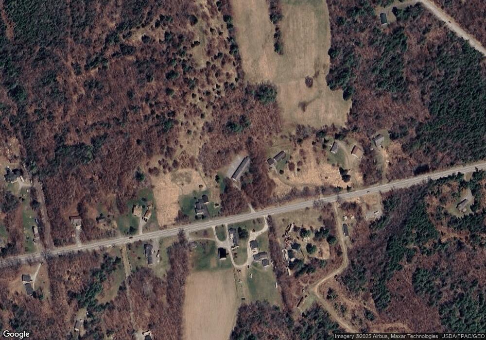
Map
Nearby Homes
- 5 Levant Heights Dr
- 40 Doughty Blvd
- 189 Stetson Rd E
- Lot 15-15 Brann Rd
- Lot 15-15 Stetson Rd E
- 4191 Union St
- 100 Dill Rd
- 35 French Rd
- 256 Merrill Rd
- 278 Merrill Rd
- 10 Blue Sky Dr
- 32 Blue Sky Dr
- 39 Blue Sky Dr
- 730 Village Rd
- 3935 Union St
- 3-3-A Avenue Rd
- 503 Stetson Rd
- 712 Avenue Rd
- 728 Black Rd
- 263 Mudgett Rd
- 80 Stetson Rd W
- 76 Stetson Rd W
- 86 Stetson Rd W
- 91 Stetson Rd W
- 63 Stetson Rd W
- 109 Stetson Rd W
- 104 Stetson Rd W
- 104 Stetson Rd W
- 55 Stetson Rd W
- 49 Stetson Rd W
- 123 Stetson Rd W
- 129 Stetson Rd W
- 56 Avenue Rd
- 34 John Deere Ln E
- 26 Stetson Rd W
- 127 Stetson Rd W
- 78 Avenue Rd
- 139 Stetson Rd W
- 1 Avenue Rd
Your Personal Tour Guide
Ask me questions while you tour the home.