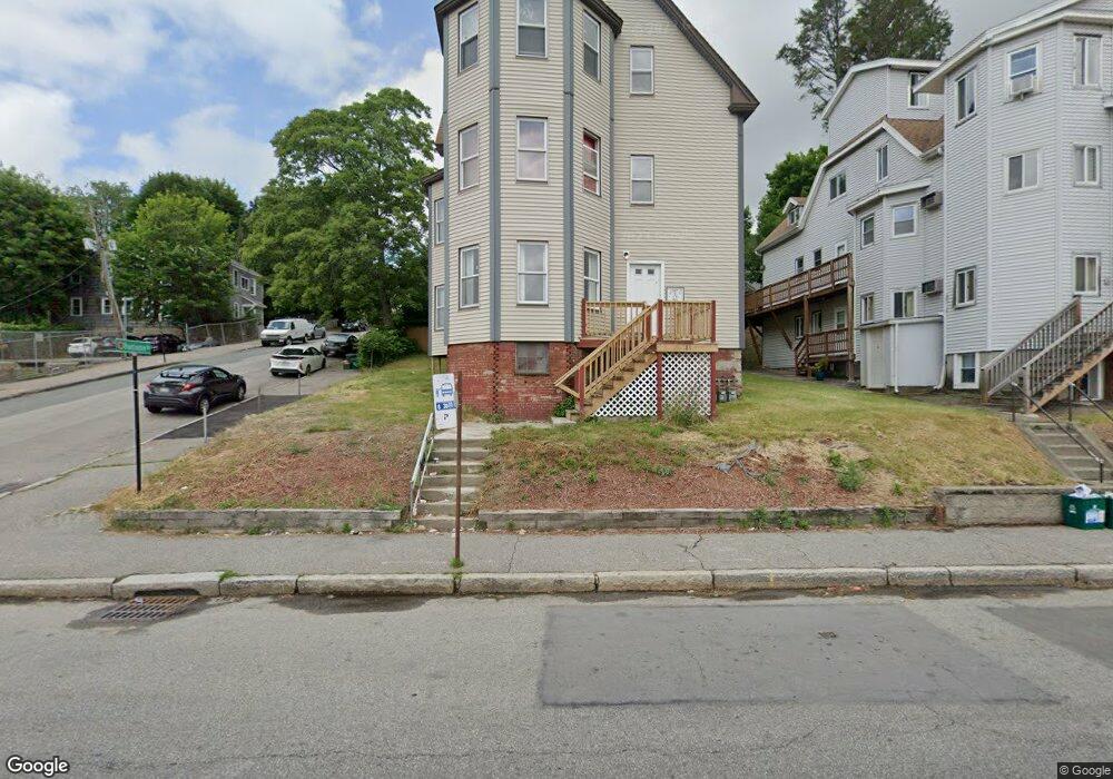
81 W Boylston St Worcester, MA 01606
Indian Lake East NeighborhoodEstimated Value: $619,000 - $785,000
6
Beds
3
Baths
3,916
Sq Ft
$183/Sq Ft
Est. Value
About This Home
This home is located at 81 W Boylston St, Worcester, MA 01606 and is currently estimated at $717,000, approximately $183 per square foot. 81 W Boylston St is a home located in Worcester County with nearby schools including Francis J. McGrath Elementary School, Jacob Hiatt Magnet School, and Chandler Magnet.
Ownership History
Date
Name
Owned For
Owner Type
Purchase Details
Closed on
Dec 17, 2014
Sold by
Sachs Denis E and Sachs Barbara M
Bought by
Denbarbs Realty Llc
Current Estimated Value
Create a Home Valuation Report for This Property
The Home Valuation Report is an in-depth analysis detailing your home's value as well as a comparison with similar homes in the area
Home Values in the Area
Average Home Value in this Area
Purchase History
| Date | Buyer | Sale Price | Title Company |
|---|---|---|---|
| Denbarbs Realty Llc | -- | -- |
Source: Public Records
Tax History Compared to Growth
Tax History
| Year | Tax Paid | Tax Assessment Tax Assessment Total Assessment is a certain percentage of the fair market value that is determined by local assessors to be the total taxable value of land and additions on the property. | Land | Improvement |
|---|---|---|---|---|
| 2025 | $9,332 | $707,500 | $98,900 | $608,600 |
| 2024 | $9,074 | $659,900 | $98,900 | $561,000 |
| 2023 | $8,400 | $585,800 | $86,000 | $499,800 |
| 2022 | $7,564 | $497,300 | $68,800 | $428,500 |
| 2021 | $6,318 | $388,100 | $55,100 | $333,000 |
| 2020 | $5,076 | $298,600 | $55,100 | $243,500 |
| 2019 | $5,274 | $293,000 | $49,500 | $243,500 |
| 2018 | $5,348 | $282,800 | $49,500 | $233,300 |
| 2017 | $5,059 | $263,200 | $49,500 | $213,700 |
| 2016 | $4,953 | $240,300 | $36,800 | $203,500 |
| 2015 | $4,823 | $240,300 | $36,800 | $203,500 |
| 2014 | $4,695 | $240,300 | $36,800 | $203,500 |
Source: Public Records
Map
Nearby Homes
- 89 W Boylston St Unit 4
- 6 Roald St
- 44 Boardman St
- 23 Dryden St
- 10 Dryden St Unit 7
- 577 Grove St
- 37 Kenwood Ave
- 63 North St Unit A
- 63 North St Unit B
- 0 Grove St
- 11 Holden St
- 15 Ericsson St
- 27 Harlow St
- 65 Paine St
- 40 Westwood Dr
- 3 Shoreham St
- 30 Melrose St
- 667 Grove St
- 8 Old Colony Rd
- 39 Whitmarsh Ave
- 83 W Boylston St Unit 6
- 83 W Boylston St Unit 5
- 83 W Boylston St Unit 4
- 83 W Boylston St Unit 3
- 83 W Boylston St Unit 2
- 83 W Boylston St Unit 1
- 83 W Boylston St
- 83 Westboylston Unit 3
- 75 E Mountain St
- 75 E Mountain St Unit A
- 87 W Boylston St
- 87 W Boylston St Unit 1
- 89 W Boylston St Unit 3
- 89 W Boylston St Unit 2
- 89 W Boylston St Unit 1
- 10 Huntington Ave
- 84 W Boylston St
- 1 Loring St
- 7 Huntington Ave
- 93 W Boylston St