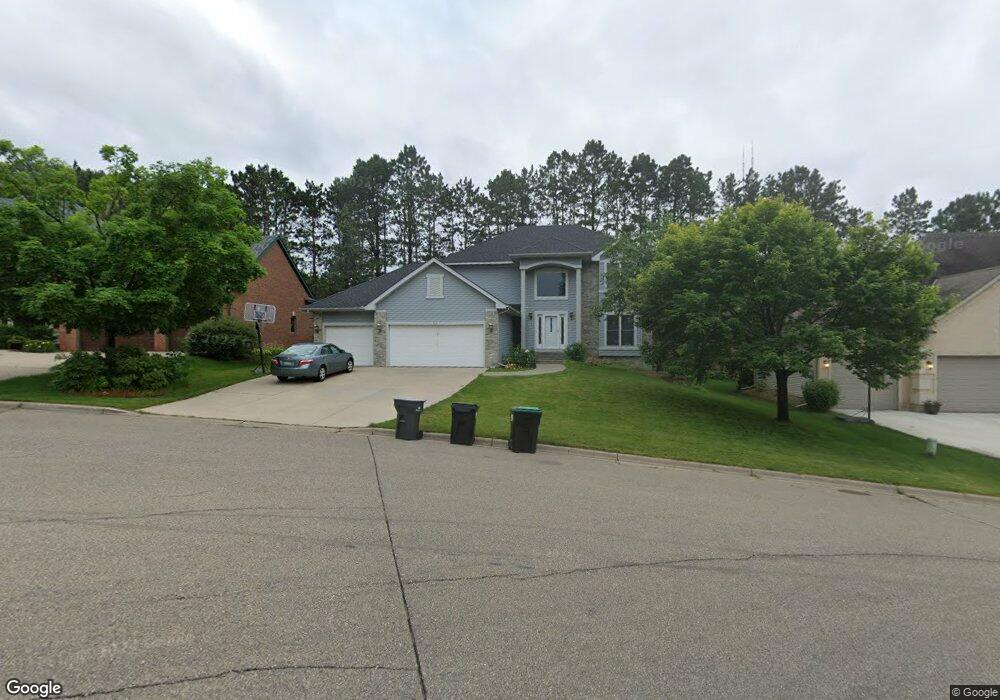
810 Amble Rd Saint Paul, MN 55126
Estimated Value: $677,000 - $733,000
4
Beds
4
Baths
2,278
Sq Ft
$310/Sq Ft
Est. Value
About This Home
This home is located at 810 Amble Rd, Saint Paul, MN 55126 and is currently estimated at $705,955, approximately $309 per square foot. 810 Amble Rd is a home located in Ramsey County with nearby schools including Island Lake Elementary School, Chippewa Middle School, and Mounds View Senior High School.
Ownership History
Date
Name
Owned For
Owner Type
Purchase Details
Closed on
Jun 3, 2016
Sold by
Danielzuk Steve M and Danielzuk Ruth R
Bought by
Ahmadov Anar and Mehriban Alihuseynova
Current Estimated Value
Home Financials for this Owner
Home Financials are based on the most recent Mortgage that was taken out on this home.
Original Mortgage
$380,000
Interest Rate
3.54%
Mortgage Type
New Conventional
Purchase Details
Closed on
Jun 1, 1998
Sold by
Shoreview Woods Llp
Bought by
R J Moser Builders Inc
Purchase Details
Closed on
Feb 10, 1998
Sold by
R J Moser Builders Inc
Bought by
Danielzuk Steve M and Danielzuk Ruth R
Create a Home Valuation Report for This Property
The Home Valuation Report is an in-depth analysis detailing your home's value as well as a comparison with similar homes in the area
Home Values in the Area
Average Home Value in this Area
Purchase History
| Date | Buyer | Sale Price | Title Company |
|---|---|---|---|
| Ahmadov Anar | $489,393 | Burnet Title | |
| R J Moser Builders Inc | $48,000 | -- | |
| Danielzuk Steve M | $293,062 | -- |
Source: Public Records
Mortgage History
| Date | Status | Borrower | Loan Amount |
|---|---|---|---|
| Previous Owner | Ahmadov Anar | $380,000 |
Source: Public Records
Tax History Compared to Growth
Tax History
| Year | Tax Paid | Tax Assessment Tax Assessment Total Assessment is a certain percentage of the fair market value that is determined by local assessors to be the total taxable value of land and additions on the property. | Land | Improvement |
|---|---|---|---|---|
| 2025 | $8,770 | $664,200 | $88,100 | $576,100 |
| 2023 | $8,770 | $645,400 | $88,100 | $557,300 |
| 2022 | $7,358 | $611,000 | $88,200 | $522,800 |
| 2021 | $7,124 | $511,700 | $88,200 | $423,500 |
| 2020 | $7,368 | $506,700 | $88,200 | $418,500 |
| 2019 | $6,404 | $488,200 | $88,200 | $400,000 |
| 2018 | $6,568 | $449,800 | $80,100 | $369,700 |
| 2017 | $6,330 | $445,800 | $80,100 | $365,700 |
| 2016 | $6,568 | $0 | $0 | $0 |
| 2015 | $6,546 | $422,800 | $80,100 | $342,700 |
| 2014 | $6,516 | $0 | $0 | $0 |
Source: Public Records
Map
Nearby Homes
- 4250 Victoria St N
- 4297 Nancy Place
- 4444 Victoria St N
- 4268 Reiland Ln
- 4237 Sylvia Ln N
- 4454 Victoria St N
- 708 Brigadoon Cir
- 4120 Victoria St N
- 4217 Bristol Run
- 4186 Oxford Ct N
- 742 County Road F W Unit D
- 742 County Road F W Unit 1002
- 1091 Westcliff Curve
- 640 Highway 96 W
- 550 Harbor Ct
- 592 Harbor Ct
- 599 Harbor Ct
- 4525 Churchill St
- 495 Harbor Ct
- 4706 Lorinda Dr