810 N Forklanding Rd, Unit 313 Maple Shade, NJ 08052
Estimated Value: $149,000 - $174,000
1
Bed
1
Bath
782
Sq Ft
$201/Sq Ft
Est. Value
About This Home
This home is located at 810 N Forklanding Rd Unit 313, Maple Shade, NJ 08052 and is currently estimated at $157,522, approximately $201 per square foot. 810 N Forklanding Rd Unit 313 is a home located in Burlington County with nearby schools including Ralph J Steinhauer Elementary School, Maude M. Wilkins Elementary School, and Howard R Yocum School.
Ownership History
Date
Name
Owned For
Owner Type
Purchase Details
Closed on
Mar 12, 2021
Sold by
Klischies Charles J and Kliscibes Jill A
Bought by
Mann Real Estate Llc
Current Estimated Value
Purchase Details
Closed on
Feb 12, 2010
Sold by
Depetris Robert A and Depetris Kathleen A
Bought by
Klischies Charles J and Klischies Jill A
Create a Home Valuation Report for This Property
The Home Valuation Report is an in-depth analysis detailing your home's value as well as a comparison with similar homes in the area
Home Values in the Area
Average Home Value in this Area
Purchase History
| Date | Buyer | Sale Price | Title Company |
|---|---|---|---|
| Mann Real Estate Llc | $155,000 | None Listed On Document | |
| Mann Real Estate Llc | $155,000 | None Listed On Document | |
| Klischies Charles J | $66,000 | First American Title Ins Co |
Source: Public Records
Tax History
| Year | Tax Paid | Tax Assessment Tax Assessment Total Assessment is a certain percentage of the fair market value that is determined by local assessors to be the total taxable value of land and additions on the property. | Land | Improvement |
|---|---|---|---|---|
| 2025 | $2,209 | $58,200 | $10,000 | $48,200 |
| 2024 | $2,145 | $58,200 | $10,000 | $48,200 |
| 2023 | $2,145 | $58,200 | $10,000 | $48,200 |
| 2022 | $2,112 | $58,200 | $10,000 | $48,200 |
| 2021 | $2,091 | $58,200 | $10,000 | $48,200 |
| 2020 | $2,098 | $58,200 | $10,000 | $48,200 |
| 2019 | $2,021 | $58,200 | $10,000 | $48,200 |
| 2018 | $1,986 | $58,200 | $10,000 | $48,200 |
| 2017 | $1,963 | $58,200 | $10,000 | $48,200 |
| 2016 | $1,933 | $58,200 | $10,000 | $48,200 |
| 2015 | $1,892 | $58,200 | $10,000 | $48,200 |
| 2014 | $1,834 | $58,200 | $10,000 | $48,200 |
Source: Public Records
About This Building
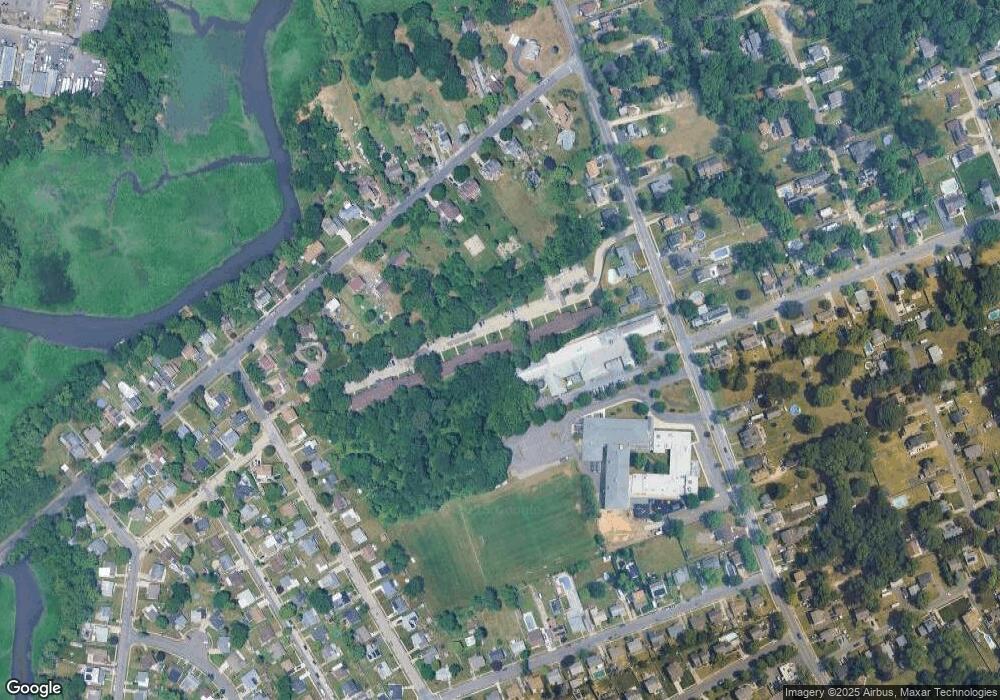
Map
Nearby Homes
- 27 Indian Queen Ln
- 48 5th Ave
- 331 Collins Ln
- 2819 Haddonfield Rd
- 3120 Route 73 N
- 400 N Forklanding Rd
- 8661 Wyndam Rd
- 8315 Stockton Ave
- 8201 Weymouth Dr
- 5 Exeter Place
- 18 Hamilton Ct
- 8539 Bryn Mawr Ave
- 712 E Woodlawn Ave
- 207 E Park Ave
- 5 Vincent Way
- 27 Domenica Dr
- 411 C12 Stiles Ave Unit C-12
- 411 A2 Stiles Ave Unit A-2
- 411 N Stiles Ave Unit B9
- 8323 Maple Ave
- 810 N Forklanding Rd Unit 320
- 810 N Forklanding Rd Unit 319
- 810 N Forklanding Rd Unit 318
- 810 N Forklanding Rd Unit 317
- 810 N Forklanding Rd Unit 316
- 810 N Forklanding Rd Unit 315
- 810 N Forklanding Rd Unit 314
- 810 N Forklanding Rd Unit 312
- 810 N Forklanding Rd Unit 311
- 810 N Forklanding Rd Unit 310
- 810 N Forklanding Rd Unit 309
- 810 N Forklanding Rd Unit 308
- 810 N Forklanding Rd Unit 307
- 810 N Forklanding Rd Unit 306
- 810 N Forklanding Rd Unit 305
- 810 N Forklanding Rd Unit 304
- 810 N Forklanding Rd Unit 303
- 810 N Forklanding Rd Unit 302
- 810 N Forklanding Rd Unit 301
- 810 N Forklanding Rd Unit 220
Your Personal Tour Guide
Ask me questions while you tour the home.