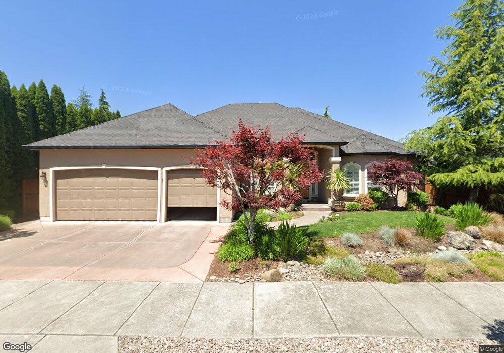
810 St Andrews Way Eagle Point, OR 97524
Estimated Value: $655,000 - $724,000
About This Home
This home is located at 810 St Andrews Way, Eagle Point, OR 97524 and is currently estimated at $686,867, approximately $224 per square foot. 810 St Andrews Way is a home located in Jackson County with nearby schools including Eagle Point Middle School, White Mountain Middle School, and Eagle Point High School.
Ownership History
We collect this data history from publicly available records. To have your information removed, we recommend requesting removal directly through your county’s website.
Purchase Details
Home Financials for this Owner
Home Financials are based on the most recent Mortgage that was taken out on this home.Home Values in the Area
Average Home Value in this Area
Purchase History
We collect this data history from publicly available records. To have your information removed, we recommend requesting removal directly through your county’s website.
| Date | Buyer | Sale Price | Title Company |
|---|---|---|---|
| $78,900 | Lawyers Title Insurance Corp |
Mortgage History
We collect this data history from publicly available records. To have your information removed, we recommend requesting removal directly through your county’s website.
| Date | Status | Borrower | Loan Amount |
|---|---|---|---|
| Open | $262,900 |
Tax History
We collect this data history from publicly available records. To have your information removed, we recommend requesting removal directly through your county’s website.
| Year | Tax Paid | Tax Assessment Tax Assessment Total Assessment is a certain percentage of the fair market value that is determined by local assessors to be the total taxable value of land and additions on the property. | Land | Improvement |
|---|---|---|---|---|
| 2026 | $6,329 | $448,370 | $128,000 | $320,370 |
| 2025 | $6,179 | $451,600 | $72,190 | $379,410 |
| 2024 | $6,179 | $438,450 | $70,080 | $368,370 |
| 2023 | $5,970 | $425,680 | $68,040 | $357,640 |
| 2022 | $5,807 | $425,680 | $68,040 | $357,640 |
| 2021 | $5,635 | $413,290 | $66,060 | $347,230 |
| 2020 | $5,986 | $401,260 | $64,140 | $337,120 |
| 2019 | $5,895 | $378,240 | $60,460 | $317,780 |
| 2018 | $5,783 | $367,230 | $58,700 | $308,530 |
| 2017 | $5,641 | $367,230 | $58,700 | $308,530 |
| 2016 | $5,531 | $346,160 | $55,330 | $290,830 |
| 2015 | $5,350 | $346,160 | $55,330 | $290,830 |
| 2014 | $5,197 | $326,300 | $52,160 | $274,140 |
Map
- 888 Arrowhead Trail
- 964 Pumpkin Ridge
- 936 Arrowhead Trail
- 983 Pumpkin Ridge Dr
- 162 Bellerive Dr
- 995 Pumpkin Ridge
- 210 Bellerive Dr
- 206 Eagle View Dr
- 1054 Pumpkin Ridge
- 32 Pebble Creek Dr
- 1043 Arrowhead Trail
- 613 St Thomas Ln
- 131 Spanish Bay Ct
- 421 Stevens Rd Unit 20
- 421 Stevens Rd Unit 14
- 421 Stevens Rd Unit 26
- 421 Stevens Rd Unit 34
- 421 Stevens Rd Unit 52
- 407 S Shasta Ave
- 17 Blue Heron Ct
- 118 Bellerive Dr
- 816 St Andrews Way Unit L142
- 816 St Andrews Way
- 112 Bellerive Dr
- 820 St Andrews Way
- 821 St Andrews Way
- 815 St Andrews Way
- 894 Arrowhead Trail
- 824 St Andrews Way
- 827 Saint Andrews Way
- 827 St Andrews Way
- 124 Bellerive Dr
- 882 Arrowhead Trail
- 119 Bellerive Dr
- 828 St Andrews Way
- 828 St Andrews Lot 139 Way
- 113 Bellerive Lot #146 Dr
- 41 Aspen Ct
- 113 Bellerive Dr
- 107 Bellerive Dr
Ask me questions while you tour the home.