Estimated Value: $245,000 - $1,926,429
Studio
2
Baths
1,624
Sq Ft
$726/Sq Ft
Est. Value
About This Home
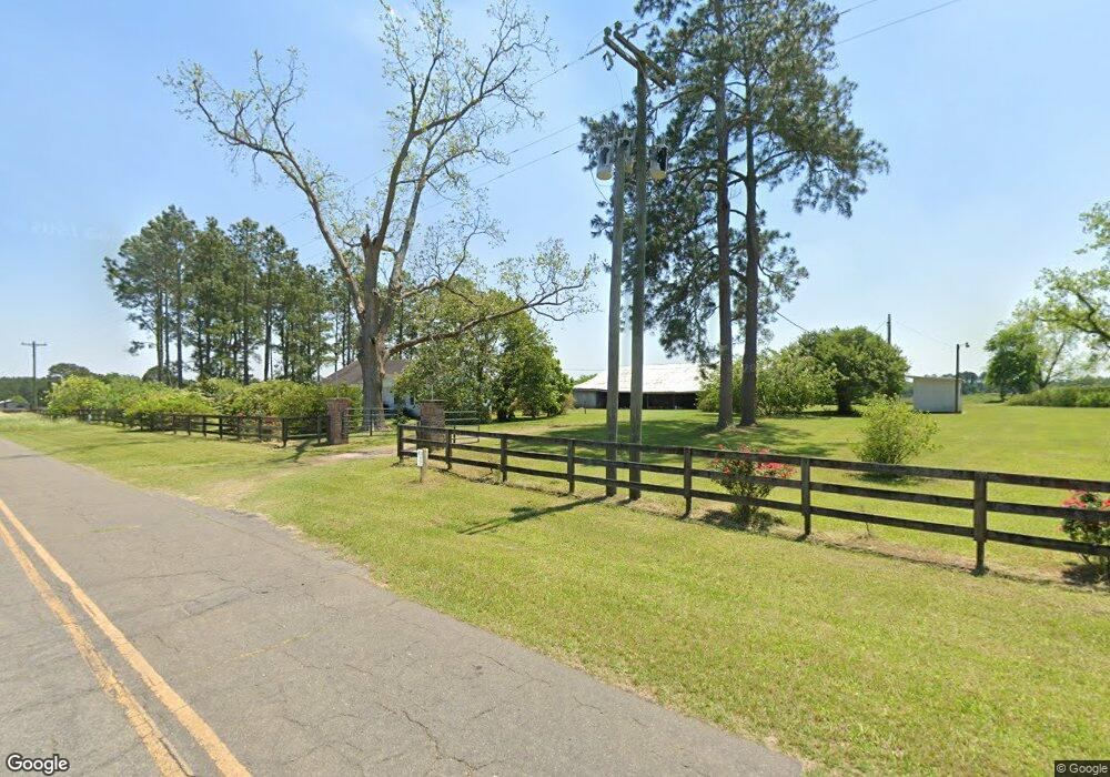
This home is located at 812 Dixie Rd, Dixie, GA 31629 and is currently estimated at $1,179,476, approximately $726 per square foot. 812 Dixie Rd is a home located in Brooks County with nearby schools including Quitman Elementary School and Westbrook School.
Ownership History
Date
Name
Owned For
Owner Type
Purchase Details
Closed on
Aug 8, 2024
Sold by
Watkins Howell Lee
Bought by
Watkins Valerie M
Current Estimated Value
Purchase Details
Closed on
Nov 24, 2021
Sold by
Watkins Howell L
Bought by
Simpson Josh Daniel and Simpson Brandon Keith
Home Financials for this Owner
Home Financials are based on the most recent Mortgage that was taken out on this home.
Original Mortgage
$287,712
Interest Rate
3.14%
Mortgage Type
New Conventional
Purchase Details
Closed on
Feb 20, 2015
Sold by
Watkins Howell L
Bought by
Conservation Use Covenant Recording
Purchase Details
Closed on
Aug 15, 2006
Sold by
Williams Carl G
Bought by
Watkins Howell L
Purchase Details
Closed on
Feb 18, 2005
Sold by
Williams Michael G
Bought by
Watkins Howell L
Purchase Details
Closed on
Jun 12, 1992
Sold by
Williams W E
Bought by
Williams Carl G
Create a Home Valuation Report for This Property
The Home Valuation Report is an in-depth analysis detailing your home's value as well as a comparison with similar homes in the area
Purchase History
| Date | Buyer | Sale Price | Title Company |
|---|---|---|---|
| Watkins Valerie M | -- | -- | |
| Simpson Josh Daniel | $287,712 | -- | |
| Conservation Use Covenant Recording | -- | -- | |
| Watkins Howell L | -- | -- | |
| Watkins Howell L | $675,000 | -- | |
| Williams Carl G | -- | -- |
Source: Public Records
Mortgage History
| Date | Status | Borrower | Loan Amount |
|---|---|---|---|
| Previous Owner | Simpson Josh Daniel | $287,712 |
Source: Public Records
Tax History
| Year | Tax Paid | Tax Assessment Tax Assessment Total Assessment is a certain percentage of the fair market value that is determined by local assessors to be the total taxable value of land and additions on the property. | Land | Improvement |
|---|---|---|---|---|
| 2025 | $3,319 | $430,480 | $396,560 | $33,920 |
| 2024 | $4,129 | $456,648 | $396,560 | $60,088 |
| 2023 | $4,269 | $403,448 | $347,480 | $55,968 |
| 2022 | $3,786 | $376,368 | $330,920 | $45,448 |
| 2021 | $4,161 | $402,088 | $361,520 | $40,568 |
| 2020 | $11,155 | $401,648 | $361,520 | $40,128 |
| 2019 | $3,912 | $357,168 | $318,280 | $38,888 |
| 2018 | $9,944 | $340,488 | $300,960 | $39,528 |
| 2017 | $3,754 | $338,728 | $300,960 | $37,768 |
| 2016 | $3,752 | $338,928 | $300,960 | $37,968 |
| 2015 | -- | $338,648 | $300,960 | $37,688 |
| 2014 | -- | $338,208 | $299,920 | $38,288 |
| 2013 | -- | $338,208 | $299,920 | $38,288 |
Source: Public Records
Map
Nearby Homes
- 2156 County Road 78
- 536 N Leaphart St
- 611 Bn S Main St
- 612-BN W Railroad Ave
- 5199 U S 84
- 2773 Georgia 33
- 9900 Ozell Rd
- 431 Dry Lake Rd
- 146 Old Highway 84 W
- Dixie Rd
- 2661 Dewberry Rd
- 2815 Parker Rd
- 75 Southern Breeze Ln
- 0000 0000 Ozell Road (15+ - Acres)
- 2195 Coffee Rd
- 7402 Coffee Rd
- 0 Ozell Rd Unit 26629849
- 800 Clifford St
- 1038-BA Church St
- 103 Magnolia Dr
Your Personal Tour Guide
Ask me questions while you tour the home.