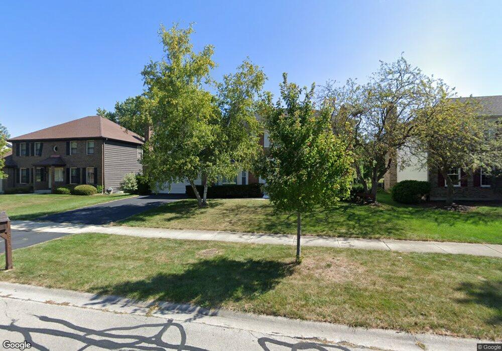
812 S River Rd Naperville, IL 60540
Watts NeighborhoodEstimated Value: $499,000 - $690,000
4
Beds
3
Baths
2,474
Sq Ft
$254/Sq Ft
Est. Value
About This Home
This home is located at 812 S River Rd, Naperville, IL 60540 and is currently estimated at $628,798, approximately $254 per square foot. 812 S River Rd is a home located in DuPage County with nearby schools including May Watts Elementary School, Thayer J. Hill Middle School, and Metea Valley High School.
Ownership History
Date
Name
Owned For
Owner Type
Purchase Details
Closed on
Feb 24, 1999
Sold by
Klis Michael W
Bought by
Klis Michael W and Elmer Belinda I
Current Estimated Value
Purchase Details
Closed on
May 1, 1998
Sold by
Liberty Federal Bank
Bought by
Klis Michael W
Home Financials for this Owner
Home Financials are based on the most recent Mortgage that was taken out on this home.
Original Mortgage
$90,000
Outstanding Balance
$17,846
Interest Rate
7.27%
Estimated Equity
$610,952
Create a Home Valuation Report for This Property
The Home Valuation Report is an in-depth analysis detailing your home's value as well as a comparison with similar homes in the area
Home Values in the Area
Average Home Value in this Area
Purchase History
| Date | Buyer | Sale Price | Title Company |
|---|---|---|---|
| Klis Michael W | -- | -- | |
| Klis Michael W | $120,000 | Ticor Title Insurance Compan |
Source: Public Records
Mortgage History
| Date | Status | Borrower | Loan Amount |
|---|---|---|---|
| Open | Klis Michael W | $90,000 |
Source: Public Records
Tax History
| Year | Tax Paid | Tax Assessment Tax Assessment Total Assessment is a certain percentage of the fair market value that is determined by local assessors to be the total taxable value of land and additions on the property. | Land | Improvement |
|---|---|---|---|---|
| 2024 | $11,301 | $197,050 | $56,546 | $140,504 |
| 2023 | $10,769 | $177,060 | $50,810 | $126,250 |
| 2022 | $10,738 | $168,120 | $47,870 | $120,250 |
| 2021 | $10,388 | $162,120 | $46,160 | $115,960 |
| 2020 | $10,373 | $162,120 | $46,160 | $115,960 |
| 2019 | $9,949 | $154,190 | $43,900 | $110,290 |
| 2018 | $9,599 | $146,600 | $41,490 | $105,110 |
| 2017 | $9,322 | $141,630 | $40,080 | $101,550 |
| 2016 | $9,138 | $135,920 | $38,460 | $97,460 |
| 2015 | $9,416 | $129,060 | $36,520 | $92,540 |
| 2014 | $9,231 | $122,450 | $34,390 | $88,060 |
| 2013 | $9,210 | $123,300 | $34,630 | $88,670 |
Source: Public Records
Map
Nearby Homes
- 816 S River Rd
- 1161 Banyon Ct
- 854 Raintree Dr
- 731 S River Rd
- 1246 Ardmore Dr
- 7S410 Arbor Dr
- 1210 Lawnmeadow Ln
- 615 Windridge Ct
- 1524 Oswego Rd
- 840 Mobile Ct
- 611 Clover Ct
- 1095 Devonshire Ave
- 7S146 Wild Cherry Rd
- 28W075 Aurora Ave
- 1028 Whitewater Ln
- 808 Shiloh Cir
- 332 S River Rd
- 401 S Whispering Hills Dr
- 417 River Bluff Cir
- 1033 Emerald Dr
- 808 S River Rd
- 820 S River Rd
- 804 S River Rd
- 824 S River Rd
- 803 S River Rd
- 819 S River Rd
- 1208 Sequoia Rd
- 807 S River Rd
- 815 S River Rd
- 801 S River Rd
- 821 S River Rd
- 828 S River Rd
- 811 S River Rd
- 825 Buttonwood Cir
- 821 Buttonwood Cir
- 1300 Sequoia Rd Unit 4
- 829 Buttonwood Cir
- 825 S River Rd
- 832 S River Rd Unit 4
- 833 Buttonwood Cir
Your Personal Tour Guide
Ask me questions while you tour the home.