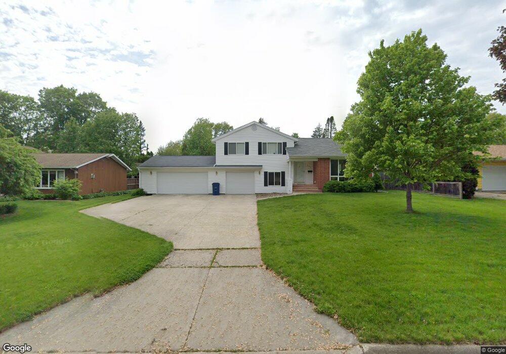
812 Sheridan Rd Waterloo, IA 50701
Estimated Value: $294,231 - $341,000
4
Beds
3
Baths
2,161
Sq Ft
$148/Sq Ft
Est. Value
About This Home
This home is located at 812 Sheridan Rd, Waterloo, IA 50701 and is currently estimated at $320,808, approximately $148 per square foot. 812 Sheridan Rd is a home located in Black Hawk County with nearby schools including Lou Henry Elementary School, Hoover Middle School, and West High School.
Ownership History
Date
Name
Owned For
Owner Type
Purchase Details
Closed on
Apr 21, 2015
Sold by
Lds Properties Llc
Bought by
Breid Daren M and Breid Paula A
Current Estimated Value
Purchase Details
Closed on
Dec 28, 2012
Sold by
Pheasant Hollow Inc
Bought by
Snodgrass Dalt D and Snodgrass Lisa J
Home Financials for this Owner
Home Financials are based on the most recent Mortgage that was taken out on this home.
Original Mortgage
$44,500
Interest Rate
3.34%
Mortgage Type
Purchase Money Mortgage
Purchase Details
Closed on
Jun 10, 2005
Sold by
Holmes Geanette W and Holmes John W
Bought by
Snodgrass Dalt D
Home Financials for this Owner
Home Financials are based on the most recent Mortgage that was taken out on this home.
Original Mortgage
$27,500
Interest Rate
5.75%
Mortgage Type
Stand Alone Second
Create a Home Valuation Report for This Property
The Home Valuation Report is an in-depth analysis detailing your home's value as well as a comparison with similar homes in the area
Home Values in the Area
Average Home Value in this Area
Purchase History
| Date | Buyer | Sale Price | Title Company |
|---|---|---|---|
| Breid Daren M | $205,000 | None Available | |
| Snodgrass Dalt D | $46,000 | None Available | |
| Snodgrass Dalt D | $137,500 | Title Services Corporation |
Source: Public Records
Mortgage History
| Date | Status | Borrower | Loan Amount |
|---|---|---|---|
| Previous Owner | Snodgrass Dalt D | $44,500 | |
| Previous Owner | Snodgrass Dalt D | $27,500 |
Source: Public Records
Tax History Compared to Growth
Tax History
| Year | Tax Paid | Tax Assessment Tax Assessment Total Assessment is a certain percentage of the fair market value that is determined by local assessors to be the total taxable value of land and additions on the property. | Land | Improvement |
|---|---|---|---|---|
| 2025 | $5,210 | $288,690 | $36,720 | $251,970 |
| 2024 | $5,210 | $250,380 | $36,720 | $213,660 |
| 2023 | $4,444 | $250,380 | $36,720 | $213,660 |
| 2022 | $4,324 | $211,230 | $36,720 | $174,510 |
| 2021 | $4,148 | $211,230 | $36,720 | $174,510 |
| 2020 | $4,076 | $191,760 | $29,840 | $161,920 |
| 2019 | $4,076 | $191,760 | $29,840 | $161,920 |
| 2018 | $4,080 | $191,760 | $29,840 | $161,920 |
| 2017 | $4,208 | $191,760 | $29,840 | $161,920 |
| 2016 | $4,152 | $191,760 | $29,840 | $161,920 |
| 2015 | $4,152 | $191,760 | $29,840 | $161,920 |
| 2014 | $4,024 | $182,760 | $29,840 | $152,920 |
Source: Public Records
Map
Nearby Homes
- 1346 S Hill Dr
- 1103 Ridgemont Rd
- 1131 Ridgemont Rd
- 1114 Prairie Meadow Ct Unit 12
- 914 Prairie Meadow Ct
- 830 Prairie Meadow Ct
- Lot 1 San Marnan Dr
- Lot 5 San Marnan Dr
- Lot 6 San Marnan Dr
- Lot 4 San Marnan Dr
- Lot 3 San Marnan Dr
- 1020 Nancy Rd
- Lot 2 Hurst Dr
- Lot 1 Hurst Dr
- Lot 10 San Marnan Dr
- Lot 11 San Marnan Dr
- 2.30 acres San Marnan Dr
- 830 Colby Rd
- 918 Colby Rd
- 1306 Olympic Dr
- 810 Sheridan Rd
- 814 Sheridan Rd
- 857 Sunrise Blvd
- 847 Sunrise Blvd
- 808 Sheridan Rd
- 867 Sunrise Blvd
- 811 Sheridan Rd
- 902 Sheridan Rd
- 809 Sheridan Rd
- 837 Sunrise Blvd
- 813 Sheridan Rd
- 907 Sunrise Blvd
- 807 Sheridan Rd
- 806 Sheridan Rd
- 901 Sheridan Rd
- 908 Sheridan Rd
- 827 Sunrise Blvd
- 915 Sunrise Blvd
- 805 Sheridan Rd
- 856 Sunrise Blvd