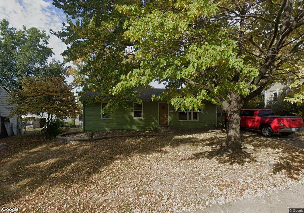
812 Thornton St Liberty, MO 64068
Estimated Value: $210,000 - $240,000
3
Beds
3
Baths
1,092
Sq Ft
$205/Sq Ft
Est. Value
About This Home
This home is located at 812 Thornton St, Liberty, MO 64068 and is currently estimated at $223,907, approximately $205 per square foot. 812 Thornton St is a home located in Clay County with nearby schools including Ridgeview Elementary School, Heritage Middle School, and Liberty North High School.
Ownership History
Date
Name
Owned For
Owner Type
Purchase Details
Closed on
Aug 20, 2013
Sold by
Callahan Cole A
Bought by
Baker Bret J
Current Estimated Value
Home Financials for this Owner
Home Financials are based on the most recent Mortgage that was taken out on this home.
Original Mortgage
$112,917
Outstanding Balance
$83,905
Interest Rate
4.37%
Mortgage Type
FHA
Estimated Equity
$140,002
Purchase Details
Closed on
Nov 15, 2006
Sold by
U S Bank Na
Bought by
Callahan Cole A
Home Financials for this Owner
Home Financials are based on the most recent Mortgage that was taken out on this home.
Original Mortgage
$90,846
Interest Rate
6.37%
Mortgage Type
Purchase Money Mortgage
Purchase Details
Closed on
Jul 19, 2006
Sold by
Eddy Marsha A
Bought by
Us Bank Na and Ace Securities Corp Home Equity Loan Tru
Create a Home Valuation Report for This Property
The Home Valuation Report is an in-depth analysis detailing your home's value as well as a comparison with similar homes in the area
Home Values in the Area
Average Home Value in this Area
Purchase History
| Date | Buyer | Sale Price | Title Company |
|---|---|---|---|
| Baker Bret J | -- | None Available | |
| Callahan Cole A | -- | Mokan Title Services Llc | |
| Us Bank Na | $123,494 | None Available |
Source: Public Records
Mortgage History
| Date | Status | Borrower | Loan Amount |
|---|---|---|---|
| Open | Baker Bret J | $112,917 | |
| Previous Owner | Callahan Cole A | $90,846 |
Source: Public Records
Tax History
| Year | Tax Paid | Tax Assessment Tax Assessment Total Assessment is a certain percentage of the fair market value that is determined by local assessors to be the total taxable value of land and additions on the property. | Land | Improvement |
|---|---|---|---|---|
| 2025 | $1,796 | $25,990 | -- | -- |
| 2024 | $1,796 | $23,350 | -- | -- |
| 2023 | $1,826 | $23,350 | $0 | $0 |
| 2022 | $1,694 | $21,380 | $0 | $0 |
| 2021 | $1,680 | $21,375 | $5,320 | $16,055 |
| 2020 | $1,675 | $20,010 | $0 | $0 |
| 2019 | $1,675 | $20,007 | $4,750 | $15,257 |
Source: Public Records
Map
Nearby Homes
- 336 Georgia Ct
- 703 Hillside Ave
- 606 Thornton St
- 936 Hillside Ave
- 1308 Middlebrook Dr
- 1116 Owen Dr
- 1232 Old Manor Rd
- 408 W Murray Rd
- 194 Camelot Dr
- 203 N Ridge Ave
- 116 N Fairview Ave
- 129 N Fairview Ave
- 1100 Wellington Way
- 318 Lakeside Dr
- 1356 Brown St
- 1010 Wellington Way
- 419 Lakeside Dr
- 819 S Main St
- 304 Lancelot Dr
- 191 Grant St
Your Personal Tour Guide
Ask me questions while you tour the home.