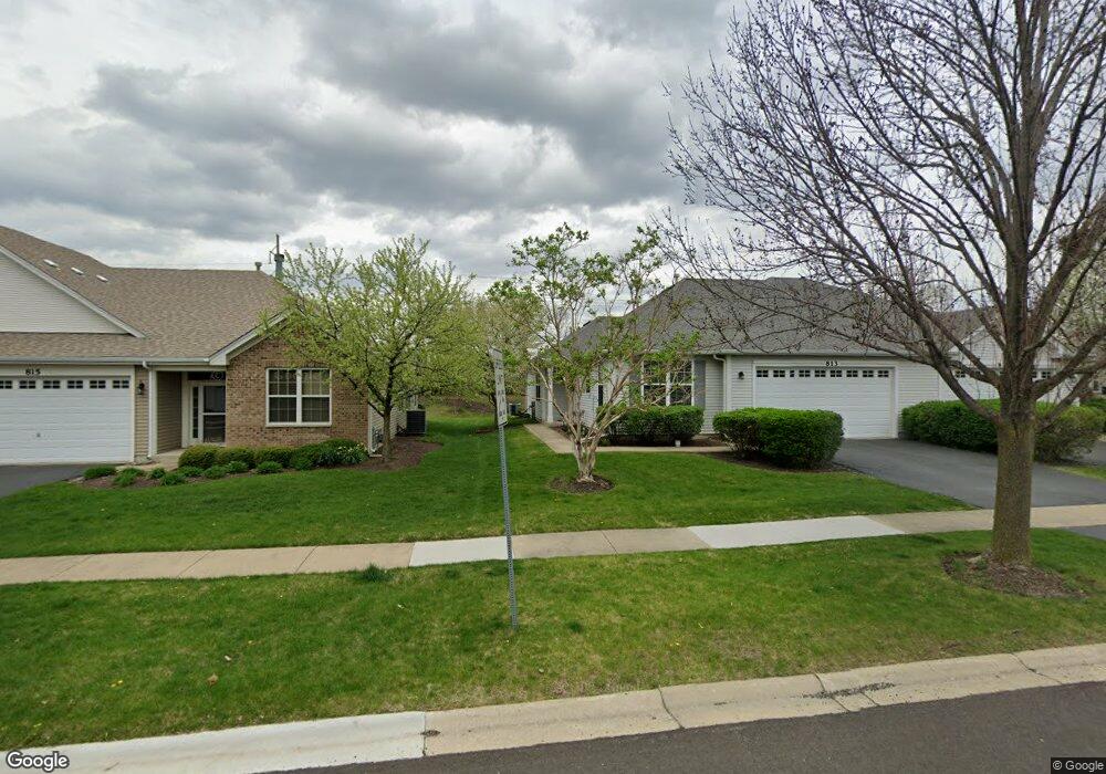
813 Bellevue Cir Oswego, IL 60543
North Oswego NeighborhoodEstimated Value: $289,512 - $321,000
2
Beds
2
Baths
1,408
Sq Ft
$217/Sq Ft
Est. Value
About This Home
This home is located at 813 Bellevue Cir, Oswego, IL 60543 and is currently estimated at $306,128, approximately $217 per square foot. 813 Bellevue Cir is a home located in Kendall County with nearby schools including Churchill Elementary School, Plank Junior High School, and Oswego East High School.
Ownership History
Date
Name
Owned For
Owner Type
Purchase Details
Closed on
Apr 26, 2010
Sold by
Knapp Carolyn M
Bought by
Sharp Coral L
Current Estimated Value
Purchase Details
Closed on
Oct 3, 2006
Sold by
Pinnacle Corp
Bought by
Knapp Carolyn M
Home Financials for this Owner
Home Financials are based on the most recent Mortgage that was taken out on this home.
Original Mortgage
$157,000
Interest Rate
6.45%
Mortgage Type
Purchase Money Mortgage
Create a Home Valuation Report for This Property
The Home Valuation Report is an in-depth analysis detailing your home's value as well as a comparison with similar homes in the area
Home Values in the Area
Average Home Value in this Area
Purchase History
| Date | Buyer | Sale Price | Title Company |
|---|---|---|---|
| Sharp Coral L | $171,000 | None Available | |
| Knapp Carolyn M | $180,000 | Chicago Title Insurance Co |
Source: Public Records
Mortgage History
| Date | Status | Borrower | Loan Amount |
|---|---|---|---|
| Previous Owner | Knapp Carolyn M | $157,000 |
Source: Public Records
Tax History Compared to Growth
Tax History
| Year | Tax Paid | Tax Assessment Tax Assessment Total Assessment is a certain percentage of the fair market value that is determined by local assessors to be the total taxable value of land and additions on the property. | Land | Improvement |
|---|---|---|---|---|
| 2024 | $5,357 | $77,566 | $11,686 | $65,880 |
| 2023 | $4,544 | $67,449 | $10,162 | $57,287 |
| 2022 | $4,544 | $61,317 | $9,238 | $52,079 |
| 2021 | $4,616 | $60,332 | $9,090 | $51,242 |
| 2020 | $4,605 | $59,735 | $9,000 | $50,735 |
| 2019 | $4,678 | $59,735 | $9,000 | $50,735 |
| 2018 | $4,075 | $53,369 | $13,624 | $39,745 |
| 2017 | $3,915 | $49,188 | $12,557 | $36,631 |
| 2016 | $3,705 | $46,623 | $11,902 | $34,721 |
| 2015 | $3,690 | $44,830 | $11,444 | $33,386 |
| 2014 | -- | $43,106 | $11,004 | $32,102 |
| 2013 | -- | $43,541 | $11,115 | $32,426 |
Source: Public Records
Map
Nearby Homes
- 790 Bohannon Cir
- 786 Bohannon Cir
- 623 Queen Dr
- 0000 Fifth St
- 295 Kendall Point Dr
- 295 Springbrook Trail S
- 22 Alex Ct Unit 1
- 210 Woodford Rd
- 700 N Sparkle Ct
- 94 Waterbury Cir
- 479 Raintree Dr
- 610 Salem Cir
- 121 Springbrook Trail S
- 500 Half Moon Ct
- 381 Chesapeake Ln
- 457 Newport Cir
- BELLAMY Plan at Marquis Pointe
- SIENNA Plan at Marquis Pointe
- HOLCOMBE Plan at Marquis Pointe
- HENLEY Plan at Marquis Pointe
- 815 Bellevue Cir
- 811 Bellevue Cir
- 817 Bellevue Cir
- 809 Bellevue Cir
- 819 Bellevue Cir
- 810 Bellevue Cir
- 812 Bellevue Cir
- 807 Bellevue Cir
- 814 Bellevue Cir
- 821 Bellevue Cir
- 816 Bellevue Cir
- 806 Bellevue Cir
- 804 Bellevue Cir
- 818 Bellevue Cir
- 802 Bellevue Cir
- 779 Bellevue Cir
- 777 Bellevue Cir
- 777 Bellevue Cir Unit 1
- 820 Bellevue Cir
- 775 Bellevue Cir