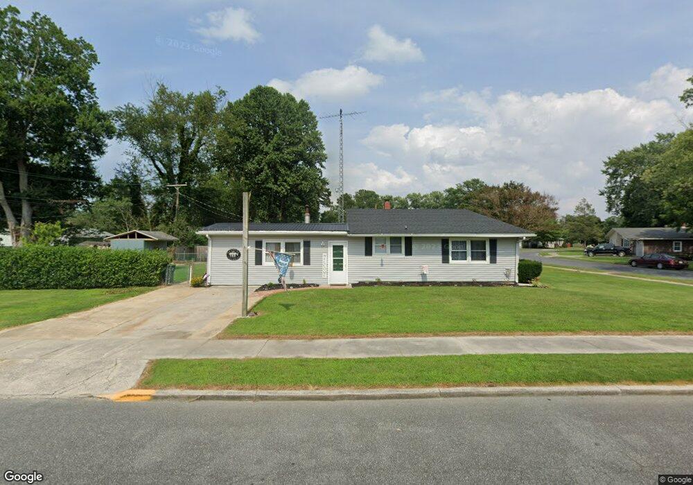
813 Rosetree Ln Seaford, DE 19973
Estimated Value: $212,194 - $279,000
3
Beds
1
Bath
1,450
Sq Ft
$178/Sq Ft
Est. Value
About This Home
This home is located at 813 Rosetree Ln, Seaford, DE 19973 and is currently estimated at $257,799, approximately $177 per square foot. 813 Rosetree Ln is a home located in Sussex County with nearby schools including Seaford Central Elementary School, Frederick Douglass Elementary School, and Seaford Middle School.
Ownership History
Date
Name
Owned For
Owner Type
Purchase Details
Closed on
Feb 22, 2024
Sold by
Milligan Michael R and West Holly Nicole
Bought by
Clymer Beatrice C
Current Estimated Value
Home Financials for this Owner
Home Financials are based on the most recent Mortgage that was taken out on this home.
Original Mortgage
$105,000
Outstanding Balance
$103,162
Interest Rate
6.66%
Mortgage Type
New Conventional
Estimated Equity
$154,637
Purchase Details
Closed on
Aug 2, 1989
Bought by
Milligan Holly Sean Milligan Mich
Create a Home Valuation Report for This Property
The Home Valuation Report is an in-depth analysis detailing your home's value as well as a comparison with similar homes in the area
Home Values in the Area
Average Home Value in this Area
Purchase History
| Date | Buyer | Sale Price | Title Company |
|---|---|---|---|
| Clymer Beatrice C | -- | None Listed On Document | |
| Milligan Holly Sean Milligan Mich | -- | -- |
Source: Public Records
Mortgage History
| Date | Status | Borrower | Loan Amount |
|---|---|---|---|
| Open | Clymer Beatrice C | $105,000 |
Source: Public Records
Tax History
| Year | Tax Paid | Tax Assessment Tax Assessment Total Assessment is a certain percentage of the fair market value that is determined by local assessors to be the total taxable value of land and additions on the property. | Land | Improvement |
|---|---|---|---|---|
| 2025 | $959 | $14,400 | $2,450 | $11,950 |
| 2024 | $720 | $14,400 | $2,450 | $11,950 |
| 2023 | $720 | $14,400 | $2,450 | $11,950 |
| 2022 | $702 | $14,400 | $2,450 | $11,950 |
| 2021 | $705 | $14,400 | $2,450 | $11,950 |
| 2020 | $764 | $14,400 | $2,450 | $11,950 |
| 2019 | $669 | $14,400 | $2,450 | $11,950 |
| 2018 | $652 | $14,400 | $0 | $0 |
| 2017 | $619 | $14,400 | $0 | $0 |
| 2016 | $596 | $14,400 | $0 | $0 |
| 2015 | $595 | $14,400 | $0 | $0 |
| 2014 | $564 | $14,400 | $0 | $0 |
Source: Public Records
Map
Nearby Homes
- 733 Huston St
- 133 Belle Ayre Dr
- 714 W Ivy Dr
- 301 Lilac Ln
- 749 Hurley Park Dr
- 126 William Ross Ln
- 200 Tulip Place
- 723 Hurley Park Dr
- 23849 Ross Station Rd
- 35 Read St
- 31 N Pine Street Extension
- 303 State St
- 421 N Porter St
- 900 W Locust St
- 1102 Wythe Ln
- 517 Elm Dr
- 321 N Willey St
- 131 4th St
- 306 4th St
- 308 Sussex Ave
Your Personal Tour Guide
Ask me questions while you tour the home.