8147 Highway 49 E Springfield, TN 37172
Estimated Value: $864,000 - $887,447
Studio
3
Baths
3,219
Sq Ft
$272/Sq Ft
Est. Value
About This Home
This home is located at 8147 Highway 49 E, Springfield, TN 37172 and is currently estimated at $875,724, approximately $272 per square foot. 8147 Highway 49 E is a home located in Robertson County with nearby schools including East Robertson Elementary School and East Robertson High School.
Ownership History
Date
Name
Owned For
Owner Type
Purchase Details
Closed on
Jul 23, 2020
Sold by
Sneed James Dean
Bought by
Skimehorn David E and Skimehorn Kathy Nicole
Current Estimated Value
Purchase Details
Closed on
Oct 25, 2013
Home Financials for this Owner
Home Financials are based on the most recent Mortgage that was taken out on this home.
Original Mortgage
$338,006
Interest Rate
4.33%
Mortgage Type
Commercial
Create a Home Valuation Report for This Property
The Home Valuation Report is an in-depth analysis detailing your home's value as well as a comparison with similar homes in the area
Home Values in the Area
Average Home Value in this Area
Purchase History
| Date | Buyer | Sale Price | Title Company |
|---|---|---|---|
| Skimehorn David E | $60,240 | None Available | |
| Skimehorn David E | -- | None Available | |
| -- | $137,500 | -- | |
| Skimehorn David E | $137,500 | -- |
Source: Public Records
Mortgage History
| Date | Status | Borrower | Loan Amount |
|---|---|---|---|
| Previous Owner | Skimehorn David E | $338,006 |
Source: Public Records
Tax History
| Year | Tax Paid | Tax Assessment Tax Assessment Total Assessment is a certain percentage of the fair market value that is determined by local assessors to be the total taxable value of land and additions on the property. | Land | Improvement |
|---|---|---|---|---|
| 2025 | $2,520 | $140,025 | $24,825 | $115,200 |
| 2024 | $2,520 | $140,025 | $24,825 | $115,200 |
| 2023 | $2,520 | $140,025 | $24,825 | $115,200 |
| 2022 | $2,258 | $87,650 | $12,225 | $75,425 |
| 2021 | $2,258 | $87,650 | $12,225 | $75,425 |
| 2020 | $2,197 | $87,650 | $12,225 | $75,425 |
| 2019 | $2,197 | $85,300 | $9,875 | $75,425 |
| 2018 | $1,819 | $70,625 | $9,875 | $60,750 |
| 2017 | $1,706 | $55,300 | $5,475 | $49,825 |
| 2016 | $1,706 | $55,300 | $5,475 | $49,825 |
| 2015 | $1,637 | $55,300 | $5,475 | $49,825 |
| 2014 | $1,637 | $55,300 | $5,475 | $49,825 |
Source: Public Records
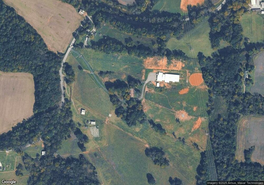
Map
Nearby Homes
- 0 Pinson Rd
- 6437 Hopewell Rd
- 29640 Highway 49 E
- 7518 Highway 49 E
- 6348 S Lamont Rd
- 5969 S Lamont Rd
- 0 Charles Dorris Rd
- 6056 S Lamont Rd
- 3068 Chance Ct
- 7265 Bob Carr Rd
- 1115 W Church St
- 5031 Homer Worsham Rd
- 29490 Highway 49 E
- 4616 Woodrow Wilson Rd
- 0 Homer Worsham Rd
- 6160 Underwood Rd
- 4337 Woodrow Wilson Rd
- 4398 Woodrow Wilson Rd
- 4394 Socata Ct
- 5918 Lakeview Rd
- 8157 Highway 49 E
- 6252 Henry Rd
- 6192 Henry Rd
- 8055 Highway 49 E
- 8278 Highway 49 E
- 6241 Henry Rd
- 6338 Henry Rd
- 8040 Highway 49 E
- 8302 Highway 49 E
- 6330 Henry Rd
- 8281 Highway 49 E
- 8034 Highway 49 E
- 8305 Highway 49 E
- 8028 Highway 49 E
- 8320 Highway 49 E
- 8311 Highway 49 E
- 6020 Henry Rd
- 8326 Highway 49 E
- 6311 Henry Rd
- 6016 Henry Rd
Your Personal Tour Guide
Ask me questions while you tour the home.