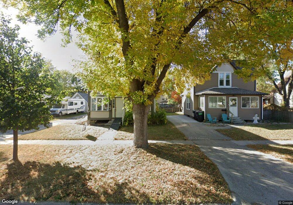
815 Carroll Ave Unit 813 Ames, IA 50010
Brandshell NeighborhoodEstimated Value: $201,000 - $270,233
5
Beds
3
Baths
2,038
Sq Ft
$114/Sq Ft
Est. Value
About This Home
This home is located at 815 Carroll Ave Unit 813, Ames, IA 50010 and is currently estimated at $232,308, approximately $113 per square foot. 815 Carroll Ave Unit 813 is a home located in Story County with nearby schools including Meeker Elementary School, Ames Middle School, and Ames High School.
Ownership History
Date
Name
Owned For
Owner Type
Purchase Details
Closed on
May 4, 2022
Sold by
Matthew Schlue
Bought by
Abney Weston L
Current Estimated Value
Home Financials for this Owner
Home Financials are based on the most recent Mortgage that was taken out on this home.
Original Mortgage
$184,594
Outstanding Balance
$175,123
Interest Rate
5.1%
Mortgage Type
New Conventional
Estimated Equity
$57,185
Purchase Details
Closed on
Jun 28, 2017
Sold by
Sauer Michael T and Sauer Sarah
Bought by
Schlue Matthew
Home Financials for this Owner
Home Financials are based on the most recent Mortgage that was taken out on this home.
Original Mortgage
$118,720
Interest Rate
3.94%
Mortgage Type
Purchase Money Mortgage
Create a Home Valuation Report for This Property
The Home Valuation Report is an in-depth analysis detailing your home's value as well as a comparison with similar homes in the area
Home Values in the Area
Average Home Value in this Area
Purchase History
| Date | Buyer | Sale Price | Title Company |
|---|---|---|---|
| Abney Weston L | $188,000 | Rowe James G | |
| Schlue Matthew | -- | None Available |
Source: Public Records
Mortgage History
| Date | Status | Borrower | Loan Amount |
|---|---|---|---|
| Open | Abney Weston L | $184,594 | |
| Previous Owner | Schlue Matthew | $118,720 |
Source: Public Records
Tax History
| Year | Tax Paid | Tax Assessment Tax Assessment Total Assessment is a certain percentage of the fair market value that is determined by local assessors to be the total taxable value of land and additions on the property. | Land | Improvement |
|---|---|---|---|---|
| 2025 | $2,992 | $251,200 | $30,400 | $220,800 |
| 2024 | $2,926 | $216,500 | $37,100 | $179,400 |
| 2023 | $2,350 | $216,500 | $37,100 | $179,400 |
| 2022 | $2,468 | $148,500 | $37,100 | $111,400 |
| 2021 | $2,562 | $148,500 | $37,100 | $111,400 |
| 2020 | $2,524 | $145,600 | $36,400 | $109,200 |
| 2019 | $2,524 | $145,600 | $36,400 | $109,200 |
| 2018 | $2,544 | $145,600 | $36,400 | $109,200 |
| 2017 | $2,544 | $145,600 | $36,400 | $109,200 |
| 2016 | $1,860 | $114,300 | $29,900 | $84,400 |
| 2015 | $1,860 | $114,300 | $29,900 | $84,400 |
| 2014 | $1,898 | $114,300 | $29,900 | $84,400 |
Source: Public Records
Map
Nearby Homes
- 713 Crawford Ave
- 611 Kellogg Ave
- 515 E 13th St
- 505 8th St
- 1003 Clark Ave
- 809 Wilson Ave
- 605 8th St Unit 607
- 1523 Stafford Ave
- 803 Grand Ave
- 715 Grand Ave
- 1312 Wilson Ave
- 1504 Burnett Ave
- 209 S Kellogg Ave
- 822 7th St
- 1406 Harding Ave
- 1822 Maxwell Ave
- 1020 10th St
- 1225 Marston Ave
- 1941 Paulson Dr
- 1221 Curtiss Ave
- 813 Carroll Ave
- 819 Carroll Ave
- 809 Carroll Ave
- 823 Carroll Ave
- 825 Carroll Ave
- 816 Carroll Ave Unit 816
- 816 Carroll Ave
- 803 Carroll Ave
- 122 E 9th St
- 822 Carroll Ave
- 116 E 9th St
- 818 Carroll Ave
- 812 Carroll Ave
- 828 Carroll Ave
- 804 Carroll Ave
- 804 Duff Ave
- 814 Duff Ave
- 814 Duff Ave
- 814 Duff Ave
- 814 Duff Ave
Your Personal Tour Guide
Ask me questions while you tour the home.