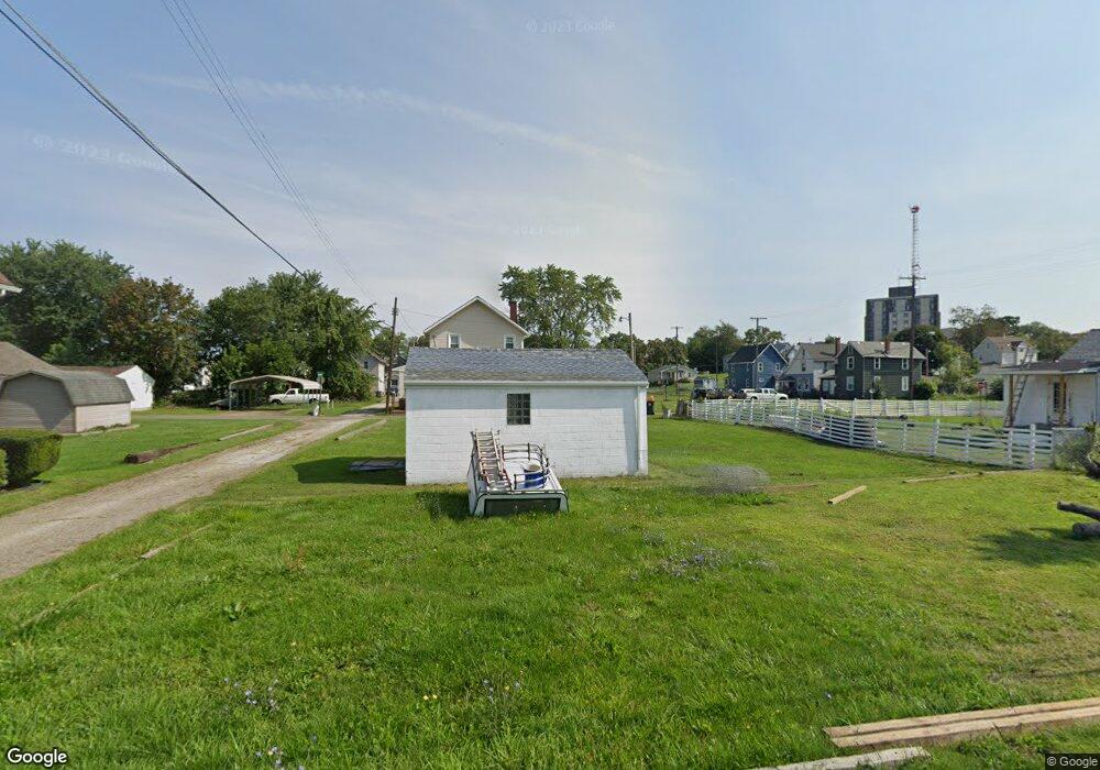
815 Michael Place SW Canton, OH 44707
Southwest Association of Neighbors NeighborhoodEstimated Value: $31,283 - $93,000
Studio
2
Baths
--
Sq Ft
2,091
Sq Ft Lot
About This Home
This home is located at 815 Michael Place SW, Canton, OH 44707 and is currently estimated at $53,071. 815 Michael Place SW is a home located in Stark County with nearby schools including Early Learning Center @ Schreiber, Cedar Elementary School, and Clarendon Intermediate School.
Ownership History
Date
Name
Owned For
Owner Type
Purchase Details
Closed on
Jul 22, 2021
Sold by
Patterson Mark A
Bought by
Singleton Misty L
Current Estimated Value
Purchase Details
Closed on
Dec 22, 2000
Sold by
Mills Mark A and Mills Marie F
Bought by
Foerster Timothy
Home Financials for this Owner
Home Financials are based on the most recent Mortgage that was taken out on this home.
Original Mortgage
$15,400
Interest Rate
6.25%
Mortgage Type
Seller Take Back
Purchase Details
Closed on
Mar 1, 1994
Create a Home Valuation Report for This Property
The Home Valuation Report is an in-depth analysis detailing your home's value as well as a comparison with similar homes in the area
Home Values in the Area
Average Home Value in this Area
Purchase History
| Date | Buyer | Sale Price | Title Company |
|---|---|---|---|
| Singleton Misty L | $1,200 | None Available | |
| Foerster Timothy | $15,400 | -- | |
| -- | $6,900 | -- |
Source: Public Records
Mortgage History
| Date | Status | Borrower | Loan Amount |
|---|---|---|---|
| Previous Owner | Foerster Timothy | $15,400 |
Source: Public Records
Tax History
| Year | Tax Paid | Tax Assessment Tax Assessment Total Assessment is a certain percentage of the fair market value that is determined by local assessors to be the total taxable value of land and additions on the property. | Land | Improvement |
|---|---|---|---|---|
| 2025 | -- | $770 | $770 | -- |
| 2024 | $38 | $770 | $770 | -- |
| 2023 | $37 | $490 | $490 | -- |
| 2022 | $35 | $490 | $490 | $0 |
| 2021 | $35 | $490 | $490 | $0 |
| 2020 | $34 | $420 | $420 | $0 |
| 2019 | $6 | $420 | $420 | $0 |
Source: Public Records
Map
Nearby Homes
- 734 Patterson Ave SW
- 900 4th St SW
- 1002 Cleveland Ave SW
- 921 Camden Ave SW
- 1031 Camden Ave SW
- 719 Prospect Ave SW
- 1124 Monnot Place NW
- 1334 Margaret Ave SW
- 706 Harriet Ave NW
- 1115 Dueber Ave SW
- 1407 7th St NW
- 814 Plymouth Ct NW
- 1215 Dueber Ave SW
- 1219 Dueber Ave SW
- 1401 8th St NW
- 1405 8th St NW
- 1409 8th St NW
- 906 Harrison Ave SW
- 1021 Greenfield Ave SW
- 1221 9th St NW
- 707 Marion Ave SW
- 705 Marion Ave SW
- 713 Marion Ave SW
- 709 Marion Ave SW
- 903 Michael Place SW
- 701 Marion Ave SW
- 900 7th St SW
- 626 Shorb Ave SW
- 901 Raynolds Place SW
- 700 Union Ave SW
- 627 Marion Ave SW
- 623 Marion Ave SW
- 712 Union Ave SW
- 710 Marion Ave SW
- 900 Raynolds Place SW
- 621 Marion Ave SW
- 723 Marion Ave SW
- 626 Union Ave SW
- 720 Union Ave SW
- 720 Marion Ave SW
Your Personal Tour Guide
Ask me questions while you tour the home.