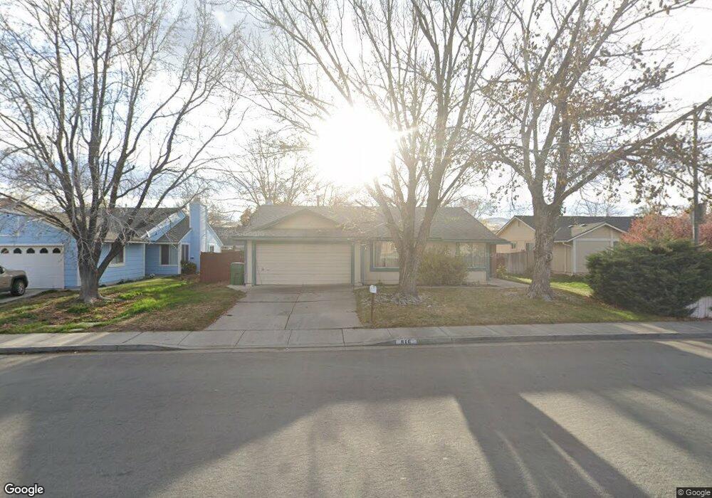
816 Station St Sparks, NV 89434
O'Callaghan NeighborhoodEstimated Value: $480,501 - $510,000
4
Beds
2
Baths
1,888
Sq Ft
$261/Sq Ft
Est. Value
About This Home
This home is located at 816 Station St, Sparks, NV 89434 and is currently estimated at $492,125, approximately $260 per square foot. 816 Station St is a home located in Washoe County with nearby schools including Katherine Dunn Elementary School, George L Dilworth Middle School, and Edward C Reed High School.
Ownership History
Date
Name
Owned For
Owner Type
Purchase Details
Closed on
Mar 12, 2013
Sold by
Newman Christine H and Herman Christine H
Bought by
Newman Christine H
Current Estimated Value
Home Financials for this Owner
Home Financials are based on the most recent Mortgage that was taken out on this home.
Original Mortgage
$63,450
Interest Rate
3.41%
Mortgage Type
VA
Create a Home Valuation Report for This Property
The Home Valuation Report is an in-depth analysis detailing your home's value as well as a comparison with similar homes in the area
Home Values in the Area
Average Home Value in this Area
Purchase History
| Date | Buyer | Sale Price | Title Company |
|---|---|---|---|
| Newman Christine H | -- | None Available |
Source: Public Records
Mortgage History
| Date | Status | Borrower | Loan Amount |
|---|---|---|---|
| Closed | Newman Christine H | $63,450 |
Source: Public Records
Tax History
| Year | Tax Paid | Tax Assessment Tax Assessment Total Assessment is a certain percentage of the fair market value that is determined by local assessors to be the total taxable value of land and additions on the property. | Land | Improvement |
|---|---|---|---|---|
| 2026 | $1,332 | $68,416 | $34,650 | $33,766 |
| 2025 | $1,730 | $69,793 | $34,580 | $35,213 |
| 2024 | $2,272 | $68,978 | $32,725 | $36,253 |
| 2023 | $2,272 | $67,383 | $32,305 | $35,078 |
| 2022 | $1,632 | $55,819 | $26,005 | $29,814 |
| 2021 | $1,585 | $50,063 | $19,845 | $30,218 |
| 2020 | $1,536 | $50,581 | $19,775 | $30,806 |
| 2019 | $1,492 | $49,193 | $18,935 | $30,258 |
| 2018 | $1,449 | $44,030 | $13,965 | $30,065 |
| 2017 | $1,408 | $43,212 | $12,670 | $30,542 |
| 2016 | $1,373 | $43,005 | $11,410 | $31,595 |
| 2015 | $1,369 | $41,749 | $9,625 | $32,124 |
| 2014 | $1,330 | $39,489 | $8,225 | $31,264 |
| 2013 | -- | $35,539 | $6,090 | $29,449 |
Source: Public Records
Map
Nearby Homes
- 1218 Junction Dr
- 1308 Coachman Dr
- 1544 Woodhaven Ln
- 1262 Union St
- 1012 Alta Vista Dr
- 960 Cherry Tree Dr Unit 1
- 860 Cherry Tree Dr Unit 2
- 675 Parlanti Ln Unit 124
- 675 Parlanti Ln Unit 38
- 675 Parlanti Ln Unit 11
- 675 Parlanti Ln Unit 42
- 675 Parlanti Ln Unit 9
- 675 Parlanti Ln Unit 88
- 675 Parlanti Ln Unit 63
- 1236 Flora Glen Dr
- 995 Sage View Dr
- 2140 Burnside Dr
- 1954 Rio Tinto Dr
- 828 Woodglen Dr Unit 2
- 801 Woodglen Dr Unit 2
- 830 Station St
- 810 Station St
- 1263 Pullman Dr
- 1269 Pullman Ct
- 1271 Pullman Ct
- 1267 Pullman Ct
- 1265 Pullman Dr
- 806 Station St
- 1273 Pullman Ct
- 1275 Pullman Ct
- 000 Pullman Dr
- 1260 Pullman Dr
- 1264 Pullman Dr
- 1277 Pullman Ct
- 1256 Pullman Dr Unit 1
- 1297 Pullman Ct
- 1299 Pullman Dr
- 1248 Pullman Dr
- 1268 Pullman Dr Unit 1
- 1252 Pullman Dr
Your Personal Tour Guide
Ask me questions while you tour the home.