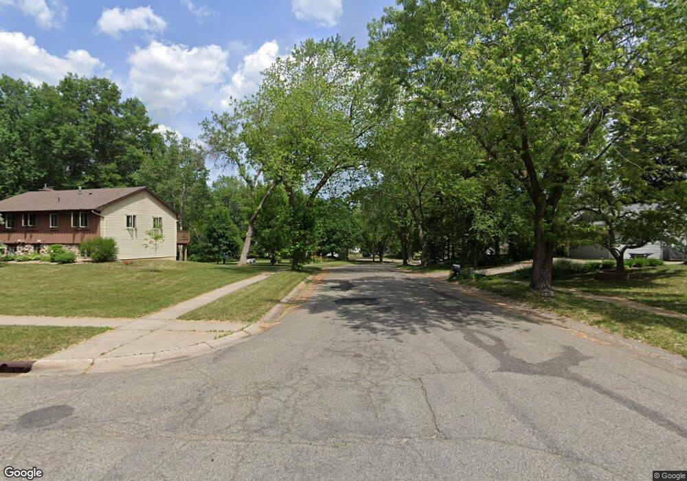
8170 134th St W Saint Paul, MN 55124
Alimagnet NeighborhoodEstimated Value: $654,000 - $663,000
5
Beds
4
Baths
2,637
Sq Ft
$250/Sq Ft
Est. Value
About This Home
This home is located at 8170 134th St W, Saint Paul, MN 55124 and is currently estimated at $658,995, approximately $249 per square foot. 8170 134th St W is a home located in Dakota County with nearby schools including Westview Elementary School, Falcon Ridge Middle School, and Apple Valley Senior High School.
Ownership History
Date
Name
Owned For
Owner Type
Purchase Details
Closed on
Mar 6, 2025
Sold by
Lummis Allen P and Lummis Theresa A
Bought by
Allen P Lummis Trust and Theresa A Lummis Trust
Current Estimated Value
Purchase Details
Closed on
Nov 19, 1997
Sold by
Elliot Hubert Neil and Elliot Kay Renee
Bought by
Lummis Allen P and Lummis Theresa A
Create a Home Valuation Report for This Property
The Home Valuation Report is an in-depth analysis detailing your home's value as well as a comparison with similar homes in the area
Home Values in the Area
Average Home Value in this Area
Purchase History
| Date | Buyer | Sale Price | Title Company |
|---|---|---|---|
| Allen P Lummis Trust | $500 | None Listed On Document | |
| Lummis Allen P | $295,000 | -- |
Source: Public Records
Tax History Compared to Growth
Tax History
| Year | Tax Paid | Tax Assessment Tax Assessment Total Assessment is a certain percentage of the fair market value that is determined by local assessors to be the total taxable value of land and additions on the property. | Land | Improvement |
|---|---|---|---|---|
| 2024 | $7,220 | $629,000 | $174,100 | $454,900 |
| 2023 | $7,220 | $615,400 | $174,500 | $440,900 |
| 2022 | $5,818 | $586,500 | $173,900 | $412,600 |
| 2021 | $5,752 | $499,600 | $151,200 | $348,400 |
| 2020 | $5,846 | $483,000 | $150,900 | $332,100 |
| 2019 | $5,188 | $476,000 | $143,700 | $332,300 |
| 2018 | $5,275 | $440,700 | $136,800 | $303,900 |
| 2017 | $5,489 | $428,100 | $130,300 | $297,800 |
| 2016 | $5,195 | $422,000 | $124,100 | $297,900 |
| 2015 | $5,480 | $394,182 | $121,202 | $272,980 |
| 2014 | -- | $419,200 | $117,300 | $301,900 |
| 2013 | -- | $400,940 | $108,114 | $292,826 |
Source: Public Records
Map
Nearby Homes
- 13420 Gull Ct
- 13345 Huntington Cir
- 13101 Heritage Way
- 13306 Huntington Cir
- 13761 Hollybrook Cir
- 13751 Hollybrook Cir
- 13731 Hollybrook Cir
- 13727 Hollybrook Cir
- The Sophia Plan at Eagle Pointe - Townhomes
- The Amelia Plan at Eagle Pointe - Townhomes
- The Magnolia Plan at Eagle Pointe - Townhomes
- The Nolan Plan at Eagle Pointe - Townhomes
- 14132 Heywood Path
- 13613 Hollybrook Dr
- 13609 Hollybrook Dr
- 13599 Hollybrook Dr
- 7577 138th St W
- 13591 Hollybrook Way
- 14010 140th Ct
- 8776 134th St W
- 8150 134th St W
- 13396 Havelock Trail
- 13386 Havelock Trail
- 13406 Havelock Trail
- 8110 134th St W
- 8140 134th St W
- 13391 Havelock Trail
- 13376 Havelock Trail
- 8125 134th St W
- 8215 Havelock Ct
- 13470 Havelock Trail
- 8080 134th St W
- 8115 134th St W
- 13480 Havelock Trail
- 8210 Havelock Ct
- 13375 Havelock Trail
- 13500 Harvest Ct
- 8085 134th St W
- 13535 Harvest Ct
- 8235 Havelock Ct