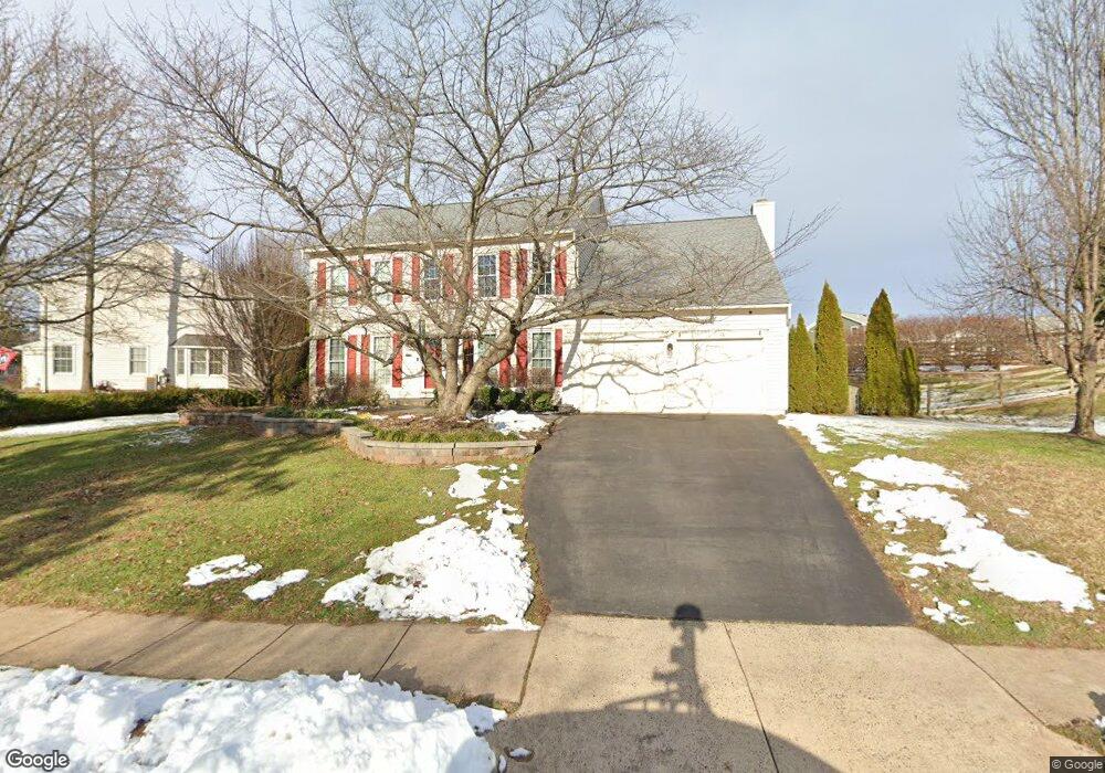
8176 Lone Oak Ct Manassas, VA 20111
Signal Hill NeighborhoodEstimated Value: $729,000 - $785,000
4
Beds
3
Baths
2,947
Sq Ft
$253/Sq Ft
Est. Value
About This Home
This home is located at 8176 Lone Oak Ct, Manassas, VA 20111 and is currently estimated at $745,628, approximately $253 per square foot. 8176 Lone Oak Ct is a home located in Prince William County with nearby schools including Signal Hill Elementary School, Parkside Middle School, and Osbourn Park High School.
Ownership History
Date
Name
Owned For
Owner Type
Purchase Details
Closed on
Nov 25, 2003
Sold by
Reese Kenneth E
Bought by
Shaffer Karl M
Current Estimated Value
Home Financials for this Owner
Home Financials are based on the most recent Mortgage that was taken out on this home.
Original Mortgage
$311,200
Outstanding Balance
$145,211
Interest Rate
5.98%
Mortgage Type
New Conventional
Estimated Equity
$600,417
Create a Home Valuation Report for This Property
The Home Valuation Report is an in-depth analysis detailing your home's value as well as a comparison with similar homes in the area
Home Values in the Area
Average Home Value in this Area
Purchase History
| Date | Buyer | Sale Price | Title Company |
|---|---|---|---|
| Shaffer Karl M | $389,000 | -- |
Source: Public Records
Mortgage History
| Date | Status | Borrower | Loan Amount |
|---|---|---|---|
| Open | Shaffer Karl M | $311,200 |
Source: Public Records
Tax History Compared to Growth
Tax History
| Year | Tax Paid | Tax Assessment Tax Assessment Total Assessment is a certain percentage of the fair market value that is determined by local assessors to be the total taxable value of land and additions on the property. | Land | Improvement |
|---|---|---|---|---|
| 2025 | $5,984 | $641,500 | $176,800 | $464,700 |
| 2024 | $5,984 | $601,700 | $165,900 | $435,800 |
| 2023 | $6,098 | $586,100 | $161,800 | $424,300 |
| 2022 | $6,009 | $532,300 | $146,500 | $385,800 |
| 2021 | $5,823 | $477,100 | $132,400 | $344,700 |
| 2020 | $6,873 | $443,400 | $127,900 | $315,500 |
| 2019 | $6,733 | $434,400 | $125,700 | $308,700 |
| 2018 | $5,181 | $429,100 | $124,600 | $304,500 |
| 2017 | $5,155 | $418,100 | $121,700 | $296,400 |
| 2016 | $4,852 | $396,900 | $116,000 | $280,900 |
| 2015 | $4,708 | $389,800 | $114,000 | $275,800 |
| 2014 | $4,708 | $376,700 | $109,600 | $267,100 |
Source: Public Records
Map
Nearby Homes
- 9615 Linden Wood Rd
- 9516 Kimbleton Hall Loop
- 9524 Birmingham Dr
- 7809 Signal Hill Rd
- 8264 Knight Station Way
- 8246 Knight Station Way
- 8374 Buttress Ln Unit 202
- 8385 Buttress Ln Unit 103
- 9554 Cannoneer Ct Unit 101
- 8393 Buttress Ln Unit 101
- 9174 Wyche Knoll Ln
- 9404 Buckhall Farm Ct
- 8753 Deblanc Place
- 9939 Lake Jackson Dr
- 8600 Liberty Trail Unit 303
- 9006 Phita Ln
- 7800 Willow Pond Ct
- 10160 Forest Hill Cir
- 10140 Forest Hill Cir
- 10138 Forest Hill Cir
- 8190 Lone Oak Ct
- 8105 Signal Hill Rd
- 8167 Lone Oak Ct
- 8200 Lone Oak Ct
- 8164 Lone Oak Ct
- 8159 Lone Oak Ct
- 8175 Lone Oak Ct
- 8107 Signal Hill Rd
- 8158 Lone Oak Ct
- 8191 Lone Oak Ct
- 8210 Lone Oak Ct
- 9580 Linden Wood Rd
- 9590 Linden Wood Rd
- 9560 Linden Wood Rd
- 8109 Signal Hill Rd
- 8158 Barnwood Rd
- 8150 Barnwood Rd
- 9600 Linden Wood Rd
- 8166 Barnwood Rd
- 8209 Lone Oak Ct