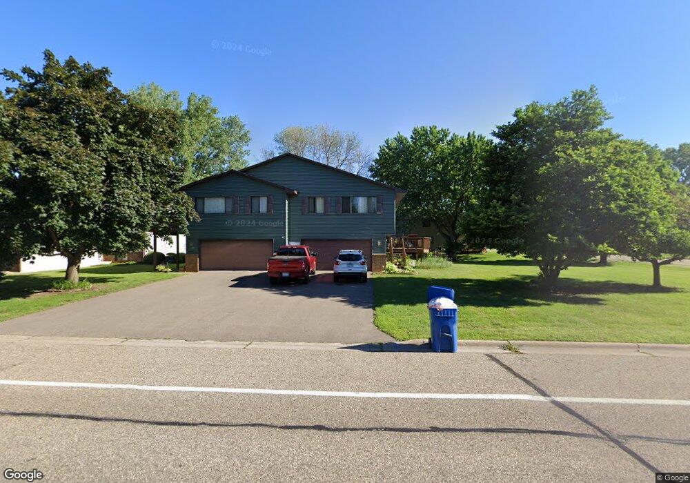
819 Belland Ave Saint Paul, MN 55127
Estimated Value: $231,000 - $321,000
2
Beds
2
Baths
862
Sq Ft
$318/Sq Ft
Est. Value
About This Home
This home is located at 819 Belland Ave, Saint Paul, MN 55127 and is currently estimated at $274,432, approximately $318 per square foot. 819 Belland Ave is a home located in Ramsey County with nearby schools including Vadnais Heights Elementary School, Sunrise Park Middle School, and AFSA High School.
Ownership History
Date
Name
Owned For
Owner Type
Purchase Details
Closed on
Jul 14, 2014
Sold by
Madden Dave and Madden Ann C
Bought by
Schloar James
Current Estimated Value
Home Financials for this Owner
Home Financials are based on the most recent Mortgage that was taken out on this home.
Original Mortgage
$133,045
Outstanding Balance
$101,681
Interest Rate
4.25%
Mortgage Type
FHA
Estimated Equity
$172,751
Purchase Details
Closed on
Sep 16, 2004
Sold by
Munson Carol L
Bought by
Shetka Ann C
Create a Home Valuation Report for This Property
The Home Valuation Report is an in-depth analysis detailing your home's value as well as a comparison with similar homes in the area
Home Values in the Area
Average Home Value in this Area
Purchase History
| Date | Buyer | Sale Price | Title Company |
|---|---|---|---|
| Schloar James | $139,606 | Titlesmart Inc | |
| Shetka Ann C | $170,000 | -- |
Source: Public Records
Mortgage History
| Date | Status | Borrower | Loan Amount |
|---|---|---|---|
| Open | Schloar James | $133,045 |
Source: Public Records
Tax History Compared to Growth
Tax History
| Year | Tax Paid | Tax Assessment Tax Assessment Total Assessment is a certain percentage of the fair market value that is determined by local assessors to be the total taxable value of land and additions on the property. | Land | Improvement |
|---|---|---|---|---|
| 2025 | $2,570 | $235,100 | $45,200 | $189,900 |
| 2023 | $2,570 | $202,100 | $45,200 | $156,900 |
| 2022 | $2,448 | $222,900 | $40,000 | $182,900 |
| 2021 | $1,968 | $184,600 | $40,000 | $144,600 |
| 2020 | $2,012 | $155,700 | $48,800 | $106,900 |
| 2019 | $1,904 | $148,300 | $48,800 | $99,500 |
| 2018 | $1,880 | $149,800 | $48,800 | $101,000 |
| 2017 | $1,724 | $149,200 | $48,800 | $100,400 |
| 2016 | $1,974 | $0 | $0 | $0 |
| 2015 | $2,290 | $144,800 | $66,900 | $77,900 |
| 2014 | $2,520 | $0 | $0 | $0 |
Source: Public Records
Map
Nearby Homes
- 832 Woodgate Dr Unit 107
- 697 Parkside Dr Unit 697H
- 3300 Greenbrier St Unit 3300C
- 3329 Greenbrier St
- 731 Berwood Ave
- 696 Monn Ave
- 3120 Greenbrier St
- 963 E Berwood Ave
- 3230 Edgerton St
- 3003 Greenbrier St
- 3000 Ontario Rd
- 3028 Edgerton St
- 3092 Vanderbie St
- 3015 Basswood St
- Revere Plan at Pioneer Commons - Colonial Manor Collection
- Franklin Plan at Pioneer Commons - Colonial Manor Collection
- Raleigh Plan at Pioneer Commons - Liberty Collection
- St.Clair Plan at Pioneer Commons - Liberty Collection
- 3309 Nathaniel Ct
- 3013 Basswood St
- 819 819 Belland Ave
- 817 Belland Ave
- 817 817 Belland Ave
- 0 Unassigned
- 3273 Arcade St S
- 3273 3273 Arcade-Street-s
- 3271 Arcade St S
- 3275 Arcade St S
- 3271 3271 Arcade St S
- 813 Belland Ave
- 813 813 Belland Ave
- 3277 Arcade St S
- 3271 3271 Arcade-Street-
- 0 Unassigned
- 3250 Monterey Ave
- 811 Belland Ave
- 3283 Arcade St S
- 3281 Arcade St S
- 3285 Arcade St S
- 3287 3287 Arcade-Street-s