81912 Sears Rd Creswell, OR 97426
Estimated Value: $885,000 - $1,286,239
4
Beds
3
Baths
3,514
Sq Ft
$315/Sq Ft
Est. Value
About This Home
This home is located at 81912 Sears Rd, Creswell, OR 97426 and is currently estimated at $1,107,560, approximately $315 per square foot. 81912 Sears Rd is a home located in Lane County with nearby schools including Creslane Elementary School, Creswell Middle School, and Creswell High School.
Ownership History
Date
Name
Owned For
Owner Type
Purchase Details
Closed on
May 6, 2016
Sold by
Veluscek Paul
Bought by
Pelzel Rashel
Current Estimated Value
Purchase Details
Closed on
Nov 17, 1999
Sold by
Graepel Volker and Graepel Karen
Bought by
Veluscek Paul
Create a Home Valuation Report for This Property
The Home Valuation Report is an in-depth analysis detailing your home's value as well as a comparison with similar homes in the area
Home Values in the Area
Average Home Value in this Area
Purchase History
| Date | Buyer | Sale Price | Title Company |
|---|---|---|---|
| Pelzel Rashel | -- | None Available | |
| Veluscek Paul | $100,075 | -- |
Source: Public Records
Tax History Compared to Growth
Tax History
| Year | Tax Paid | Tax Assessment Tax Assessment Total Assessment is a certain percentage of the fair market value that is determined by local assessors to be the total taxable value of land and additions on the property. | Land | Improvement |
|---|---|---|---|---|
| 2025 | $9,836 | $715,771 | -- | -- |
| 2024 | $6,932 | $694,924 | -- | -- |
| 2023 | $6,932 | $674,683 | $0 | $0 |
| 2022 | $7,715 | $655,033 | $0 | $0 |
| 2021 | $7,445 | $635,955 | $0 | $0 |
| 2020 | $7,366 | $617,433 | $0 | $0 |
| 2019 | $7,215 | $599,449 | $0 | $0 |
| 2018 | $7,139 | $540,354 | $0 | $0 |
| 2017 | $6,621 | $540,354 | $0 | $0 |
| 2016 | $6,858 | $524,616 | $0 | $0 |
| 2015 | $6,600 | $509,336 | $0 | $0 |
| 2014 | $6,447 | $484,963 | $0 | $0 |
Source: Public Records
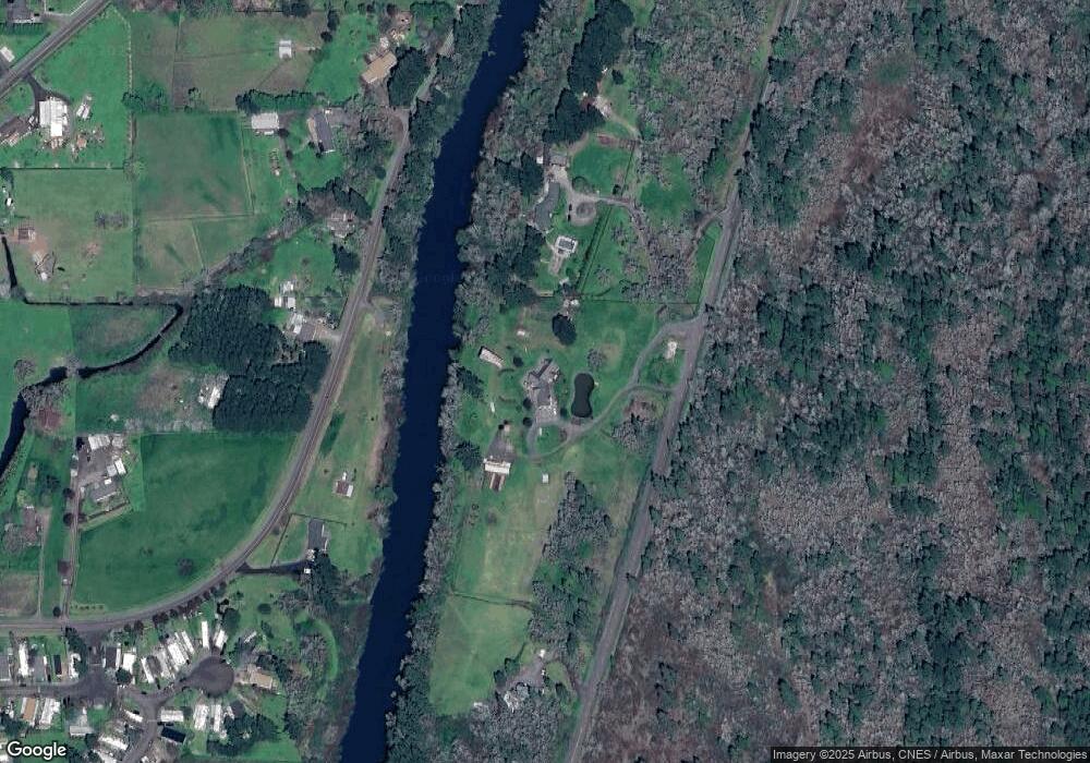
Map
Nearby Homes
- 82277 Davisson Rd
- 33425 Tate Rd
- 33320 Bryant Rd
- 0 River Dr
- 0 Holbrook Ln Unit 339588620
- 1 Queens Ave Unit 1
- 645 Boulder Loop
- 521 S 7th St
- 83 Sunday Dr
- 589 Mary Neal Ln
- 1765 Trevino Rd
- 82044 1980 Stat Boundary
- 316 Sunday Dr
- 336 Sunday Dr
- 375 Sunday Dr
- 491 Ironwood Loop
- 80930 Highway 99
- 370 Magnolia Dr
- 685 St Andrews Loop
- 700 N Mill St Unit 109
- 81930 Sears Rd
- 81290 River Dr
- 81928 River Dr
- 81851 River Dr
- 81972 River Dr
- 81996 River Dr
- 33823 E River Dr
- 82010 River Dr
- 82117 River Dr
- 82015 Hillview Dr
- 82034 River Dr
- 82029 Hillview Dr
- 33815 E River Dr
- 82001 Hillview Dr
- 82048 River Dr
- 82050 River Dr
- 81991 Hillview Dr
- 82043 Hillview Dr
- 33962 Row Rd
- 82048 Hillview Dr Unit VRM