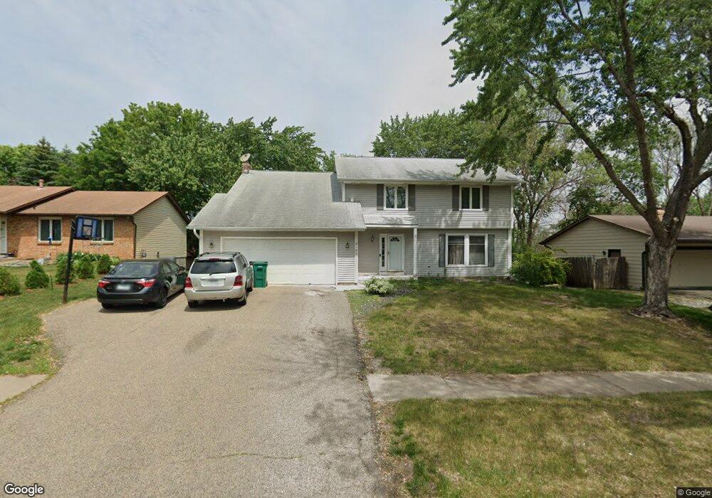
8195 159th St W Saint Paul, MN 55124
Old Town NeighborhoodEstimated Value: $451,000 - $491,000
4
Beds
3
Baths
2,090
Sq Ft
$222/Sq Ft
Est. Value
About This Home
This home is located at 8195 159th St W, Saint Paul, MN 55124 and is currently estimated at $464,870, approximately $222 per square foot. 8195 159th St W is a home located in Dakota County with nearby schools including Cedar Park Elementary STEM School, Valley Middle School, and Apple Valley Senior High School.
Ownership History
Date
Name
Owned For
Owner Type
Purchase Details
Closed on
Jul 24, 2015
Sold by
Engen Larry D and Engen Patricia A
Bought by
Abdirahman Kowsar H and Ali Jihan A
Current Estimated Value
Home Financials for this Owner
Home Financials are based on the most recent Mortgage that was taken out on this home.
Original Mortgage
$262,163
Outstanding Balance
$202,689
Interest Rate
3.62%
Mortgage Type
FHA
Estimated Equity
$262,181
Create a Home Valuation Report for This Property
The Home Valuation Report is an in-depth analysis detailing your home's value as well as a comparison with similar homes in the area
Home Values in the Area
Average Home Value in this Area
Purchase History
| Date | Buyer | Sale Price | Title Company |
|---|---|---|---|
| Abdirahman Kowsar H | $267,000 | Titlesmart Inc |
Source: Public Records
Mortgage History
| Date | Status | Borrower | Loan Amount |
|---|---|---|---|
| Open | Abdirahman Kowsar H | $262,163 |
Source: Public Records
Tax History Compared to Growth
Tax History
| Year | Tax Paid | Tax Assessment Tax Assessment Total Assessment is a certain percentage of the fair market value that is determined by local assessors to be the total taxable value of land and additions on the property. | Land | Improvement |
|---|---|---|---|---|
| 2024 | $5,084 | $450,900 | $84,600 | $366,300 |
| 2023 | $5,084 | $448,000 | $84,800 | $363,200 |
| 2022 | $4,038 | $444,800 | $84,500 | $360,300 |
| 2021 | $3,812 | $350,900 | $72,100 | $278,800 |
| 2020 | $3,852 | $325,700 | $68,600 | $257,100 |
| 2019 | $3,305 | $319,700 | $65,400 | $254,300 |
| 2018 | $3,322 | $289,300 | $62,200 | $227,100 |
| 2017 | $3,304 | $278,900 | $59,300 | $219,600 |
| 2016 | $3,141 | $264,400 | $56,500 | $207,900 |
| 2015 | $3,051 | $235,260 | $52,134 | $183,126 |
| 2014 | -- | $230,246 | $50,009 | $180,237 |
| 2013 | -- | $210,953 | $45,674 | $165,279 |
Source: Public Records
Map
Nearby Homes
- 8090 159th St W
- 15979 Harwell Ave
- 16096 Harmony Path
- 15813 Garden View Dr
- 15722 Griffon Ct
- 15887 Griffon Path
- 889 Whitney Dr
- 892 Redwell Ln
- 16187 Hawthorn Path
- 7765 157th St W
- 16276 Greenbriar Ct
- 16371 Harmony Path
- 921 Cortland Dr S
- 841 Cortland Dr
- 16421 Gunflint Trail
- 16246 Godson Cir
- 15964 Hyland Dr
- 7616 157th St W Unit D
- 16377 Greenbriar Ct
- 7600 157th St W Unit 105
- 8175 159th St W
- 8205 159th St W
- 15878 Harwell Ave
- 15888 Harwell Ave
- 8165 159th St W
- 15868 Harwell Ave
- 8225 159th St W
- 15953 Havelock Ct
- 15952 Havelock Ct
- 15858 Harwell Ave
- 15898 Harwell Ave
- 8155 159th St W
- 15848 Harwell Ave
- 15962 Havelock Ct
- 8160 159th Ct
- 15963 Havelock Ct
- 15950 Heath Ct
- 8135 159th St W
- 15879 Harwell Ave
- 15869 Harwell Ave