82 Batchelder Hill Rd Meredith, NH 03253
Estimated Value: $421,319 - $864,000
3
Beds
2
Baths
1,982
Sq Ft
$298/Sq Ft
Est. Value
About This Home
This home is located at 82 Batchelder Hill Rd, Meredith, NH 03253 and is currently estimated at $590,080, approximately $297 per square foot. 82 Batchelder Hill Rd is a home located in Belknap County with nearby schools including Inter-Lakes Elementary School.
Ownership History
Date
Name
Owned For
Owner Type
Purchase Details
Closed on
Mar 23, 2016
Sold by
Grace Insook
Bought by
Grace Ft
Current Estimated Value
Purchase Details
Closed on
Jun 7, 2013
Sold by
Grace Paul M and Grace Insook
Bought by
Grace Insook
Purchase Details
Closed on
Nov 5, 2001
Sold by
Has Rt
Bought by
Grace Paul M and Grace Insook
Home Financials for this Owner
Home Financials are based on the most recent Mortgage that was taken out on this home.
Original Mortgage
$90,000
Interest Rate
6.82%
Create a Home Valuation Report for This Property
The Home Valuation Report is an in-depth analysis detailing your home's value as well as a comparison with similar homes in the area
Home Values in the Area
Average Home Value in this Area
Purchase History
| Date | Buyer | Sale Price | Title Company |
|---|---|---|---|
| Grace Ft | -- | -- | |
| Grace Insook | -- | -- | |
| Grace Paul M | $24,900 | -- |
Source: Public Records
Mortgage History
| Date | Status | Borrower | Loan Amount |
|---|---|---|---|
| Previous Owner | Grace Paul M | $90,000 |
Source: Public Records
Tax History Compared to Growth
Tax History
| Year | Tax Paid | Tax Assessment Tax Assessment Total Assessment is a certain percentage of the fair market value that is determined by local assessors to be the total taxable value of land and additions on the property. | Land | Improvement |
|---|---|---|---|---|
| 2024 | $3,224 | $314,200 | $113,500 | $200,700 |
| 2023 | $3,107 | $314,200 | $113,500 | $200,700 |
| 2022 | $3,157 | $226,000 | $67,400 | $158,600 |
| 2021 | $3,035 | $226,000 | $67,400 | $158,600 |
| 2020 | $3,169 | $226,000 | $67,400 | $158,600 |
| 2019 | $3,099 | $195,000 | $50,800 | $144,200 |
| 2018 | $3,046 | $195,000 | $50,800 | $144,200 |
| 2016 | $2,750 | $176,400 | $47,000 | $129,400 |
| 2015 | $2,681 | $176,400 | $47,000 | $129,400 |
| 2014 | $2,616 | $176,400 | $47,000 | $129,400 |
| 2013 | $2,542 | $176,400 | $47,000 | $129,400 |
Source: Public Records
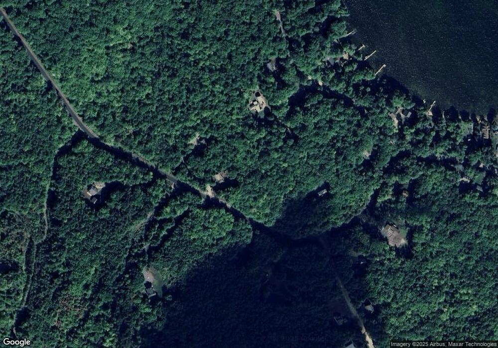
Map
Nearby Homes
- 0 Black Brook Rd Unit 5063655
- 36 New Rd
- 32 Eastman Shore Rd S
- 264 Chemung Rd
- 00 Chemung Rd Unit 31
- 2 Clover Ln
- 1 Clover Ln Unit 1
- 65 Tucker Mountain Rd
- 12 Clover Ln
- 247 Meredith Center Rd
- 6 Anthony Dr
- 1 Sanctuary Ln
- 18 Solace Pointe Rd
- 14 Solace Pointe Rd
- 00000 Severance Rd
- 1480 Old North Main St Unit 6
- 1480 Old N Main St Unit 14
- 20 Linny Ln
- 11 Penny Ln
- 6 Loon Point Rd
- 95 Batchelder Hill Rd
- 80 Batchelder Hill Rd
- 37 Black Brook Rd
- 83 Batchelder Hill Rd
- 39 Black Brook Rd
- 92 Batchelder Hill Rd
- 2 Batchelder Hill Rd
- 69 Batchelder Hill Rd
- 33 Black Brook Rd
- 5 Eagle Ledge Rd
- 49 Black Brook Rd
- 77 Batchelder Hill Rd
- 0 Batchelder Hill Unit 4320971
- 9 Eagle Ledge Rd
- 4 Eagle Ledge Rd
- 0 Black Brook Rd
- 42 Black Brook Rd
- 36 Black Brook Rd
- 38 Black Brook Rd
- 48 Black Brook Rd