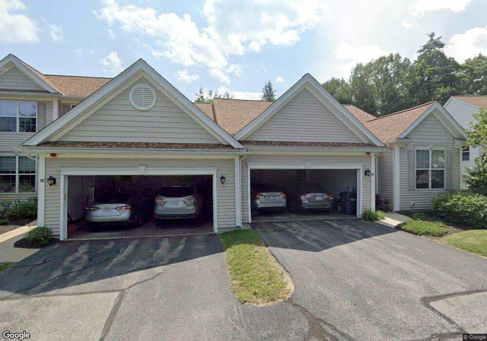
82 Brook Ln Berlin, MA 01503
Estimated Value: $564,087 - $636,000
2
Beds
3
Baths
1,480
Sq Ft
$403/Sq Ft
Est. Value
About This Home
This home is located at 82 Brook Ln, Berlin, MA 01503 and is currently estimated at $596,272, approximately $402 per square foot. 82 Brook Ln is a home located in Worcester County with nearby schools including Tahanto Regional High School, Hillside School, and First Steps Children's Center.
Ownership History
Date
Name
Owned For
Owner Type
Purchase Details
Closed on
Jan 17, 2007
Sold by
Kennedy Ft and Kennedy Clara E
Bought by
Kennedy Clara F and Kennedy Richard J
Current Estimated Value
Purchase Details
Closed on
Mar 17, 2005
Sold by
Dipersio Donna L and Dipersio Thomas P
Bought by
Kennedy Clara E and Kennedy Richard J
Home Financials for this Owner
Home Financials are based on the most recent Mortgage that was taken out on this home.
Original Mortgage
$374,320
Interest Rate
5.64%
Mortgage Type
Purchase Money Mortgage
Purchase Details
Closed on
Dec 13, 2002
Sold by
Pulte Home Corp Ne
Bought by
Dipersio Thomas P and Dipersio Donna L
Home Financials for this Owner
Home Financials are based on the most recent Mortgage that was taken out on this home.
Original Mortgage
$130,000
Interest Rate
6.17%
Mortgage Type
Purchase Money Mortgage
Create a Home Valuation Report for This Property
The Home Valuation Report is an in-depth analysis detailing your home's value as well as a comparison with similar homes in the area
Home Values in the Area
Average Home Value in this Area
Purchase History
| Date | Buyer | Sale Price | Title Company |
|---|---|---|---|
| Kennedy Clara F | -- | -- | |
| Kennedy Clara E | $467,900 | -- | |
| Dipersio Thomas P | $418,795 | -- |
Source: Public Records
Mortgage History
| Date | Status | Borrower | Loan Amount |
|---|---|---|---|
| Previous Owner | Kennedy Clara E | $374,320 | |
| Previous Owner | Dipersio Thomas P | $130,000 |
Source: Public Records
Tax History
| Year | Tax Paid | Tax Assessment Tax Assessment Total Assessment is a certain percentage of the fair market value that is determined by local assessors to be the total taxable value of land and additions on the property. | Land | Improvement |
|---|---|---|---|---|
| 2025 | $75 | $527,600 | $0 | $527,600 |
| 2024 | $6,435 | $504,700 | $0 | $504,700 |
| 2023 | $5,807 | $419,600 | $0 | $419,600 |
| 2022 | $6,008 | $384,400 | $0 | $384,400 |
| 2021 | $5,705 | $366,200 | $0 | $366,200 |
| 2020 | $5,880 | $372,400 | $0 | $372,400 |
| 2019 | $5,661 | $376,400 | $0 | $376,400 |
| 2018 | $4,897 | $335,400 | $0 | $335,400 |
| 2017 | $5,316 | $335,400 | $0 | $335,400 |
| 2016 | $5,307 | $334,200 | $0 | $334,200 |
| 2015 | $5,083 | $315,900 | $0 | $315,900 |
| 2014 | $5,266 | $315,900 | $0 | $315,900 |
Source: Public Records
Map
Nearby Homes
- 511 Bigelow St
- 18 Alden Dr Unit 3
- 4 Coulson Rd
- 11 Bigelow Dr Unit 22
- 207 Bigelow St
- 79 Central St
- 29 Deer Path Unit 29
- 9 Wilson Rd Unit 11A
- 369 Berlin Rd
- 111 Brigham St Unit 11B
- 111 Brigham St Unit 20C
- 72 Central St
- 12 Patrick Dr
- 5 B Pond View Way Unit 5B
- 122 Chapin Rd
- 343 Newton St
- 0 Dudley St
- 745 Pleasant St
- 75 Newton St
- 477 Northboro Rd W Unit 8
Your Personal Tour Guide
Ask me questions while you tour the home.