Estimated Value: $376,830 - $453,000
3
Beds
2
Baths
1,799
Sq Ft
$226/Sq Ft
Est. Value
About This Home
This home is located at 82 Dugan Rd, Ware, MA 01082 and is currently estimated at $405,958, approximately $225 per square foot. 82 Dugan Rd is a home located in Hampshire County with nearby schools including Stanley M. Koziol Elementary School, Ware Middle School, and Ware Junior/Senior High School.
Ownership History
Date
Name
Owned For
Owner Type
Purchase Details
Closed on
Apr 25, 2013
Sold by
Wansick Peter J and Wansick Elizabeth V
Bought by
Oakwood T
Current Estimated Value
Purchase Details
Closed on
Sep 17, 2004
Sold by
Wansick Peter J and Wansick Elizabeth V
Bought by
Grutti Lynn M and Grutti Francisco
Purchase Details
Closed on
May 25, 1973
Bought by
Wansick Peter J and Wansick Elizabeth
Create a Home Valuation Report for This Property
The Home Valuation Report is an in-depth analysis detailing your home's value as well as a comparison with similar homes in the area
Home Values in the Area
Average Home Value in this Area
Purchase History
| Date | Buyer | Sale Price | Title Company |
|---|---|---|---|
| Oakwood T | -- | -- | |
| Grutti Lynn M | -- | -- | |
| Wansick Peter J | $39,000 | -- |
Source: Public Records
Mortgage History
| Date | Status | Borrower | Loan Amount |
|---|---|---|---|
| Previous Owner | Wansick Peter J | $68,000 | |
| Previous Owner | Wansick Peter J | $30,000 | |
| Previous Owner | Wansick Peter J | $75,000 |
Source: Public Records
Tax History
| Year | Tax Paid | Tax Assessment Tax Assessment Total Assessment is a certain percentage of the fair market value that is determined by local assessors to be the total taxable value of land and additions on the property. | Land | Improvement |
|---|---|---|---|---|
| 2025 | $4,655 | $309,100 | $64,400 | $244,700 |
| 2024 | $4,466 | $273,500 | $60,700 | $212,800 |
| 2023 | $4,377 | $253,600 | $59,800 | $193,800 |
| 2022 | $4,334 | $224,100 | $55,300 | $168,800 |
| 2021 | $3,434 | $210,700 | $55,300 | $155,400 |
| 2020 | $3,374 | $200,600 | $55,300 | $145,300 |
| 2019 | $4,054 | $200,600 | $55,300 | $145,300 |
| 2018 | $3,951 | $190,800 | $54,100 | $136,700 |
| 2017 | $3,901 | $187,800 | $54,100 | $133,700 |
| 2016 | $3,795 | $187,800 | $54,100 | $133,700 |
| 2015 | $3,690 | $187,800 | $54,100 | $133,700 |
| 2014 | $3,611 | $197,200 | $60,500 | $136,700 |
Source: Public Records
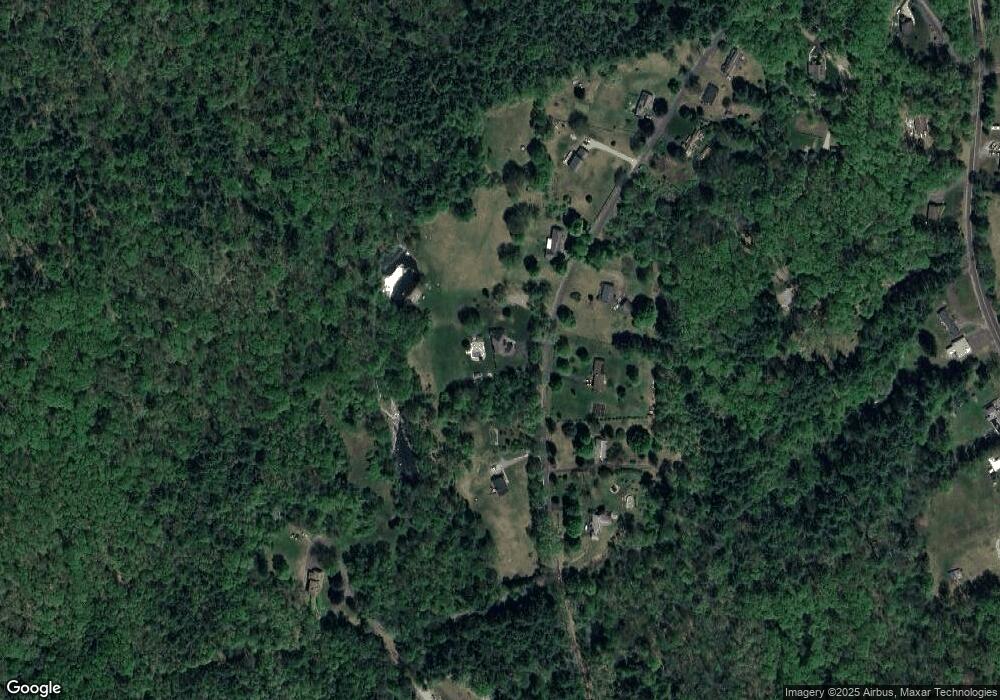
Map
Nearby Homes
- 375 Belchertown Rd
- 310 Palmer Rd
- 67 Babcock Tavern Rd
- Lot 16 Coldbrook Dr
- Lot 20 Coldbrook Dr
- Lot 22 Coldbrook Dr
- Lot 13 Coldbrook Dr
- Lot 25 Coldbrook Dr
- 201 West St
- 201 Belchertown Rd
- LOT 3 Monson Turnpike Rd
- 30 Warebrook Village
- 24 Clinton St
- 6 Winslow Rd
- 87 W Main St
- 248 Monson Turnpike Rd
- 0 Beach Rd
- 207 Monson Turnpike Rd
- 23 West St Unit 25
- 7 Webb Ct
Your Personal Tour Guide
Ask me questions while you tour the home.