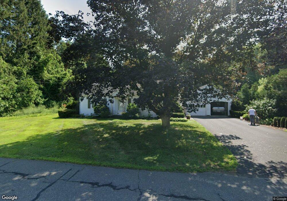
82 N Silver Ln Sunderland, MA 01375
Estimated Value: $377,890 - $420,000
4
Beds
2
Baths
1,456
Sq Ft
$273/Sq Ft
Est. Value
About This Home
This home is located at 82 N Silver Ln, Sunderland, MA 01375 and is currently estimated at $397,223, approximately $272 per square foot. 82 N Silver Ln is a home located in Franklin County with nearby schools including Sunderland Elementary School and Frontier Regional School.
Ownership History
Date
Name
Owned For
Owner Type
Purchase Details
Closed on
May 25, 2000
Sold by
Kowaleck Robert B
Bought by
Cowaleck James M and Kowaleck Annette E
Current Estimated Value
Home Financials for this Owner
Home Financials are based on the most recent Mortgage that was taken out on this home.
Original Mortgage
$80,000
Interest Rate
8.1%
Mortgage Type
Purchase Money Mortgage
Create a Home Valuation Report for This Property
The Home Valuation Report is an in-depth analysis detailing your home's value as well as a comparison with similar homes in the area
Home Values in the Area
Average Home Value in this Area
Purchase History
| Date | Buyer | Sale Price | Title Company |
|---|---|---|---|
| Cowaleck James M | $100,000 | -- |
Source: Public Records
Mortgage History
| Date | Status | Borrower | Loan Amount |
|---|---|---|---|
| Open | Cowaleck James M | $85,000 | |
| Closed | Cowaleck James M | $85,000 | |
| Closed | Cowaleck James M | $80,000 |
Source: Public Records
Tax History
| Year | Tax Paid | Tax Assessment Tax Assessment Total Assessment is a certain percentage of the fair market value that is determined by local assessors to be the total taxable value of land and additions on the property. | Land | Improvement |
|---|---|---|---|---|
| 2025 | $41 | $313,100 | $113,200 | $199,900 |
| 2024 | $4,114 | $313,100 | $113,200 | $199,900 |
| 2023 | $3,764 | $294,100 | $103,500 | $190,600 |
| 2022 | $3,793 | $258,000 | $89,000 | $169,000 |
| 2021 | $3,553 | $229,400 | $81,500 | $147,900 |
| 2020 | $3,545 | $229,600 | $81,500 | $148,100 |
| 2019 | $3,429 | $223,700 | $79,300 | $144,400 |
| 2018 | $3,284 | $218,900 | $74,500 | $144,400 |
| 2017 | $3,145 | $219,300 | $76,100 | $143,200 |
| 2016 | $3,199 | $218,200 | $74,400 | $143,800 |
| 2015 | $2,891 | $202,000 | $74,400 | $127,600 |
| 2014 | $2,824 | $202,000 | $74,400 | $127,600 |
Source: Public Records
Map
Nearby Homes
- 37 River Rd
- 14 Sugarloaf St
- 26 S Main St
- 18 Stage Rd
- 24 Elm St
- 0 Greenfield Rd Unit 73472322
- 0 Pocumtuck Dr Unit 73379330
- 355 Greenfield Rd
- 10 Depot Rd
- 90 Whately Rd
- 15 S Plain Rd
- 435 Montague Rd
- 13 Shattuck Rd
- 36 Swamp Rd
- 100 Depot Rd
- 101 Plain Rd
- 0 North St Unit 73407299
- 345 Greenfield Rd
- 113 Juggler Meadow Rd
- 8 Aloha Dr
- 86 N Silver Ln
- 79 N Silver Ln
- 76 N Silver Ln
- 87 N Silver Ln
- 73 N Silver Ln
- 70 N Silver Ln
- 88 N Silver Ln
- 67 N Silver Ln
- 93 N Silver Ln
- 64 N Silver Ln
- 99 N Silver Ln
- 61 N Silver Ln
- 9 Karen Dr
- 17 Sycamore Meadow Rd
- 16 Sycamore Meadow Rd
- 16 Sycamore Meadow Rd Unit 16
- 104 N Silver Ln
- 8 Karen Dr
- 8 Karen Dr Unit LOT 8
- 10 Karen Dr
Your Personal Tour Guide
Ask me questions while you tour the home.