Estimated Value: $506,559 - $561,000
3
Beds
2
Baths
2,398
Sq Ft
$225/Sq Ft
Est. Value
About This Home
This home is located at 82 Orchard Path Rd, Weare, NH 03281 and is currently estimated at $540,140, approximately $225 per square foot. 82 Orchard Path Rd is a home with nearby schools including Center Woods Elementary School, Weare Middle School, and John Stark Regional High School.
Ownership History
Date
Name
Owned For
Owner Type
Purchase Details
Closed on
Sep 29, 2004
Sold by
Rolon Emerito A and Rolon June T
Bought by
Cammack Matthew R and Cammack Michelle A
Current Estimated Value
Home Financials for this Owner
Home Financials are based on the most recent Mortgage that was taken out on this home.
Original Mortgage
$207,920
Interest Rate
5.81%
Mortgage Type
Purchase Money Mortgage
Create a Home Valuation Report for This Property
The Home Valuation Report is an in-depth analysis detailing your home's value as well as a comparison with similar homes in the area
Home Values in the Area
Average Home Value in this Area
Purchase History
| Date | Buyer | Sale Price | Title Company |
|---|---|---|---|
| Cammack Matthew R | $259,900 | -- |
Source: Public Records
Mortgage History
| Date | Status | Borrower | Loan Amount |
|---|---|---|---|
| Open | Cammack Matthew R | $186,150 | |
| Closed | Cammack Matthew R | $205,600 | |
| Closed | Cammack Matthew R | $207,920 |
Source: Public Records
Tax History Compared to Growth
Tax History
| Year | Tax Paid | Tax Assessment Tax Assessment Total Assessment is a certain percentage of the fair market value that is determined by local assessors to be the total taxable value of land and additions on the property. | Land | Improvement |
|---|---|---|---|---|
| 2024 | $7,803 | $382,700 | $125,300 | $257,400 |
| 2023 | $7,210 | $382,700 | $125,300 | $257,400 |
| 2022 | $6,659 | $382,700 | $125,300 | $257,400 |
| 2021 | $6,582 | $382,700 | $125,300 | $257,400 |
| 2020 | $4,447 | $265,600 | $90,000 | $175,600 |
| 2019 | $4,280 | $265,700 | $90,000 | $175,700 |
| 2018 | $6,119 | $265,700 | $90,000 | $175,700 |
| 2016 | $5,944 | $265,700 | $90,000 | $175,700 |
| 2015 | $5,880 | $262,400 | $88,500 | $173,900 |
| 2014 | $5,812 | $261,700 | $88,500 | $173,200 |
| 2013 | $5,692 | $261,700 | $88,500 | $173,200 |
Source: Public Records
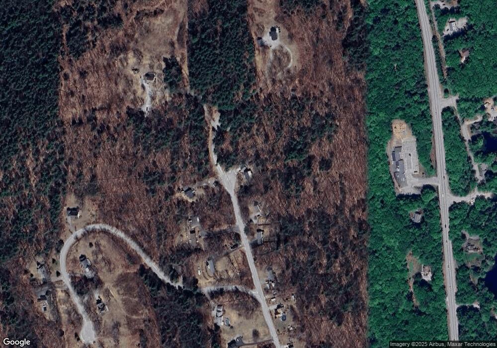
Map
Nearby Homes
- 10 Sap House Rd
- 196 Deering Center Rd
- 281 Hodgdon Rd
- 194 Buckley Rd Unit 2
- 194 Buckley Rd Unit 44
- 624 S Stark Hwy
- 0 Huntington Hill Rd Unit 69
- 103 Renshaw Rd
- 30 Dels Way
- 849 River Rd
- 92 Woodbury Rd
- 200 Mountain Rd
- 77 Gould Rd
- 179 Oak Hill Rd
- 107 Branch Rd
- 93 Daniels Rd
- 101-125 Winslow Rd
- 174 S Stark Hwy Unit 13
- 174 S Stark Hwy Unit 1
- 174 S Stark Hwy Unit 23
- 74 Orchard Path Rd
- 81 Orchard Path Rd
- 68 Orchard Path Rd
- 71 Orchard Path Rd
- 63 Orchard Path Rd
- 58 Orchard Path Rd
- 110 Orchard Path Rd
- 50 Orchard Path Rd
- 11 Wallingford Terrace
- 108 Orchard Path Rd
- 1111 S Stark Hwy
- 1111 S Stark Hwy
- 1111 S Stark Hwy Unit 6
- 1099 S Stark Hwy
- 48 Wallingford Terrace
- 40 Orchard Path Rd
- 55 Wallingford Terrace
- 67 Wallingford Terrace
- 1085 S Stark Hwy
- 37 Orchard Path Rd