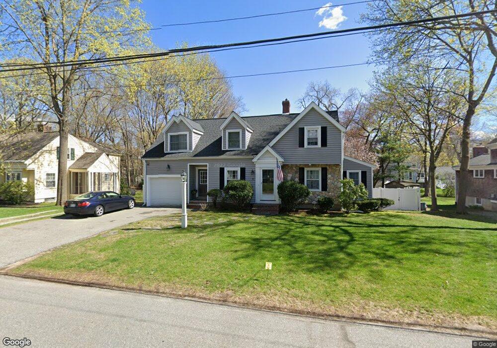
82 Scotland Rd Reading, MA 01867
Estimated Value: $1,043,103 - $1,115,000
3
Beds
2
Baths
2,170
Sq Ft
$496/Sq Ft
Est. Value
About This Home
This home is located at 82 Scotland Rd, Reading, MA 01867 and is currently estimated at $1,075,776, approximately $495 per square foot. 82 Scotland Rd is a home located in Middlesex County with nearby schools including Joshua Eaton Elementary School, Walter S. Parker Middle School, and Reading Memorial High School.
Ownership History
Date
Name
Owned For
Owner Type
Purchase Details
Closed on
Mar 17, 1992
Sold by
Burns Carl G and Burns Joan K
Bought by
Macaluso John J and Macaluso Patricia
Current Estimated Value
Purchase Details
Closed on
Dec 8, 1987
Sold by
Finlay Ronald J
Bought by
Burns Carl G
Create a Home Valuation Report for This Property
The Home Valuation Report is an in-depth analysis detailing your home's value as well as a comparison with similar homes in the area
Home Values in the Area
Average Home Value in this Area
Purchase History
| Date | Buyer | Sale Price | Title Company |
|---|---|---|---|
| Macaluso John J | $220,000 | -- | |
| Burns Carl G | $227,000 | -- |
Source: Public Records
Mortgage History
| Date | Status | Borrower | Loan Amount |
|---|---|---|---|
| Open | Burns Carl G | $310,000 | |
| Closed | Burns Carl G | $310,000 |
Source: Public Records
Tax History Compared to Growth
Tax History
| Year | Tax Paid | Tax Assessment Tax Assessment Total Assessment is a certain percentage of the fair market value that is determined by local assessors to be the total taxable value of land and additions on the property. | Land | Improvement |
|---|---|---|---|---|
| 2025 | $10,589 | $929,700 | $565,100 | $364,600 |
| 2024 | $10,718 | $914,500 | $555,900 | $358,600 |
| 2023 | $10,087 | $801,200 | $487,000 | $314,200 |
| 2022 | $10,075 | $755,800 | $459,400 | $296,400 |
| 2021 | $4,935 | $688,400 | $420,400 | $268,000 |
| 2020 | $3,892 | $654,500 | $399,700 | $254,800 |
| 2019 | $8,751 | $615,000 | $375,600 | $239,400 |
| 2018 | $8,225 | $593,000 | $351,500 | $241,500 |
| 2017 | $4,015 | $581,300 | $344,600 | $236,700 |
| 2016 | $8,155 | $562,400 | $340,200 | $222,200 |
| 2015 | $7,515 | $511,200 | $309,200 | $202,000 |
| 2014 | $7,535 | $511,200 | $309,200 | $202,000 |
Source: Public Records
Map
Nearby Homes
- 175 West St
- 57 Wescroft Rd
- 266 West St
- 101 King St Unit 101
- 133 Pine Ridge Rd
- 89 Walnut St
- 17 Palmer Hill Ave
- 16 Munroe Ave
- 5 Washington St Unit B2
- 16 Glen Rd
- 35 Park Ave
- 103 High St
- 24 Minot St
- 77 Mount Vernon St
- 237 Main St Unit A4
- 75 Border Rd
- 246 Walnut St
- 18 Talbot Ln Unit 18
- 75 Johnson Woods Dr Unit 75
- 16 Taylor Dr Unit 1010