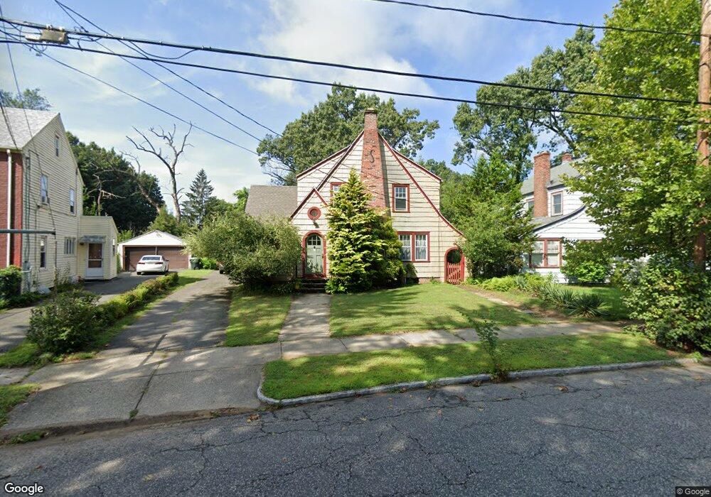
82 Wayne St Springfield, MA 01118
East Forest Park NeighborhoodEstimated Value: $322,822 - $333,000
3
Beds
2
Baths
1,697
Sq Ft
$194/Sq Ft
Est. Value
About This Home
This home is located at 82 Wayne St, Springfield, MA 01118 and is currently estimated at $328,706, approximately $193 per square foot. 82 Wayne St is a home located in Hampden County with nearby schools including Mary A. Dryden Veterans Memorial School, M Marcus Kiley Middle, and High School Of Commerce.
Ownership History
Date
Name
Owned For
Owner Type
Purchase Details
Closed on
Feb 6, 2020
Sold by
Stout Linda G
Bought by
Tavares Nicole D and Morro Michelle L
Current Estimated Value
Purchase Details
Closed on
Jun 10, 2004
Sold by
Francis Bonnie L and Francis John W
Bought by
Stout Linda G
Home Financials for this Owner
Home Financials are based on the most recent Mortgage that was taken out on this home.
Original Mortgage
$110,000
Interest Rate
5.99%
Mortgage Type
Purchase Money Mortgage
Create a Home Valuation Report for This Property
The Home Valuation Report is an in-depth analysis detailing your home's value as well as a comparison with similar homes in the area
Home Values in the Area
Average Home Value in this Area
Purchase History
| Date | Buyer | Sale Price | Title Company |
|---|---|---|---|
| Tavares Nicole D | -- | None Available | |
| Stout Linda G | $152,900 | -- |
Source: Public Records
Mortgage History
| Date | Status | Borrower | Loan Amount |
|---|---|---|---|
| Previous Owner | Stout Linda G | $110,000 |
Source: Public Records
Tax History
| Year | Tax Paid | Tax Assessment Tax Assessment Total Assessment is a certain percentage of the fair market value that is determined by local assessors to be the total taxable value of land and additions on the property. | Land | Improvement |
|---|---|---|---|---|
| 2025 | $5,104 | $325,500 | $31,100 | $294,400 |
| 2024 | $4,988 | $310,600 | $31,100 | $279,500 |
| 2023 | $4,725 | $274,500 | $28,300 | $246,200 |
| 2022 | $4,095 | $217,600 | $28,100 | $189,500 |
| 2021 | $4,048 | $214,200 | $25,500 | $188,700 |
| 2020 | $3,388 | $173,500 | $25,500 | $148,000 |
| 2019 | $3,477 | $176,700 | $25,500 | $151,200 |
| 2018 | $3,509 | $178,300 | $25,500 | $152,800 |
| 2017 | $3,319 | $168,800 | $25,500 | $143,300 |
| 2016 | $3,138 | $159,600 | $25,500 | $134,100 |
| 2015 | $3,269 | $166,200 | $25,500 | $140,700 |
Source: Public Records
Map
Nearby Homes
Your Personal Tour Guide
Ask me questions while you tour the home.