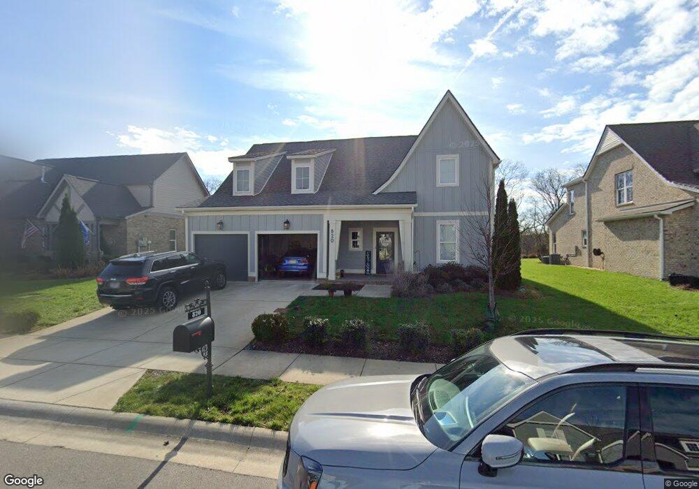
820 Plowson Rd Unit 641 Mt. Juliet, TN 37122
Estimated Value: $617,164 - $739,000
--
Bed
3
Baths
2,873
Sq Ft
$240/Sq Ft
Est. Value
About This Home
This home is located at 820 Plowson Rd Unit 641, Mt. Juliet, TN 37122 and is currently estimated at $689,791, approximately $240 per square foot. 820 Plowson Rd Unit 641 is a home located in Wilson County with nearby schools including Stoner Creek Elementary School, West Wilson Middle School, and Mt. Juliet High School.
Ownership History
Date
Name
Owned For
Owner Type
Purchase Details
Closed on
Oct 24, 2019
Sold by
Jackson Hills Partners Llc
Bought by
Keyes William Chandler and Keyes Jessica Laine Marie
Current Estimated Value
Home Financials for this Owner
Home Financials are based on the most recent Mortgage that was taken out on this home.
Original Mortgage
$345,000
Outstanding Balance
$303,463
Interest Rate
3.7%
Mortgage Type
New Conventional
Estimated Equity
$386,328
Purchase Details
Closed on
May 10, 2019
Sold by
Propst Realty Nashville Llc
Bought by
Jackson Hills Partners Llc and Stockton Partners Llc
Home Financials for this Owner
Home Financials are based on the most recent Mortgage that was taken out on this home.
Original Mortgage
$30,000,000
Interest Rate
4.1%
Mortgage Type
Credit Line Revolving
Create a Home Valuation Report for This Property
The Home Valuation Report is an in-depth analysis detailing your home's value as well as a comparison with similar homes in the area
Home Values in the Area
Average Home Value in this Area
Purchase History
| Date | Buyer | Sale Price | Title Company |
|---|---|---|---|
| Keyes William Chandler | $444,811 | Windmill Title Llc | |
| Jackson Hills Partners Llc | $212,000 | Windmill Title Llc |
Source: Public Records
Mortgage History
| Date | Status | Borrower | Loan Amount |
|---|---|---|---|
| Open | Keyes William Chandler | $345,000 | |
| Previous Owner | Jackson Hills Partners Llc | $30,000,000 |
Source: Public Records
Tax History Compared to Growth
Tax History
| Year | Tax Paid | Tax Assessment Tax Assessment Total Assessment is a certain percentage of the fair market value that is determined by local assessors to be the total taxable value of land and additions on the property. | Land | Improvement |
|---|---|---|---|---|
| 2024 | $1,925 | $100,850 | $20,000 | $80,850 |
| 2022 | $1,925 | $100,850 | $20,000 | $80,850 |
| 2021 | $2,036 | $100,850 | $20,000 | $80,850 |
| 2020 | $2,162 | $100,850 | $20,000 | $80,850 |
| 2019 | $0 | $16,725 | $16,250 | $475 |
Source: Public Records
Map
Nearby Homes
- 309 Croft Way
- 270 Croft Way
- 863 Plowson Rd
- 27 Yearling Way
- 243 Croft Way
- 247 Croft Way
- Weston Plan at Bradshaw Farms - Estates
- Ansley Plan at Bradshaw Farms - Estates
- Buchanan Plan at Bradshaw Farms - Estates
- Kingston Plan at Bradshaw Farms - Estates
- Ashford Plan at Bradshaw Farms - Estates
- 1012 Zane Dr
- 1010 Zane Dr
- 1019 Zane Dr
- 1014 Zane Dr
- 1015 Zane Dr
- 1018 Zane Dr
- 1022 Zane Dr
- 1101 Codah Dr
- 1100 Codah Dr
- 820 Plowson Rd
- 820 Plowson Rd
- 818 Plowson Rd
- 818 Plowson Rd Unit 642
- 822 Plowson Rd
- 821 Plowson Rd
- 816 Plowson Rd
- 824 Plowson Rd
- 819 Plowson Rd
- 825 Plowson Rd
- 825 Plowson Rd Unit 656
- 814 Plowson Rd
- 815 Plowson Rd
- 826 Plowson Rd
- 827 Plowson Rd
- 817 Plowson Road #648
- 812 Plowson Rd
- 828 Plowson Rd
- 813 Plowson Rd
- 68 Haystack Way