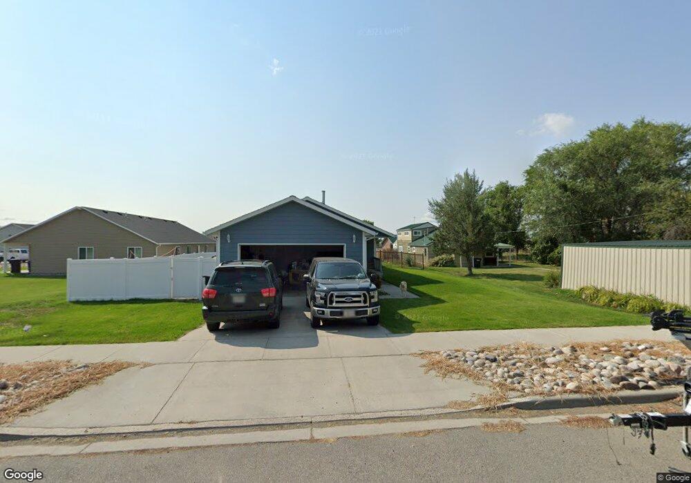
820 W 4th St Laurel, MT 59044
Estimated Value: $285,000 - $320,204
3
Beds
2
Baths
1,312
Sq Ft
$232/Sq Ft
Est. Value
About This Home
This home is located at 820 W 4th St, Laurel, MT 59044 and is currently estimated at $304,801, approximately $232 per square foot. 820 W 4th St is a home located in Yellowstone County with nearby schools including West School, Fred W. Graff School, and Laurel Middle School.
Ownership History
Date
Name
Owned For
Owner Type
Purchase Details
Closed on
Oct 14, 2022
Sold by
Brown Kaeley
Bought by
Brown Keeley
Current Estimated Value
Purchase Details
Closed on
Jan 4, 2021
Sold by
Key Properties Llp
Bought by
Rigney Kaeley Rose
Purchase Details
Closed on
Jan 22, 2009
Sold by
Key Properties Llp
Bought by
Capra John and Smith Megan
Home Financials for this Owner
Home Financials are based on the most recent Mortgage that was taken out on this home.
Original Mortgage
$135,156
Interest Rate
5.49%
Mortgage Type
Purchase Money Mortgage
Create a Home Valuation Report for This Property
The Home Valuation Report is an in-depth analysis detailing your home's value as well as a comparison with similar homes in the area
Home Values in the Area
Average Home Value in this Area
Purchase History
| Date | Buyer | Sale Price | Title Company |
|---|---|---|---|
| Brown Keeley | -- | Stewart Title | |
| Rigney Kaeley Rose | -- | Stewart Title | |
| Capra John | -- | None Available |
Source: Public Records
Mortgage History
| Date | Status | Borrower | Loan Amount |
|---|---|---|---|
| Previous Owner | Capra John | $135,156 |
Source: Public Records
Tax History
| Year | Tax Paid | Tax Assessment Tax Assessment Total Assessment is a certain percentage of the fair market value that is determined by local assessors to be the total taxable value of land and additions on the property. | Land | Improvement |
|---|---|---|---|---|
| 2025 | $2,528 | $299,300 | $35,996 | $263,304 |
| 2024 | $2,528 | $267,400 | $30,454 | $236,946 |
| 2023 | $2,323 | $267,400 | $30,454 | $236,946 |
| 2022 | $1,908 | $207,500 | $0 | $0 |
| 2021 | $1,925 | $207,500 | $0 | $0 |
| 2020 | $1,709 | $179,300 | $0 | $0 |
| 2019 | $1,683 | $179,300 | $0 | $0 |
| 2018 | $1,639 | $163,300 | $0 | $0 |
| 2017 | $1,520 | $163,300 | $0 | $0 |
| 2016 | $1,468 | $158,400 | $0 | $0 |
| 2015 | $1,451 | $158,400 | $0 | $0 |
| 2014 | $1,417 | $81,408 | $0 | $0 |
Source: Public Records
Map
Nearby Homes
- 310 (and 814 w 4) 8th Ave
- 102 8th Ave Unit B
- 116 4th Ave
- 120 Forrest Ave
- 208 West Ave
- 110 E 5th St
- 1109 10th Ave
- 211 Woodland Ave
- TBD Block 3 Lot 9
- TBD Block 1 Lot 3
- 1014 Rochelle Ln
- TBD Block 3 Lot 6
- 419 Durland Ave
- 1013 W 12th St
- 516 Pennsylvania Ave
- 1003 Montana Ave
- 601 E 5th St
- 109 E 12th St
- 1712 Paynes Place
- 717 E 5th St
Your Personal Tour Guide
Ask me questions while you tour the home.