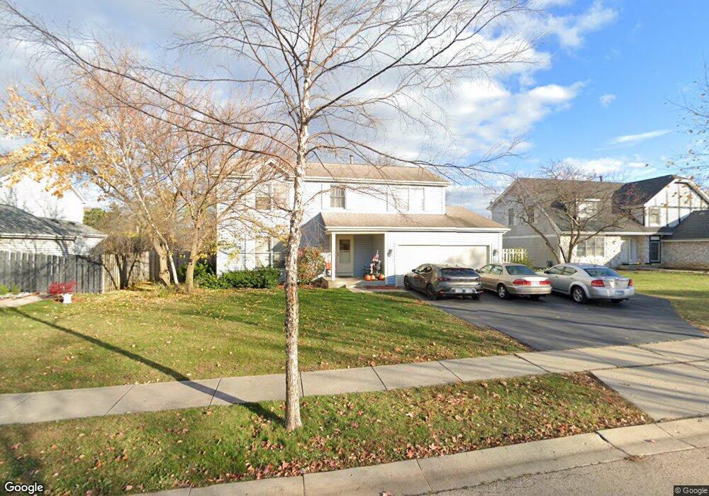
821 Mayfair Ln Algonquin, IL 60102
High Hill Farms NeighborhoodEstimated Value: $364,946 - $460,000
4
Beds
3
Baths
2,217
Sq Ft
$188/Sq Ft
Est. Value
About This Home
This home is located at 821 Mayfair Ln, Algonquin, IL 60102 and is currently estimated at $417,237, approximately $188 per square foot. 821 Mayfair Ln is a home located in McHenry County with nearby schools including Westfield Community School, Kenneth E Neubert Elementary School, and United Junior High School.
Ownership History
Date
Name
Owned For
Owner Type
Purchase Details
Closed on
Aug 18, 2000
Sold by
Cook Joseph A and Cook Kathy A
Bought by
Knoff James A and Knoff Sharon S
Current Estimated Value
Home Financials for this Owner
Home Financials are based on the most recent Mortgage that was taken out on this home.
Original Mortgage
$60,000
Interest Rate
7.91%
Create a Home Valuation Report for This Property
The Home Valuation Report is an in-depth analysis detailing your home's value as well as a comparison with similar homes in the area
Home Values in the Area
Average Home Value in this Area
Purchase History
| Date | Buyer | Sale Price | Title Company |
|---|---|---|---|
| Knoff James A | $216,500 | Stewart Title Company |
Source: Public Records
Mortgage History
| Date | Status | Borrower | Loan Amount |
|---|---|---|---|
| Previous Owner | Knoff James A | $60,000 |
Source: Public Records
Tax History Compared to Growth
Tax History
| Year | Tax Paid | Tax Assessment Tax Assessment Total Assessment is a certain percentage of the fair market value that is determined by local assessors to be the total taxable value of land and additions on the property. | Land | Improvement |
|---|---|---|---|---|
| 2024 | $7,672 | $114,073 | $23,426 | $90,647 |
| 2023 | $7,201 | $102,024 | $20,952 | $81,072 |
| 2022 | $7,950 | $103,697 | $21,044 | $82,653 |
| 2021 | $7,596 | $96,606 | $19,605 | $77,001 |
| 2020 | $7,380 | $93,186 | $18,911 | $74,275 |
| 2019 | $7,180 | $89,190 | $18,100 | $71,090 |
| 2018 | $6,805 | $82,393 | $16,721 | $65,672 |
| 2017 | $6,634 | $77,619 | $15,752 | $61,867 |
| 2016 | $6,499 | $72,800 | $14,774 | $58,026 |
| 2013 | -- | $72,036 | $13,783 | $58,253 |
Source: Public Records
Map
Nearby Homes
- 700 Fairfield Ln
- 1820 Crofton Dr
- 1 N Hubbard St
- SWC Talaga and Algonquin Rd
- 1235 Fairmont Ct
- 741 Regal Ln
- 661 Majestic Dr
- 721 Brentwood Ct
- 266 Grandview Ct
- 2235 Dawson Ln
- 305 Buckingham Dr
- 16 Brian Ct
- 135 Arquilla Dr
- 909 Roger St
- 2161 Burnham Ct
- 1971 Peach Tree Ln
- 2043 Peach Tree Ln Unit 4122
- 710 Sprucetree Ln
- Lots 10 & 11 Ramble Rd
- 000 County Line Rd
- 831 Mayfair Ln
- 811 Mayfair Ln
- 841 Mayfair Ln
- 801 Mayfair Ln
- 820 Mayfair Ln
- 830 Mayfair Ln
- 810 Mayfair Ln
- 642 W Surrey Ln
- 840 Mayfair Ln Unit 8
- 851 Mayfair Ln
- 632 W Surrey Ln
- 800 Mayfair Ln
- 652 W Surrey Ln
- 622 W Surrey Ln Unit 5
- 850 Mayfair Ln
- 821 Roaring Brook Ln
- 831 Roaring Brook Ln
- 740 Mayfair Ln
- 662 W Surrey Ln
- 751 Mayfair Ln