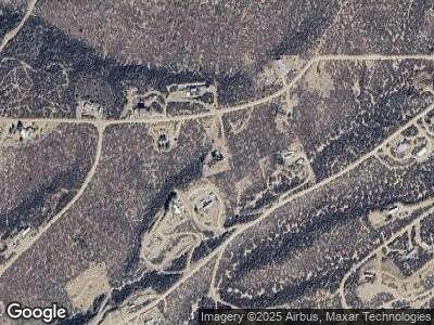
8215 W Webster Rd Unit 2 Kirkland, AZ 86332
Wilhoit NeighborhoodEstimated Value: $229,000 - $284,000
1
Bed
2
Baths
1,137
Sq Ft
$231/Sq Ft
Est. Value
About This Home
This home is located at 8215 W Webster Rd Unit 2, Kirkland, AZ 86332 and is currently estimated at $262,784, approximately $231 per square foot. 8215 W Webster Rd Unit 2 is a home located in Yavapai County with nearby schools including Kirkland Elementary School.
Ownership History
Date
Name
Owned For
Owner Type
Purchase Details
Closed on
Aug 8, 2011
Sold by
U S Bank National Association
Bought by
Hamarr William E and Hamarr Roberta J
Current Estimated Value
Home Financials for this Owner
Home Financials are based on the most recent Mortgage that was taken out on this home.
Original Mortgage
$65,203
Interest Rate
4.5%
Mortgage Type
FHA
Purchase Details
Closed on
May 13, 2011
Sold by
Luchansky Scott
Bought by
U S Bank National Association
Create a Home Valuation Report for This Property
The Home Valuation Report is an in-depth analysis detailing your home's value as well as a comparison with similar homes in the area
Home Values in the Area
Average Home Value in this Area
Purchase History
| Date | Buyer | Sale Price | Title Company |
|---|---|---|---|
| Hamarr William E | $66,900 | Lawyers Title Of Arizona Inc | |
| U S Bank National Association | $53,592 | First American Title Ins Co |
Source: Public Records
Mortgage History
| Date | Status | Borrower | Loan Amount |
|---|---|---|---|
| Open | Hamarr William E | $50,000 | |
| Previous Owner | Hamarr William E | $65,203 | |
| Previous Owner | Luchansky Scott | $123,700 | |
| Previous Owner | Luchansky Scott | $80,700 |
Source: Public Records
Tax History Compared to Growth
Tax History
| Year | Tax Paid | Tax Assessment Tax Assessment Total Assessment is a certain percentage of the fair market value that is determined by local assessors to be the total taxable value of land and additions on the property. | Land | Improvement |
|---|---|---|---|---|
| 2026 | $742 | $24,010 | -- | -- |
| 2024 | $774 | $25,333 | -- | -- |
| 2023 | $774 | $20,302 | $0 | $0 |
| 2022 | $693 | $16,236 | $1,523 | $14,713 |
| 2021 | $713 | $13,950 | $1,260 | $12,690 |
| 2020 | $692 | $0 | $0 | $0 |
| 2019 | $677 | $0 | $0 | $0 |
| 2018 | $635 | $0 | $0 | $0 |
| 2017 | $613 | $0 | $0 | $0 |
| 2016 | $584 | $0 | $0 | $0 |
| 2015 | $570 | $0 | $0 | $0 |
| 2014 | $596 | $0 | $0 | $0 |
Source: Public Records
Map
Nearby Homes
- 8360 W Webster Rd
- 8040 W Putnam Rd
- 8040 W Putnam Rd Unit 182
- 7950 W Putnam Rd
- 7950 W Putnam Rd Unit 181
- 8420 W Webster Rd
- 7620 S Dover Dr
- 7750 W Shelburne Rd
- 7795 W Putnam Rd
- 7980 W Red Rock Rd
- 8480 W Shelburne Rd
- 7645 W Lowell Dr
- 8145 S Donegal Dr
- 7530 W Lowell Dr Unit 190
- 7990 S Bristol Blvd Unit 127
- 7990 S Bristol Blvd
- 8125 W Hampton Rd
- 8330 Mather Rd
- 7285 W Wicklow Ln
- 8420 S Highway 89
