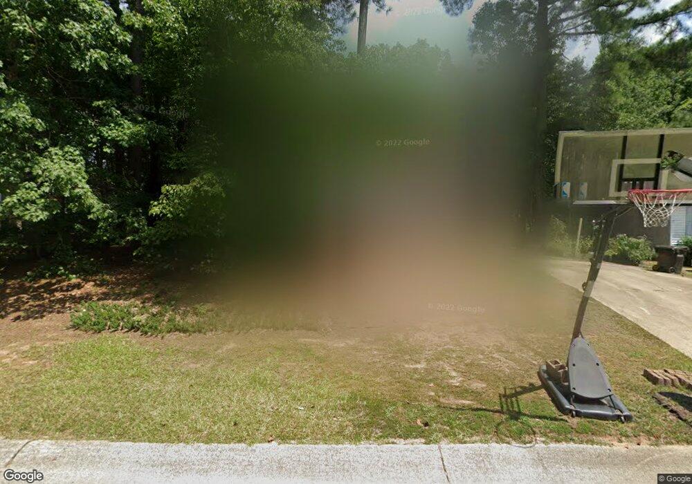
822 Riverbark Ln Durham, NC 27703
Eastern Durham NeighborhoodEstimated Value: $282,000 - $307,000
3
Beds
2
Baths
1,152
Sq Ft
$256/Sq Ft
Est. Value
About This Home
This home is located at 822 Riverbark Ln, Durham, NC 27703 and is currently estimated at $294,545, approximately $255 per square foot. 822 Riverbark Ln is a home located in Durham County with nearby schools including Bethesda Elementary School, John W Neal Middle School, and Southern School of Energy & Sustainability.
Ownership History
Date
Name
Owned For
Owner Type
Purchase Details
Closed on
Aug 21, 2014
Sold by
Simmons Michele and Lewis Michele S
Bought by
Simmons Michele
Current Estimated Value
Home Financials for this Owner
Home Financials are based on the most recent Mortgage that was taken out on this home.
Original Mortgage
$92,800
Interest Rate
4.15%
Mortgage Type
New Conventional
Create a Home Valuation Report for This Property
The Home Valuation Report is an in-depth analysis detailing your home's value as well as a comparison with similar homes in the area
Home Values in the Area
Average Home Value in this Area
Purchase History
| Date | Buyer | Sale Price | Title Company |
|---|---|---|---|
| Simmons Michele | -- | First American Title Ins Co |
Source: Public Records
Mortgage History
| Date | Status | Borrower | Loan Amount |
|---|---|---|---|
| Closed | Simmons Michele | $92,800 |
Source: Public Records
Tax History Compared to Growth
Tax History
| Year | Tax Paid | Tax Assessment Tax Assessment Total Assessment is a certain percentage of the fair market value that is determined by local assessors to be the total taxable value of land and additions on the property. | Land | Improvement |
|---|---|---|---|---|
| 2025 | $2,637 | $266,036 | $83,300 | $182,736 |
| 2024 | $2,294 | $164,491 | $35,820 | $128,671 |
| 2023 | $2,155 | $164,491 | $35,820 | $128,671 |
| 2022 | $2,105 | $164,491 | $35,820 | $128,671 |
| 2021 | $2,095 | $164,491 | $35,820 | $128,671 |
| 2020 | $2,046 | $164,491 | $35,820 | $128,671 |
| 2019 | $2,046 | $164,491 | $35,820 | $128,671 |
| 2018 | $1,621 | $119,491 | $20,895 | $98,596 |
| 2017 | $1,609 | $119,491 | $20,895 | $98,596 |
| 2016 | $1,555 | $119,491 | $20,895 | $98,596 |
| 2015 | $1,688 | $121,963 | $22,942 | $99,021 |
| 2014 | $1,688 | $121,963 | $22,942 | $99,021 |
Source: Public Records
Map
Nearby Homes
- 3533 Gibson Rd
- 3330 Nantuckett Ave
- 3323 Nantuckett Ave
- 3503 Grimes Ave
- 506 Currin St
- 802 Lynn Rd
- 102 Harvest Oaks Ln Unit 38
- 210 Stoney Creek Cir
- 806 Kendall Dr
- 650 Ganyard Farm Way Unit 6
- 650 Ganyard Farm Way Unit 5
- 1015 Sora Way
- 1218 Kendall Dr
- 806 Lindley Dr
- 308 Lynn Rd
- 2072 Tanners Mill Dr
- 428 Walton St
- 1006 Spacious Skies Ln
- 2036 October Dr
- 1525 S Mineral Springs Rd
- 820 Riverbark Ln
- 824 Riverbark Ln
- 908 Riverbark Ln
- 906 Riverbark Ln
- 912 Riverbark Ln
- 818 Riverbark Ln
- 830 Riverbark Ln
- 902 Riverbark Ln
- 821 Riverbark Ln
- 819 Riverbark Ln
- 823 Riverbark Ln
- 916 Riverbark Ln
- 816 Riverbark Ln
- 900 Riverbark Ln
- 827 Riverbark Ln
- 918 Riverbark Ln
- 909 Riverbark Ln
- 911 Riverbark Ln
- 812 Riverbark Ln
- 905 Riverbark Ln