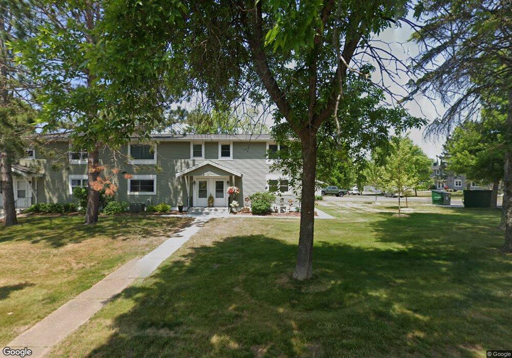
823 Hamilton Dr Unit 29D Duluth, MN 55811
Kenwood NeighborhoodEstimated Value: $220,000 - $264,000
3
Beds
2
Baths
1,728
Sq Ft
$142/Sq Ft
Est. Value
About This Home
This home is located at 823 Hamilton Dr Unit 29D, Duluth, MN 55811 and is currently estimated at $244,565, approximately $141 per square foot. 823 Hamilton Dr Unit 29D is a home located in St. Louis County with nearby schools including Lowell Elementary School, Lincoln Park Middle School, and Denfeld High School.
Ownership History
Date
Name
Owned For
Owner Type
Purchase Details
Closed on
Sep 13, 2022
Sold by
Kohn Sandra Kay
Bought by
Kohn Sandra Kay and Kohn Jason Jeremy
Current Estimated Value
Purchase Details
Closed on
Mar 30, 2007
Sold by
Bergman Ken and Bergman Rachel
Bought by
Kohn Sandra
Purchase Details
Closed on
Aug 1, 2002
Sold by
Flokstra Gerald F
Bought by
Granmoe Rachel
Home Financials for this Owner
Home Financials are based on the most recent Mortgage that was taken out on this home.
Original Mortgage
$97,850
Interest Rate
6.56%
Create a Home Valuation Report for This Property
The Home Valuation Report is an in-depth analysis detailing your home's value as well as a comparison with similar homes in the area
Home Values in the Area
Average Home Value in this Area
Purchase History
| Date | Buyer | Sale Price | Title Company |
|---|---|---|---|
| Kohn Sandra Kay | -- | None Listed On Document | |
| Kohn Sandra | $128,030 | Pioneer Abstract & Title Of | |
| Granmoe Rachel | $103,000 | Consolidated Title |
Source: Public Records
Mortgage History
| Date | Status | Borrower | Loan Amount |
|---|---|---|---|
| Previous Owner | Granmoe Rachel | $97,850 |
Source: Public Records
Tax History
| Year | Tax Paid | Tax Assessment Tax Assessment Total Assessment is a certain percentage of the fair market value that is determined by local assessors to be the total taxable value of land and additions on the property. | Land | Improvement |
|---|---|---|---|---|
| 2024 | $2,954 | $237,000 | $22,000 | $215,000 |
| 2023 | $2,954 | $217,300 | $22,000 | $195,300 |
| 2022 | $2,030 | $184,000 | $21,300 | $162,700 |
| 2021 | $1,962 | $143,800 | $20,500 | $123,300 |
| 2020 | $1,766 | $142,100 | $20,500 | $121,600 |
| 2019 | $1,596 | $128,400 | $18,400 | $110,000 |
| 2018 | $1,484 | $119,100 | $18,000 | $101,100 |
| 2017 | $1,472 | $119,100 | $18,000 | $101,100 |
| 2016 | $1,440 | $118,300 | $18,000 | $100,300 |
| 2015 | $1,404 | $87,700 | $13,300 | $74,400 |
| 2014 | $1,404 | $87,700 | $13,300 | $74,400 |
Source: Public Records
Map
Nearby Homes
- 1944 Chinook Dr
- 714 Creekside Cir
- 2360 Apple Ridge Dr
- 1802 Rice Lake Rd
- 1804 Rice Lake Rd
- 1145 Como Ave Unit 1
- 205 Bluff's Ridge Ct
- 29 W Ideal St
- 35 W Ideal St
- 20xx Stanford Ave
- 1715 Dodge Ave
- 2718 Northridge Dr
- 1030 Missouri Ave
- 817 Maple Bend Dr
- XXX E 13th St
- 1950 Middle Ln
- 616 Maple Bend Dr
- 701 E 11th St
- 1722 North Rd
- 706 E 11th St
- 708 Bong Blvd
- 821 Hamilton Dr Unit 29C
- 819 Hamilton Dr Unit 29B
- 706 Bong Blvd
- 817 Hamilton Dr
- 704 Bong Blvd Unit 36C
- 707 Bong Blvd Unit 37D
- 702 Bong Blvd
- 705 Bong Blvd Unit 37C
- 705 705 Bong Blvd
- 709 Bong Blvd Unit 28A
- 703 Bong Blvd
- 701 Bong Blvd Unit 37A
- 711 Bong Blvd Unit 28B
- 815 Hamilton Dr
- 713 Bong Blvd Unit 28C
- 832 Hamilton Dr Unit 31A
- 813 Hamilton Dr Unit 30C
- 830 Hamilton Dr Unit 31B
- 606 Selfridge Dr
Your Personal Tour Guide
Ask me questions while you tour the home.