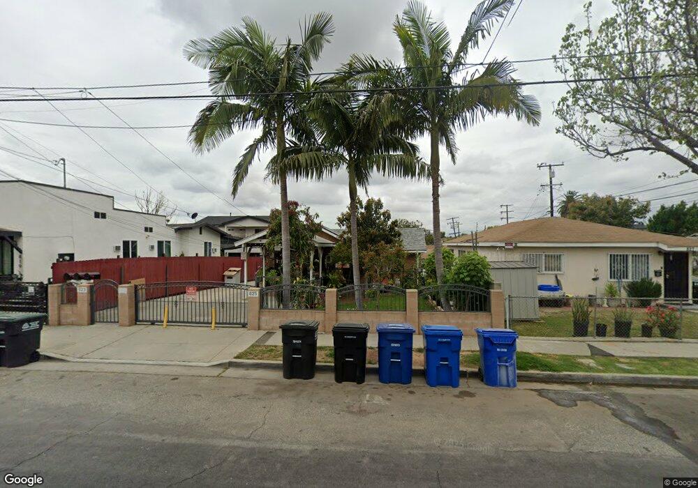
823 N Rowan Ave Los Angeles, CA 90063
Estimated Value: $804,000 - $1,060,000
7
Beds
4
Baths
2,519
Sq Ft
$355/Sq Ft
Est. Value
About This Home
This home is located at 823 N Rowan Ave, Los Angeles, CA 90063 and is currently estimated at $893,347, approximately $354 per square foot. 823 N Rowan Ave is a home located in Los Angeles County with nearby schools including Malabar Street Elementary School, Belvedere Middle School, and Engineering And Technology Academy At Esteban E. Torres High No. 3.
Ownership History
Date
Name
Owned For
Owner Type
Purchase Details
Closed on
Mar 21, 1995
Sold by
Reyes Mariano and Reyes Celia
Bought by
Barboza Gerardo and Barboza Olicarda
Current Estimated Value
Home Financials for this Owner
Home Financials are based on the most recent Mortgage that was taken out on this home.
Original Mortgage
$122,550
Interest Rate
7.88%
Create a Home Valuation Report for This Property
The Home Valuation Report is an in-depth analysis detailing your home's value as well as a comparison with similar homes in the area
Home Values in the Area
Average Home Value in this Area
Purchase History
| Date | Buyer | Sale Price | Title Company |
|---|---|---|---|
| Barboza Gerardo | $129,000 | Southland Title |
Source: Public Records
Mortgage History
| Date | Status | Borrower | Loan Amount |
|---|---|---|---|
| Previous Owner | Barboza Gerardo | $122,550 |
Source: Public Records
Tax History Compared to Growth
Tax History
| Year | Tax Paid | Tax Assessment Tax Assessment Total Assessment is a certain percentage of the fair market value that is determined by local assessors to be the total taxable value of land and additions on the property. | Land | Improvement |
|---|---|---|---|---|
| 2025 | $5,292 | $417,731 | $150,991 | $266,740 |
| 2024 | $5,292 | $328,278 | $148,031 | $180,247 |
| 2023 | $5,038 | $321,842 | $145,129 | $176,713 |
| 2022 | $4,717 | $315,533 | $142,284 | $173,249 |
| 2021 | $4,658 | $309,347 | $139,495 | $169,852 |
| 2020 | $4,685 | $306,176 | $138,065 | $168,111 |
| 2019 | $4,527 | $300,173 | $135,358 | $164,815 |
| 2018 | $4,386 | $294,288 | $132,704 | $161,584 |
| 2016 | $4,197 | $282,861 | $127,551 | $155,310 |
| 2015 | $4,137 | $278,614 | $125,636 | $152,978 |
| 2014 | $4,140 | $273,157 | $123,175 | $149,982 |
Source: Public Records
Map
Nearby Homes
- 0 Hayes St Unit OC25245509
- 0 Hayes St Unit OC25244450
- 0 Hayes St Unit MB25148682
- 929 N Rowan Ave
- 0 De Garmo Dr Unit 25556247
- 3258 -3260 Gleason
- 3909 Dobinson St
- 4241 City Terrace
- 0 Cor 147th Ste Ave R2 Unit SR25148814
- 961 N Rowan Ave
- 924 N Gage Ave
- 1000 N Gage Ave
- 952 N Gage Ave
- 905 N Hicks Ave
- 1024 N Gage Ave
- 836 N Alma Ave
- 1087 S Rowan Ave
- 1080 N Eastman Ave
- 731 N Record Dr
- 3225 Winter St
- 3540 Blanchard St
- 3524 Blanchard St
- 819 N Rowan Ave
- 815 N Rowan Ave
- 3518 Blanchard St
- 901 N Rowan Ave
- 3541 Winter St
- 3514 Blanchard St
- 3537 Winter St
- 3547 Winter St
- 3525 Blanchard St
- 828 N Townsend Ave
- 3519 Blanchard St
- 3531 Winter St
- 911 N Rowan Ave
- 3510 Blanchard St
- 826 N Rowan Ave
- 822 N Townsend Ave
- 822 N Rowan Ave
- 3525 Winter St