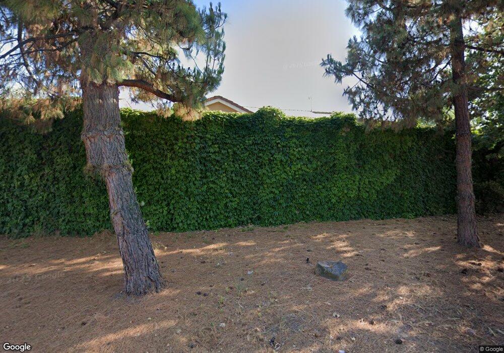
824 Cameron Cir Milpitas, CA 95035
Estimated Value: $1,395,000 - $2,121,000
5
Beds
3
Baths
2,304
Sq Ft
$773/Sq Ft
Est. Value
About This Home
This home is located at 824 Cameron Cir, Milpitas, CA 95035 and is currently estimated at $1,780,515, approximately $772 per square foot. 824 Cameron Cir is a home located in Santa Clara County with nearby schools including Robert Randall Elementary School, Alexander Rose Elementary School, and Rancho Milpitas Middle School.
Ownership History
Date
Name
Owned For
Owner Type
Purchase Details
Closed on
Mar 22, 2023
Sold by
Dela Cruz Dale E and Dela Jeanette M
Bought by
Dale And Jeanette Dela Cruz Living Trust and Dela Cruz
Current Estimated Value
Purchase Details
Closed on
Mar 30, 2005
Sold by
Mayo Ray A and Mayo Filipina C
Bought by
Dela Cruz Dale E and Dela Cruz Jeanette M
Home Financials for this Owner
Home Financials are based on the most recent Mortgage that was taken out on this home.
Original Mortgage
$460,000
Interest Rate
5.25%
Mortgage Type
Fannie Mae Freddie Mac
Purchase Details
Closed on
Jan 26, 2005
Sold by
Mayo Amor C
Bought by
Mayo Ray A and Mayo Filipina C
Home Financials for this Owner
Home Financials are based on the most recent Mortgage that was taken out on this home.
Original Mortgage
$540,000
Interest Rate
5.25%
Mortgage Type
Purchase Money Mortgage
Purchase Details
Closed on
May 10, 1999
Sold by
Mission Peak Homes Inc
Bought by
Mayo Ray A and Mayo Filipina C
Home Financials for this Owner
Home Financials are based on the most recent Mortgage that was taken out on this home.
Original Mortgage
$350,000
Interest Rate
7.01%
Create a Home Valuation Report for This Property
The Home Valuation Report is an in-depth analysis detailing your home's value as well as a comparison with similar homes in the area
Home Values in the Area
Average Home Value in this Area
Purchase History
| Date | Buyer | Sale Price | Title Company |
|---|---|---|---|
| Dale And Jeanette Dela Cruz Living Trust | -- | None Listed On Document | |
| Dela Cruz Dale E | $575,000 | Ticor Title Company | |
| Mayo Ray A | $270,000 | Commonwealth Land Title | |
| Mayo Ray A | $440,000 | First American Title Guarant |
Source: Public Records
Mortgage History
| Date | Status | Borrower | Loan Amount |
|---|---|---|---|
| Previous Owner | Dela Cruz Dale E | $460,000 | |
| Previous Owner | Mayo Ray A | $540,000 | |
| Previous Owner | Mayo Ray A | $350,000 | |
| Closed | Dela Cruz Dale E | $57,500 |
Source: Public Records
Tax History
| Year | Tax Paid | Tax Assessment Tax Assessment Total Assessment is a certain percentage of the fair market value that is determined by local assessors to be the total taxable value of land and additions on the property. | Land | Improvement |
|---|---|---|---|---|
| 2025 | $8,531 | $689,301 | $282,179 | $407,122 |
| 2024 | $8,531 | $675,787 | $276,647 | $399,140 |
| 2023 | $8,484 | $662,537 | $271,223 | $391,314 |
| 2022 | $8,430 | $649,547 | $265,905 | $383,642 |
| 2021 | $8,317 | $636,812 | $260,692 | $376,120 |
| 2020 | $8,155 | $630,283 | $258,019 | $372,264 |
| 2019 | $8,050 | $617,925 | $252,960 | $364,965 |
| 2018 | $7,649 | $605,809 | $248,000 | $357,809 |
| 2017 | $7,541 | $593,932 | $243,138 | $350,794 |
| 2016 | $7,239 | $582,287 | $238,371 | $343,916 |
| 2015 | $7,159 | $573,542 | $234,791 | $338,751 |
| 2014 | $6,961 | $562,308 | $230,192 | $332,116 |
Source: Public Records
Map
Nearby Homes
- 808 Cameron Cir
- 496 Dempsey Rd Unit 199
- 484 Dempsey Rd Unit 186
- 397 S Park Victoria Dr
- 70 Fanyon St
- 258 Lynn Ave
- 533 Ramos Ct
- 0 Railroad Ave
- 25 Terfidia Ln
- 122 Poppy Ct
- 685 Parvin Dr
- 997 Courtland Ct
- 650 Folsom Cir
- 1490 Mount Diablo Ave
- 7280 Marylinn Dr
- Sana Plan at
- Myra Plan at
- Sana Elite Plan at
- 1000 Jacklin Rd
- 102 Marylinn Dr
