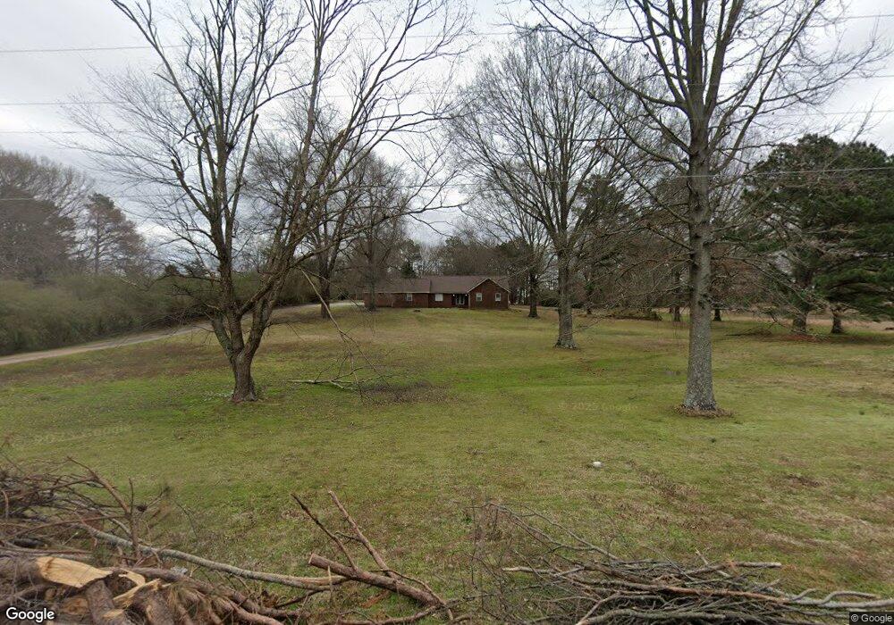
8240 Jill St Olive Branch, MS 38654
Pleasant Hill NeighborhoodEstimated Value: $322,635 - $472,000
3
Beds
2
Baths
2,100
Sq Ft
$186/Sq Ft
Est. Value
About This Home
This home is located at 8240 Jill St, Olive Branch, MS 38654 and is currently estimated at $391,159, approximately $186 per square foot. 8240 Jill St is a home located in DeSoto County with nearby schools including Pleasant Hill Elementary School, DeSoto Central Middle School, and DeSoto Central High School.
Ownership History
Date
Name
Owned For
Owner Type
Purchase Details
Closed on
Jul 17, 2015
Sold by
Bennett Lynette and Bennett Christopher P
Bought by
Sanders Michael and Sanders Shannon
Current Estimated Value
Home Financials for this Owner
Home Financials are based on the most recent Mortgage that was taken out on this home.
Original Mortgage
$267,073
Outstanding Balance
$208,108
Interest Rate
4.08%
Mortgage Type
FHA
Estimated Equity
$183,051
Purchase Details
Closed on
Oct 19, 2009
Sold by
Bennett Lynette
Bought by
Bennett Lynette and Bennett Christopher P
Create a Home Valuation Report for This Property
The Home Valuation Report is an in-depth analysis detailing your home's value as well as a comparison with similar homes in the area
Home Values in the Area
Average Home Value in this Area
Purchase History
| Date | Buyer | Sale Price | Title Company |
|---|---|---|---|
| Sanders Michael | -- | None Available | |
| Bennett Lynette | -- | None Available |
Source: Public Records
Mortgage History
| Date | Status | Borrower | Loan Amount |
|---|---|---|---|
| Open | Sanders Michael | $267,073 |
Source: Public Records
Tax History Compared to Growth
Tax History
| Year | Tax Paid | Tax Assessment Tax Assessment Total Assessment is a certain percentage of the fair market value that is determined by local assessors to be the total taxable value of land and additions on the property. | Land | Improvement |
|---|---|---|---|---|
| 2025 | $3,041 | $22,284 | $3,000 | $19,284 |
| 2024 | $1,876 | $15,945 | $3,000 | $12,945 |
| 2023 | $1,876 | $15,945 | $0 | $0 |
| 2022 | $1,876 | $15,945 | $3,000 | $12,945 |
| 2021 | $1,876 | $15,945 | $3,000 | $12,945 |
| 2020 | $1,735 | $14,910 | $3,000 | $11,910 |
| 2019 | $1,735 | $14,910 | $3,000 | $11,910 |
| 2017 | $1,710 | $26,300 | $14,650 | $11,650 |
| 2016 | $1,710 | $14,650 | $3,000 | $11,650 |
| 2015 | $2,010 | $26,300 | $14,650 | $11,650 |
| 2014 | $1,710 | $14,650 | $0 | $0 |
| 2013 | $1,666 | $14,650 | $0 | $0 |
Source: Public Records
Map
Nearby Homes
- 4431 Mary Jane Dr
- 4350 Abele Cove
- 4335 Davall Cir
- 4798 Shinault Ln
- 8605 Birnham Cove
- 4990 Witt Cove
- Bristol Plan at Villages at Southbranch
- Lacombe Plan at Villages at Southbranch
- Cameron Plan at Villages at Southbranch
- Covington Plan at Villages at Southbranch
- CLIFTON Plan at Villages at Southbranch
- Denham Plan at Villages at Southbranch
- Dover Plan at Villages at Southbranch
- 4703 Hillsdale Dr
- 8146 Wisteria Dr
- 4602 Pleasant Breeze Dr
- 7357 Stone Garden Dr
- 7294 Wind Dr
- 7338 Sunstone Dr
- 5287 Borden Creek Dr
- 8240 Jill Dr
- 8286 Jill Dr
- 8190 Jill Dr
- 8245 Ashley Dr
- 8235 Jill Dr
- 8275 Ashley Dr
- 4437 Davis Grove Blvd
- 8215 Ashley Dr
- 4415 Davis Grove Blvd
- 4459 Davis Grove Blvd
- 8281 Jill St
- 8281 Jill Dr
- 29 Ashley Dr
- 28 Ashley Dr
- 27 Ashley Dr
- 26 Ashley Dr
- 4481 Davis Grove Blvd
- 4460 Mary Jane Dr
- 4393 Davis Grove Blvd
- 8175 Ashley Dr