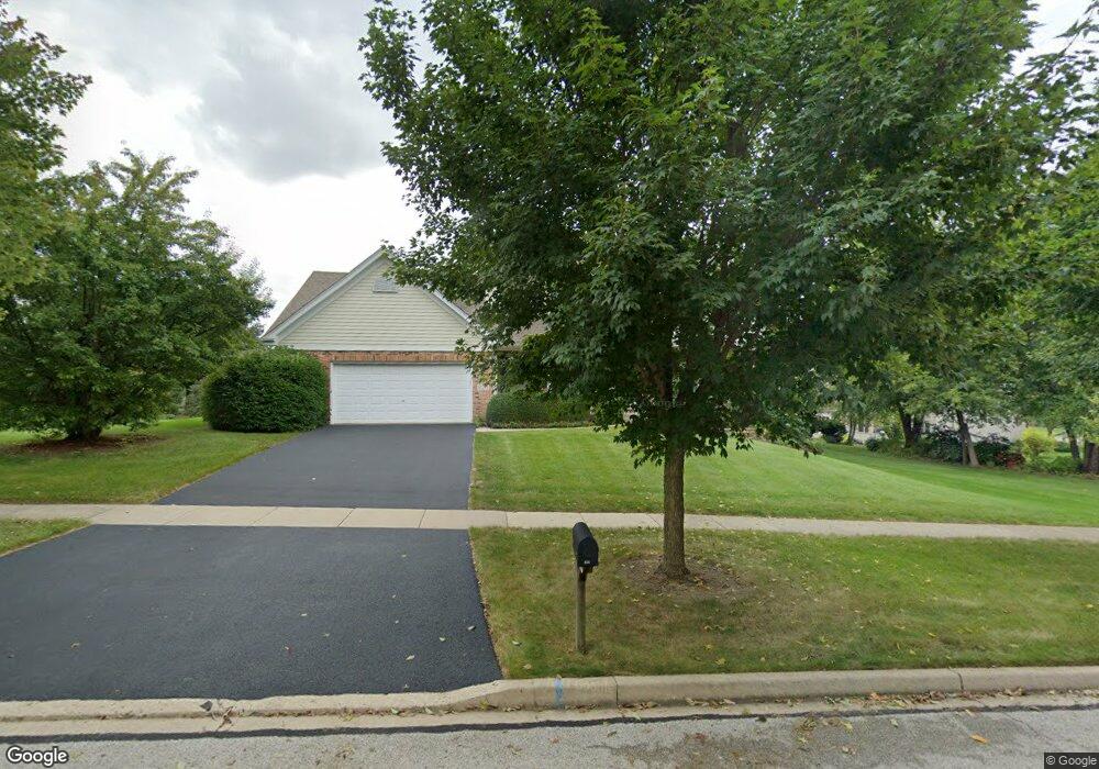
826 Burnham Ln Batavia, IL 60510
Southeast Batavia NeighborhoodEstimated Value: $563,616 - $654,000
4
Beds
--
Bath
2,607
Sq Ft
$231/Sq Ft
Est. Value
About This Home
This home is located at 826 Burnham Ln, Batavia, IL 60510 and is currently estimated at $603,404, approximately $231 per square foot. 826 Burnham Ln is a home located in Kane County with nearby schools including Hoover Wood Elementary School, Sam Rotolo Middle School, and Batavia Sr High School.
Ownership History
Date
Name
Owned For
Owner Type
Purchase Details
Closed on
Dec 28, 2020
Sold by
Heffier Clayton C and Heffier Susan C
Bought by
Clayton C Heffier Living Trust
Current Estimated Value
Purchase Details
Closed on
Sep 20, 1994
Sold by
First National Bank Of Evergreen Park
Bought by
Heffter Clayton C and Heffter Susan
Home Financials for this Owner
Home Financials are based on the most recent Mortgage that was taken out on this home.
Original Mortgage
$125,000
Interest Rate
8.64%
Mortgage Type
Purchase Money Mortgage
Create a Home Valuation Report for This Property
The Home Valuation Report is an in-depth analysis detailing your home's value as well as a comparison with similar homes in the area
Home Values in the Area
Average Home Value in this Area
Purchase History
| Date | Buyer | Sale Price | Title Company |
|---|---|---|---|
| Clayton C Heffier Living Trust | -- | -- | |
| Heffter Clayton C | $167,333 | Chicago Title Insurance Co |
Source: Public Records
Mortgage History
| Date | Status | Borrower | Loan Amount |
|---|---|---|---|
| Previous Owner | Heffter Clayton C | $125,000 |
Source: Public Records
Tax History Compared to Growth
Tax History
| Year | Tax Paid | Tax Assessment Tax Assessment Total Assessment is a certain percentage of the fair market value that is determined by local assessors to be the total taxable value of land and additions on the property. | Land | Improvement |
|---|---|---|---|---|
| 2024 | $11,957 | $159,233 | $26,799 | $132,434 |
| 2023 | $11,715 | $144,521 | $24,323 | $120,198 |
| 2022 | $11,270 | $135,067 | $22,732 | $112,335 |
| 2021 | $10,824 | $128,098 | $21,559 | $106,539 |
| 2020 | $10,558 | $125,636 | $21,145 | $104,491 |
| 2019 | $10,388 | $121,188 | $20,396 | $100,792 |
| 2018 | $10,247 | $119,571 | $19,619 | $99,952 |
| 2017 | $10,002 | $115,628 | $18,972 | $96,656 |
| 2016 | $9,791 | $112,260 | $18,419 | $93,841 |
| 2015 | -- | $109,704 | $18,000 | $91,704 |
| 2014 | -- | $106,250 | $17,433 | $88,817 |
| 2013 | -- | $116,086 | $24,418 | $91,668 |
Source: Public Records
Map
Nearby Homes
- 610 Norcross Dr
- 941 Stanton St
- 1667 S Raddant Rd
- 473 Bond Dr
- 918 S Raddant Rd
- 1136 Pine Ct
- Lot 4 Manchester Ave
- 445 Chillem Dr
- 1335 Chillem Dr
- 860 S River St
- 509 S Forest Ave
- 943 Orchard Ct
- 604 S Van Buren St
- 532 S Van Buren St
- 733 Wind Energy Pass
- 316 Locust St
- 1148 Miller Ct
- 3S201 S Raddant Rd
- 1580 Wind Energy Pass
- 129 S Prairie St
- 836 Burnham Ln
- 1220 Davey Dr
- 1210 Davey Dr
- 847 Boyd Ct
- 1215 Burnham Ln
- 1240 Davey Dr Unit 2
- 827 Boyd Ct
- 821 Burnham Ln
- 1225 Burnham Ln
- 831 Burnham Ln
- 811 Burnham Ln
- 1310 Davey Dr
- 841 Burnham Ln
- 801 Burnham Ln
- 1215 Davey Dr
- 1235 Davey Dr Unit 2
- 828 Boyd Ct
- 1205 Davey Dr
- 1330 Davey Dr Unit 2
- 1210 Burnham Ln