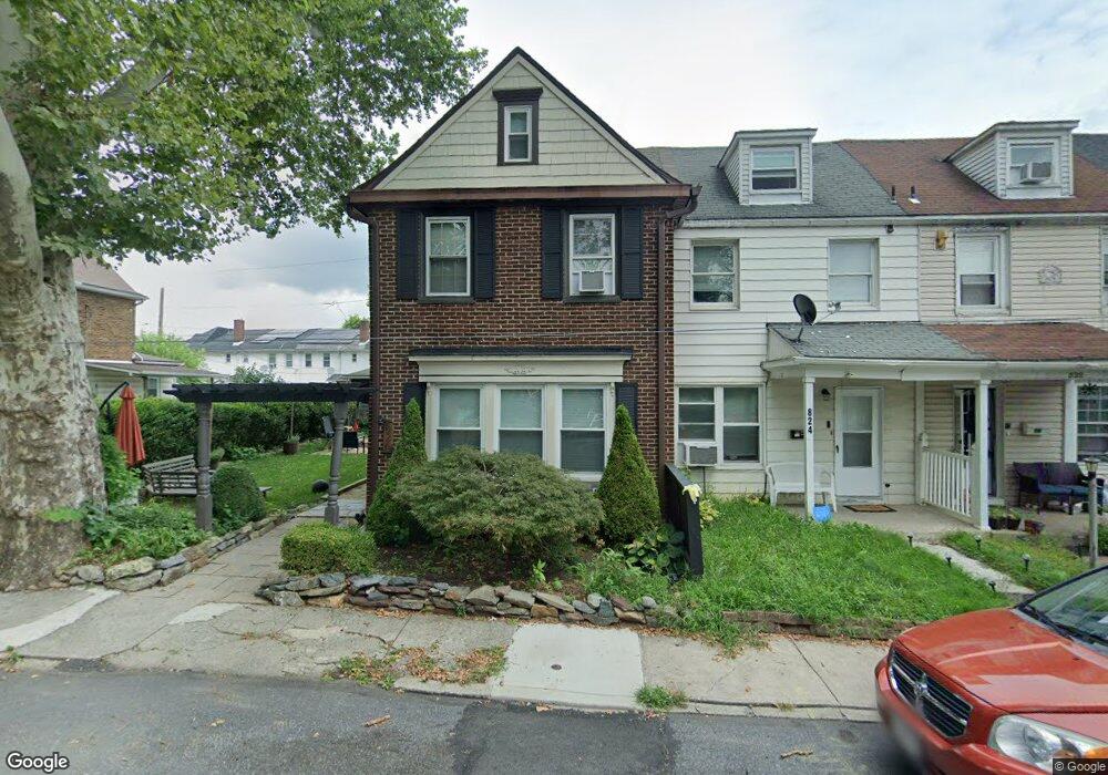
826 Hawthorne Rd Bethlehem, PA 18018
Downtown Bethlehem NeighborhoodEstimated Value: $190,000 - $265,794
3
Beds
1
Bath
1,507
Sq Ft
$158/Sq Ft
Est. Value
About This Home
This home is located at 826 Hawthorne Rd, Bethlehem, PA 18018 and is currently estimated at $237,449, approximately $157 per square foot. 826 Hawthorne Rd is a home located in Northampton County with nearby schools including Thomas Jefferson Elementary School, Northeast Middle School, and Liberty High School.
Ownership History
Date
Name
Owned For
Owner Type
Purchase Details
Closed on
Feb 26, 2009
Sold by
Suppes David E and Sweeney Randi B
Bought by
Murphy Scott and Murphy Susan
Current Estimated Value
Purchase Details
Closed on
Nov 1, 1997
Bought by
Suppes David E Revocable
Create a Home Valuation Report for This Property
The Home Valuation Report is an in-depth analysis detailing your home's value as well as a comparison with similar homes in the area
Home Values in the Area
Average Home Value in this Area
Purchase History
| Date | Buyer | Sale Price | Title Company |
|---|---|---|---|
| Murphy Scott | $88,000 | None Available | |
| Suppes David E Revocable | -- | -- |
Source: Public Records
Tax History Compared to Growth
Tax History
| Year | Tax Paid | Tax Assessment Tax Assessment Total Assessment is a certain percentage of the fair market value that is determined by local assessors to be the total taxable value of land and additions on the property. | Land | Improvement |
|---|---|---|---|---|
| 2025 | $431 | $39,900 | $11,600 | $28,300 |
| 2024 | $3,527 | $39,900 | $11,600 | $28,300 |
| 2023 | $3,527 | $39,900 | $11,600 | $28,300 |
| 2022 | $3,499 | $39,900 | $11,600 | $28,300 |
| 2021 | $3,476 | $39,900 | $11,600 | $28,300 |
| 2020 | $3,443 | $39,900 | $11,600 | $28,300 |
| 2019 | $3,431 | $39,900 | $11,600 | $28,300 |
| 2018 | $3,348 | $39,900 | $11,600 | $28,300 |
| 2017 | $3,308 | $39,900 | $11,600 | $28,300 |
| 2016 | -- | $39,900 | $11,600 | $28,300 |
| 2015 | -- | $39,900 | $11,600 | $28,300 |
| 2014 | -- | $39,900 | $11,600 | $28,300 |
Source: Public Records
Map
Nearby Homes
- 811 Elm St
- 439 E Union Blvd
- 1028 Elm St
- 432 E Frankford St
- 746 Linden St
- 313 E Broad St
- 249 E Ettwein St
- 520 Pulaski St
- 432 Milton St
- 232 E Raspberry St
- 1216 Minsi Trail St
- 736 High St
- 1324 Easton Ave
- 1415 Maple St
- 128 E Spruce St
- 510 Hickory St
- 1411 Linden St
- 131 E Walnut St
- 1422 Montrose Ave
- 132 E Market St