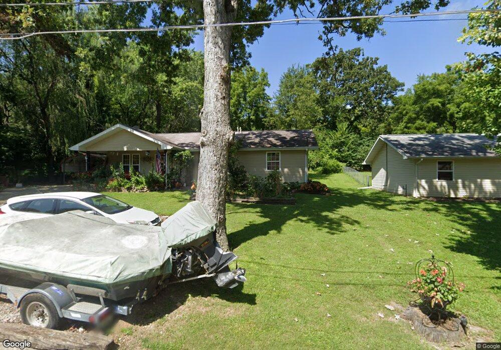
827 Locust St West Plains, MO 65775
Estimated Value: $105,269 - $142,000
Studio
--
Bath
--
Sq Ft
10,803
Sq Ft
About This Home
This home is located at 827 Locust St, West Plains, MO 65775 and is currently estimated at $130,317. 827 Locust St is a home with nearby schools including West Plains Senior High School, Ozarks Christian Academy, and Faith Assembly Christian School.
Ownership History
Date
Name
Owned For
Owner Type
Purchase Details
Closed on
Jul 17, 2020
Sold by
Lockett Susan Allen and Lockett Timothy L
Bought by
Lockett Susan and Lockett Timothy L
Current Estimated Value
Purchase Details
Closed on
Nov 14, 2006
Sold by
West Plains Area Habitat For Hummanity I
Bought by
Allen Susan
Home Financials for this Owner
Home Financials are based on the most recent Mortgage that was taken out on this home.
Original Mortgage
$66,800
Outstanding Balance
$39,456
Interest Rate
6.37%
Mortgage Type
Purchase Money Mortgage
Estimated Equity
$90,861
Create a Home Valuation Report for This Property
The Home Valuation Report is an in-depth analysis detailing your home's value as well as a comparison with similar homes in the area
Home Values in the Area
Average Home Value in this Area
Purchase History
| Date | Buyer | Sale Price | Title Company |
|---|---|---|---|
| Lockett Susan | -- | Wiles Abstract And Title Co | |
| Allen Susan | -- | None Available |
Source: Public Records
Mortgage History
| Date | Status | Borrower | Loan Amount |
|---|---|---|---|
| Open | Allen Susan | $66,800 |
Source: Public Records
Tax History
| Year | Tax Paid | Tax Assessment Tax Assessment Total Assessment is a certain percentage of the fair market value that is determined by local assessors to be the total taxable value of land and additions on the property. | Land | Improvement |
|---|---|---|---|---|
| 2025 | $557 | $13,460 | $1,500 | $11,960 |
| 2024 | $554 | $12,010 | -- | -- |
| 2023 | $554 | $12,010 | $0 | $0 |
| 2022 | $524 | $11,370 | $0 | $0 |
| 2021 | $503 | $11,370 | $0 | $0 |
| 2020 | $503 | $10,670 | $0 | $0 |
| 2019 | $522 | $10,670 | $0 | $0 |
| 2018 | $522 | $10,670 | $0 | $0 |
| 2017 | $520 | $10,670 | $0 | $0 |
| 2015 | -- | $10,390 | $0 | $0 |
| 2014 | -- | $10,390 | $0 | $0 |
| 2013 | -- | $10,390 | $0 | $0 |
Source: Public Records
Map
Nearby Homes
- 924 Walker St
- 710 Johnson St
- 714 Johnson St
- 000 Tanglewood Place
- 742 Olive St
- 639 Lanton Rd
- TBD Oak St
- 415 Farrell St
- 413 Cherry St
- 911 Grace Ave
- 119 S College St
- 209 S Aid Ave
- 212 Worcester St
- 203 S Aid Ave
- 000 S Thayer Ave
- 426 S Thayer Ave
- 607 E Dixon St
- 130 N Howell Ave
- 130 N Howell Ave
- 609 Woodland Ave
Your Personal Tour Guide
Ask me questions while you tour the home.