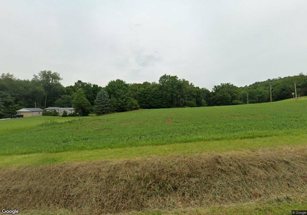
828 Township Road 2206 Perrysville, OH 44864
Estimated Value: $131,026 - $286,000
--
Bed
--
Bath
--
Sq Ft
5.39
Acres
About This Home
This home is located at 828 Township Road 2206, Perrysville, OH 44864 and is currently estimated at $208,513. 828 Township Road 2206 is a home located in Ashland County with nearby schools including Hillsdale Elementary School, Hillsdale Middle School, and Hillsdale High School.
Ownership History
Date
Name
Owned For
Owner Type
Purchase Details
Closed on
Oct 30, 2015
Sold by
Kash Orvil R
Bought by
Brown Morgan L
Current Estimated Value
Home Financials for this Owner
Home Financials are based on the most recent Mortgage that was taken out on this home.
Original Mortgage
$28,000
Interest Rate
3.88%
Mortgage Type
New Conventional
Purchase Details
Closed on
Jan 8, 2010
Sold by
Kash Orvil and Kash Donna
Bought by
Kash Orvil R
Purchase Details
Closed on
May 8, 1986
Bought by
Kash Orvil
Create a Home Valuation Report for This Property
The Home Valuation Report is an in-depth analysis detailing your home's value as well as a comparison with similar homes in the area
Home Values in the Area
Average Home Value in this Area
Purchase History
| Date | Buyer | Sale Price | Title Company |
|---|---|---|---|
| Brown Morgan L | $25,200 | Attorney Only | |
| Kash Orvil R | -- | -- | |
| Kash Orvil | $10,000 | -- |
Source: Public Records
Mortgage History
| Date | Status | Borrower | Loan Amount |
|---|---|---|---|
| Previous Owner | Brown Morgan L | $28,000 |
Source: Public Records
Tax History Compared to Growth
Tax History
| Year | Tax Paid | Tax Assessment Tax Assessment Total Assessment is a certain percentage of the fair market value that is determined by local assessors to be the total taxable value of land and additions on the property. | Land | Improvement |
|---|---|---|---|---|
| 2024 | $904 | $27,570 | $19,780 | $7,790 |
| 2023 | $904 | $27,570 | $19,780 | $7,790 |
| 2022 | $790 | $19,020 | $13,640 | $5,380 |
| 2021 | $791 | $19,020 | $13,640 | $5,380 |
| 2020 | $741 | $19,020 | $13,640 | $5,380 |
| 2019 | $706 | $17,810 | $11,670 | $6,140 |
| 2018 | $702 | $17,810 | $11,670 | $6,140 |
| 2017 | $614 | $17,810 | $11,670 | $6,140 |
| 2016 | $614 | $15,490 | $10,150 | $5,340 |
| 2015 | $270 | $15,490 | $10,150 | $5,340 |
| 2013 | $280 | $15,450 | $10,410 | $5,040 |
Source: Public Records
Map
Nearby Homes
- 0 Township Road 925
- 1048 Township Road 2156
- 820 County Road 30a
- 0 Ashland County Road 2175
- 0 Ashland County Road 2175
- 968 Township Road 2506
- 150 E Main St
- 609 Ohio 95
- 560 Township Road 2402
- 1106 County Road 30a
- 0 Twp Rd 1806 Unit 11591470
- 1845 County Road 655
- 1183 County Road 30a
- 19 Maine St
- 0 Applegate Rd
- 2428 Applegate Rd
- 0 Mount Zion Rd Unit 9069748
- 1690 County Road 995
- 836 Township Road 2206
- 827 Township Road 2206
- 2219 County Road 775
- 2196 County Road 775
- 2199 County Road 775
- 862 Township Road 2206
- 2230 County Road 775
- 854 Township Road 2206
- 848 Township Road 2206
- 849 Township Road 2206
- 2243 County Road 775
- 804 Township Road 2204
- 793 Township Road 2204
- 2171 County Road 775
- 2165 County Road 775
- 2267 County Road 775
- 2157 County Road 775
- 775 Township Road 2204
- 899 County Road 2256
- 899 Cr 2256