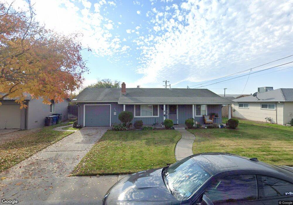
828 Trinity St Manteca, CA 95336
Downtown Manteca NeighborhoodEstimated Value: $371,000 - $416,000
2
Beds
1
Bath
923
Sq Ft
$421/Sq Ft
Est. Value
About This Home
This home is located at 828 Trinity St, Manteca, CA 95336 and is currently estimated at $388,469, approximately $420 per square foot. 828 Trinity St is a home located in San Joaquin County with nearby schools including Lincoln Elementary School, Manteca High School, and St. Anthony's Catholic School.
Ownership History
Date
Name
Owned For
Owner Type
Purchase Details
Closed on
Apr 9, 2015
Sold by
Flinn Sandra K
Bought by
The Flinn Family Trust and Flinn Sandra K
Current Estimated Value
Purchase Details
Closed on
Jan 3, 2013
Sold by
Flinn Sandra K and Briggs Trust
Bought by
Flinn Sandra K
Purchase Details
Closed on
Aug 25, 2011
Sold by
Briggs James W and Briggs Patricia R
Bought by
Briggs James W and Flinn Sandra K
Create a Home Valuation Report for This Property
The Home Valuation Report is an in-depth analysis detailing your home's value as well as a comparison with similar homes in the area
Home Values in the Area
Average Home Value in this Area
Purchase History
| Date | Buyer | Sale Price | Title Company |
|---|---|---|---|
| The Flinn Family Trust | -- | None Available | |
| Flinn Sandra K | -- | None Available | |
| Briggs James W | -- | None Available |
Source: Public Records
Tax History
| Year | Tax Paid | Tax Assessment Tax Assessment Total Assessment is a certain percentage of the fair market value that is determined by local assessors to be the total taxable value of land and additions on the property. | Land | Improvement |
|---|---|---|---|---|
| 2025 | $580 | $50,491 | $11,517 | $38,974 |
| 2024 | $563 | $49,502 | $11,292 | $38,210 |
| 2023 | $557 | $48,532 | $11,071 | $37,461 |
| 2022 | $548 | $47,581 | $10,854 | $36,727 |
| 2021 | $542 | $46,649 | $10,642 | $36,007 |
| 2020 | $521 | $46,171 | $10,533 | $35,638 |
| 2019 | $515 | $45,267 | $10,327 | $34,940 |
| 2018 | $508 | $44,380 | $10,125 | $34,255 |
| 2017 | $501 | $43,511 | $9,927 | $33,584 |
| 2016 | $489 | $42,659 | $9,733 | $32,926 |
| 2015 | $486 | $42,018 | $9,587 | $32,431 |
| 2014 | -- | $41,195 | $9,399 | $31,796 |
Source: Public Records
Map
Nearby Homes
- 317 Moffat Blvd Unit 21
- 317 Moffat Blvd Unit 14
- 317 Moffat Blvd Unit 6
- 317 Moffat Blvd Unit 5
- 317 Moffat Blvd Unit 7
- 317 Moffat Blvd Unit 20
- 196 Dyer Ave
- 123 Wawona St
- 119 N Sherman Ave
- 628 E North St
- 241 Martha St
- 1502 Churcher Dr
- 311 Charles Ave
- 1091 Alba St
- 360 Park Ave
- 355 Harding Ave
- 462 Chablis Way
- 1047 Lindo Ct
- 502 Chablis Way
- 475 Quintal Rd
- 832 Trinity St
- 824 Trinity St
- 417 S Powers Ave
- 411 S Powers Ave
- 820 Trinity St
- 423 S Powers Ave
- 343 S Powers Ave
- 821 Trinity St
- 816 Trinity St
- 339 S Powers Ave
- 340 Lassen St
- 429 S Powers Ave
- 414 S Powers Ave
- 812 Trinity St
- 904 Trinity St
- 420 S Powers Ave
- 335 S Powers Ave
- 336 Lassen St
- 426 S Powers Ave
- 433 S Powers Ave
Your Personal Tour Guide
Ask me questions while you tour the home.