82882 Bradford Rd Creswell, OR 97426
Estimated Value: $663,705 - $755,000
2
Beds
3
Baths
1,588
Sq Ft
$455/Sq Ft
Est. Value
About This Home
This home is located at 82882 Bradford Rd, Creswell, OR 97426 and is currently estimated at $722,676, approximately $455 per square foot. 82882 Bradford Rd is a home located in Lane County with nearby schools including Creslane Elementary School, Creswell Middle School, and Creswell High School.
Ownership History
Date
Name
Owned For
Owner Type
Purchase Details
Closed on
Apr 25, 2024
Sold by
Henzie John E and Henzie Mary E
Bought by
John E Henzie And Mary E Henzie Trust and Henzie
Current Estimated Value
Purchase Details
Closed on
Feb 24, 2000
Sold by
Te Oelke Harold F and Harold F Oelke Living Trust
Bought by
Henzie John E and Henzie Mary E
Home Financials for this Owner
Home Financials are based on the most recent Mortgage that was taken out on this home.
Original Mortgage
$137,900
Interest Rate
8.16%
Create a Home Valuation Report for This Property
The Home Valuation Report is an in-depth analysis detailing your home's value as well as a comparison with similar homes in the area
Home Values in the Area
Average Home Value in this Area
Purchase History
| Date | Buyer | Sale Price | Title Company |
|---|---|---|---|
| John E Henzie And Mary E Henzie Trust | -- | None Listed On Document | |
| Henzie John E | $237,900 | Western Title & Escrow Compa |
Source: Public Records
Mortgage History
| Date | Status | Borrower | Loan Amount |
|---|---|---|---|
| Previous Owner | Henzie John E | $137,900 |
Source: Public Records
Tax History Compared to Growth
Tax History
| Year | Tax Paid | Tax Assessment Tax Assessment Total Assessment is a certain percentage of the fair market value that is determined by local assessors to be the total taxable value of land and additions on the property. | Land | Improvement |
|---|---|---|---|---|
| 2025 | $5,722 | $410,708 | -- | -- |
| 2024 | $4,044 | $398,746 | -- | -- |
| 2023 | $4,044 | $387,133 | $0 | $0 |
| 2022 | $4,493 | $375,858 | $0 | $0 |
| 2021 | $4,338 | $364,911 | $0 | $0 |
| 2020 | $4,293 | $354,283 | $0 | $0 |
| 2019 | $4,206 | $343,965 | $0 | $0 |
| 2018 | $4,163 | $324,220 | $0 | $0 |
| 2017 | $3,972 | $324,220 | $0 | $0 |
| 2016 | $4,115 | $314,777 | $0 | $0 |
| 2015 | $3,960 | $305,609 | $0 | $0 |
| 2014 | $3,944 | $296,708 | $0 | $0 |
Source: Public Records
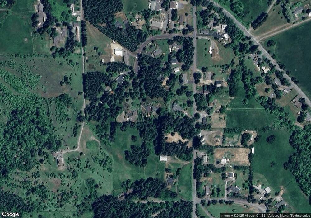
Map
Nearby Homes
- 0 River Dr
- 1765 Trevino Rd
- 370 Magnolia Dr
- 83 Sunday Dr
- 0 Rodgers Rd
- 316 Sunday Dr
- 336 Sunday Dr
- 375 Sunday Dr
- 685 St Andrews Loop
- 491 Ironwood Loop
- 700 N Mill St Unit 109
- 689 Blue Jay Loop
- 692 N 1st St
- 156 N 1st St
- 82277 Davisson Rd
- 0 Holbrook Ln Unit 339588620
- 368 Hillegas Ave
- 589 Mary Neal Ln
- 1 Queens Ave Unit 1
- 521 S 7th St
- 82878 Bradford Rd
- 82886 Bradford Rd
- 82810 Bradford Rd
- 82846 Bradford Rd
- 82890 Bradford Rd
- 82874 Bradford Rd
- 82841 Bradford Rd
- 82894 Bradford Rd
- 82815 Bradford Rd
- 82870 Bradford Rd
- 82865 Bradford Rd
- 82797 Bradford Rd
- 82771 Bradford Rd
- 82877 Bradford Rd
- 82906 Bradford Rd
- 82902 Bradford Rd
- 82766 Bradford Rd
- 82898 Bradford Rd
- 82910 Bradford Rd
- 82887 Bradford Rd