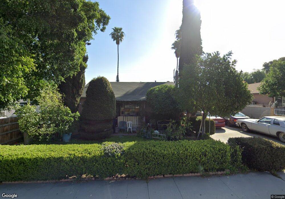
829 S Lincoln Ave Corona, CA 92882
Central Corona NeighborhoodEstimated Value: $546,406 - $597,000
3
Beds
1
Bath
970
Sq Ft
$592/Sq Ft
Est. Value
About This Home
This home is located at 829 S Lincoln Ave, Corona, CA 92882 and is currently estimated at $574,602, approximately $592 per square foot. 829 S Lincoln Ave is a home located in Riverside County with nearby schools including Jefferson Elementary School, Letha Raney Intermediate School, and Corona High School.
Ownership History
Date
Name
Owned For
Owner Type
Purchase Details
Closed on
Nov 20, 2003
Sold by
Sanchez Jesus G and Sanchez Consuelo J
Bought by
Sanchez Jesus G and Sanchez Consuelo J
Current Estimated Value
Home Financials for this Owner
Home Financials are based on the most recent Mortgage that was taken out on this home.
Original Mortgage
$87,500
Interest Rate
5.97%
Mortgage Type
Purchase Money Mortgage
Create a Home Valuation Report for This Property
The Home Valuation Report is an in-depth analysis detailing your home's value as well as a comparison with similar homes in the area
Home Values in the Area
Average Home Value in this Area
Purchase History
| Date | Buyer | Sale Price | Title Company |
|---|---|---|---|
| Sanchez Jesus G | -- | Itc Sb |
Source: Public Records
Mortgage History
| Date | Status | Borrower | Loan Amount |
|---|---|---|---|
| Closed | Sanchez Jesus G | $87,500 |
Source: Public Records
Tax History Compared to Growth
Tax History
| Year | Tax Paid | Tax Assessment Tax Assessment Total Assessment is a certain percentage of the fair market value that is determined by local assessors to be the total taxable value of land and additions on the property. | Land | Improvement |
|---|---|---|---|---|
| 2025 | $1,534 | $142,333 | $59,718 | $82,615 |
| 2023 | $1,534 | $136,808 | $57,400 | $79,408 |
| 2022 | $1,484 | $134,126 | $56,275 | $77,851 |
| 2021 | $1,453 | $131,497 | $55,172 | $76,325 |
| 2020 | $1,437 | $130,150 | $54,607 | $75,543 |
| 2019 | $1,403 | $127,599 | $53,537 | $74,062 |
| 2018 | $1,371 | $125,098 | $52,489 | $72,609 |
| 2017 | $1,337 | $122,646 | $51,460 | $71,186 |
| 2016 | $1,323 | $120,242 | $50,451 | $69,791 |
| 2015 | $1,294 | $118,439 | $49,695 | $68,744 |
| 2014 | $1,248 | $116,121 | $48,722 | $67,399 |
Source: Public Records
Map
Nearby Homes
- 995 Bluecrest St
- 1221 W 10th St
- 927 Alta Loma Dr
- 1203 W 6th St
- 1203 W 6th St Unit 67
- 831 W 7th St
- 1053 Border Ave
- 901 Norwich Way
- 1214 E St
- 951 W Kendall St
- 711 S Vicentia Ave
- 991 Norwich Way
- 1107 Border Ave
- 1187 Zircon St
- 1438 Shadowglen Way
- 1440 Ridgemont Way
- 1396 Thornwood Square
- 255 S Sherman Ave
- 920 Burr St
- 918 Whitecliff Way
- 825 S Lincoln Ave
- 905 S Lincoln Ave
- 819 S Lincoln Ave
- 909 S Lincoln Ave
- 830 Wyval Ave
- 826 Wyval Ave
- 906 Wyval Ave
- 815 S Lincoln Ave
- 820 Wyval Ave
- 910 Wyval Ave
- 1110 W 9th St
- 814 Wyval Ave
- 914 Wyval Ave
- 919 S Lincoln Ave
- 1111 W 9th St
- 1101 W 10th St
- 920 Wyval Ave
- 1080 W 8th St
- 1072 W 8th St
- 1068 W 8th St