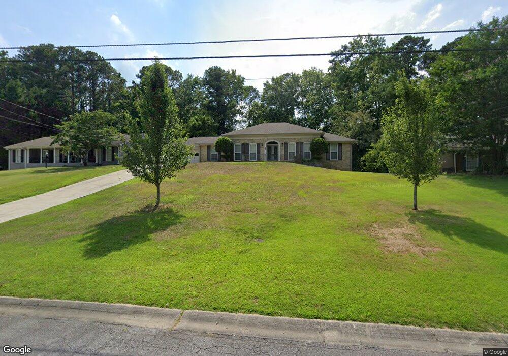
83 Brookcrest Dr Marietta, GA 30068
Estimated Value: $476,424 - $600,000
3
Beds
2
Baths
1,955
Sq Ft
$270/Sq Ft
Est. Value
About This Home
This home is located at 83 Brookcrest Dr, Marietta, GA 30068 and is currently estimated at $528,356, approximately $270 per square foot. 83 Brookcrest Dr is a home located in Cobb County with nearby schools including Eastvalley Elementary School, East Cobb Middle School, and Wheeler High School.
Ownership History
Date
Name
Owned For
Owner Type
Purchase Details
Closed on
Jan 25, 2002
Sold by
Addison William P and Addison Cheryl B
Bought by
Taylor Pamela H and Marc D
Current Estimated Value
Home Financials for this Owner
Home Financials are based on the most recent Mortgage that was taken out on this home.
Original Mortgage
$164,400
Outstanding Balance
$68,362
Interest Rate
7.14%
Mortgage Type
New Conventional
Estimated Equity
$459,994
Purchase Details
Closed on
Oct 19, 1999
Sold by
Addison Jr William P
Bought by
Addison William P and Addison Cheryl B
Create a Home Valuation Report for This Property
The Home Valuation Report is an in-depth analysis detailing your home's value as well as a comparison with similar homes in the area
Home Values in the Area
Average Home Value in this Area
Purchase History
| Date | Buyer | Sale Price | Title Company |
|---|---|---|---|
| Taylor Pamela H | $205,500 | -- | |
| Addison William P | -- | -- |
Source: Public Records
Mortgage History
| Date | Status | Borrower | Loan Amount |
|---|---|---|---|
| Open | Taylor Pamela H | $164,400 |
Source: Public Records
Tax History Compared to Growth
Tax History
| Year | Tax Paid | Tax Assessment Tax Assessment Total Assessment is a certain percentage of the fair market value that is determined by local assessors to be the total taxable value of land and additions on the property. | Land | Improvement |
|---|---|---|---|---|
| 2024 | $3,925 | $154,792 | $28,800 | $125,992 |
| 2023 | $3,382 | $154,792 | $28,800 | $125,992 |
| 2022 | $3,954 | $154,792 | $28,800 | $125,992 |
| 2021 | $3,107 | $116,112 | $28,800 | $87,312 |
| 2020 | $3,107 | $116,112 | $28,800 | $87,312 |
| 2019 | $3,107 | $116,112 | $28,800 | $87,312 |
| 2018 | $2,819 | $102,952 | $28,800 | $74,152 |
| 2017 | $2,678 | $102,952 | $28,800 | $74,152 |
| 2016 | $2,267 | $87,756 | $28,500 | $59,256 |
| 2015 | $2,325 | $87,756 | $28,500 | $59,256 |
| 2014 | $2,345 | $87,756 | $0 | $0 |
Source: Public Records
Map
Nearby Homes
- 11 Cecil Dr
- 2869 Old Sewell Rd
- 197 Carriage Trace
- 2770 Beverly Hills Dr NE
- 280 E Valley Dr
- 2431 Weatherford Ct
- 180 Blue Sky Dr
- 2811 Georgian Terrace Unit 5
- 247 Millbrook Farm Rd
- 53 Weatherstone Pkwy
- 61 Holt Rd NE
- 51 Holt Rd NE
- 399 Old Canton Rd
- 402 Somerset Close SE
- 190 Kenley Ct
- 15 Vickwood Ct
- 20 Ashton Woods Dr
- 3270 Brookview Dr
- 403 Greenfield Ct Unit 13
- 71 Brookcrest Dr
- 95 Brookcrest Dr
- 59 Brookcrest Dr
- 58 Cecil Dr
- 70 Cecil Dr
- 109 Brookcrest Dr
- 84 Brookcrest Dr
- 96 Brookcrest Dr
- 72 Brookcrest Dr
- 53 Brookcrest Dr
- 2742 Old Sewell Rd
- 46 Cecil Dr
- 110 Brookcrest Dr
- 60 Brookcrest Dr
- 34 Cecil Dr
- 51 Brookcrest Dr Unit 1
- 0 Brookcrest Court North E Unit 7286050
- 0 Brookcrest Court North E Unit 7336146
- 0 Brookcrest Court North E
- 2775 Old Sewell Rd