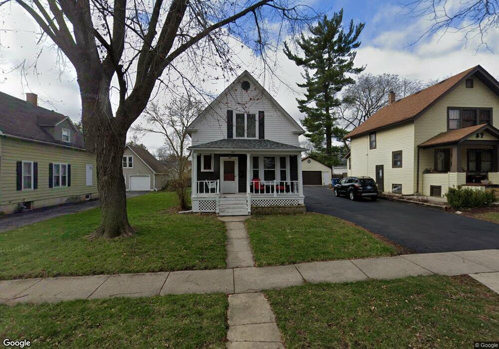
83 Browning Ave West Dundee, IL 60118
Estimated Value: $301,128 - $334,000
5
Beds
--
Bath
1,188
Sq Ft
$267/Sq Ft
Est. Value
About This Home
This home is located at 83 Browning Ave, West Dundee, IL 60118 and is currently estimated at $316,782, approximately $266 per square foot. 83 Browning Ave is a home located in Kane County with nearby schools including Dundee Highlands Elementary School, Dundee Middle School, and Dundee-Crown High School.
Ownership History
Date
Name
Owned For
Owner Type
Purchase Details
Closed on
Jan 28, 2000
Sold by
Lawrence Daniel E and Lawrence Michelle M
Bought by
Lawrence Daniel E and Lawrence Michelle M
Current Estimated Value
Purchase Details
Closed on
Nov 6, 1997
Sold by
Mellom James H and Mellom Carrie L
Bought by
Lawrence Daniel E and Schiller Michelle M
Home Financials for this Owner
Home Financials are based on the most recent Mortgage that was taken out on this home.
Original Mortgage
$121,600
Interest Rate
7.43%
Create a Home Valuation Report for This Property
The Home Valuation Report is an in-depth analysis detailing your home's value as well as a comparison with similar homes in the area
Home Values in the Area
Average Home Value in this Area
Purchase History
| Date | Buyer | Sale Price | Title Company |
|---|---|---|---|
| Lawrence Daniel E | -- | -- | |
| Lawrence Daniel E | $85,333 | -- |
Source: Public Records
Mortgage History
| Date | Status | Borrower | Loan Amount |
|---|---|---|---|
| Previous Owner | Lawrence Daniel E | $121,600 |
Source: Public Records
Tax History
| Year | Tax Paid | Tax Assessment Tax Assessment Total Assessment is a certain percentage of the fair market value that is determined by local assessors to be the total taxable value of land and additions on the property. | Land | Improvement |
|---|---|---|---|---|
| 2024 | $7,092 | $95,002 | $18,868 | $76,134 |
| 2023 | $6,630 | $85,480 | $16,977 | $68,503 |
| 2022 | $5,874 | $72,670 | $16,977 | $55,693 |
| 2021 | $5,658 | $68,615 | $16,030 | $52,585 |
| 2020 | $5,549 | $67,073 | $15,670 | $51,403 |
| 2019 | $5,361 | $63,673 | $14,876 | $48,797 |
| 2018 | $5,481 | $63,466 | $14,581 | $48,885 |
| 2017 | $5,207 | $59,370 | $13,640 | $45,730 |
| 2016 | $5,300 | $57,485 | $13,207 | $44,278 |
| 2015 | -- | $47,862 | $17,765 | $30,097 |
| 2014 | -- | $46,540 | $17,274 | $29,266 |
| 2013 | -- | $47,965 | $17,803 | $30,162 |
Source: Public Records
Map
Nearby Homes
- Lot 1 View St
- 601 S 2nd St
- 306 Johnson St
- 305 Oregon Ave
- 408 Jackson St
- 206 Water St
- 529 Springwood Ave
- 849 Hemlock Dr
- 1042 Chateau Bluff Ln
- 605 Barrington Ave Unit 140
- 605 Barrington Ave Unit 208
- 123 Dundee Ave
- 915 Willow Ln
- 36 River Ridge Dr
- 1 S Lincoln Ave
- 29 N Green St
- 19 N Lincoln Ave
- 714 Elmwood Dr
- Lot 8 Elmwood Dr
- 43 N Green St
- 79 Browning Ave
- 87 Browning Ave
- 91 Browning Ave
- 75 Browning Ave
- 86 Hawley Ave
- 82 Hawley Ave
- 88 Hawley Ave
- 95 Browning Ave
- 71 Browning Ave
- 92 Hawley Ave
- 84 Browning Ave
- 88 Browning Ave
- 80 Browning Ave
- 74 Hawley Ave
- 96 Hawley Ave
- 92 Browning Ave
- 76 Browning Ave
- 96 Browning Ave
- 72 Browning Ave
- 505 S 1st St
Your Personal Tour Guide
Ask me questions while you tour the home.