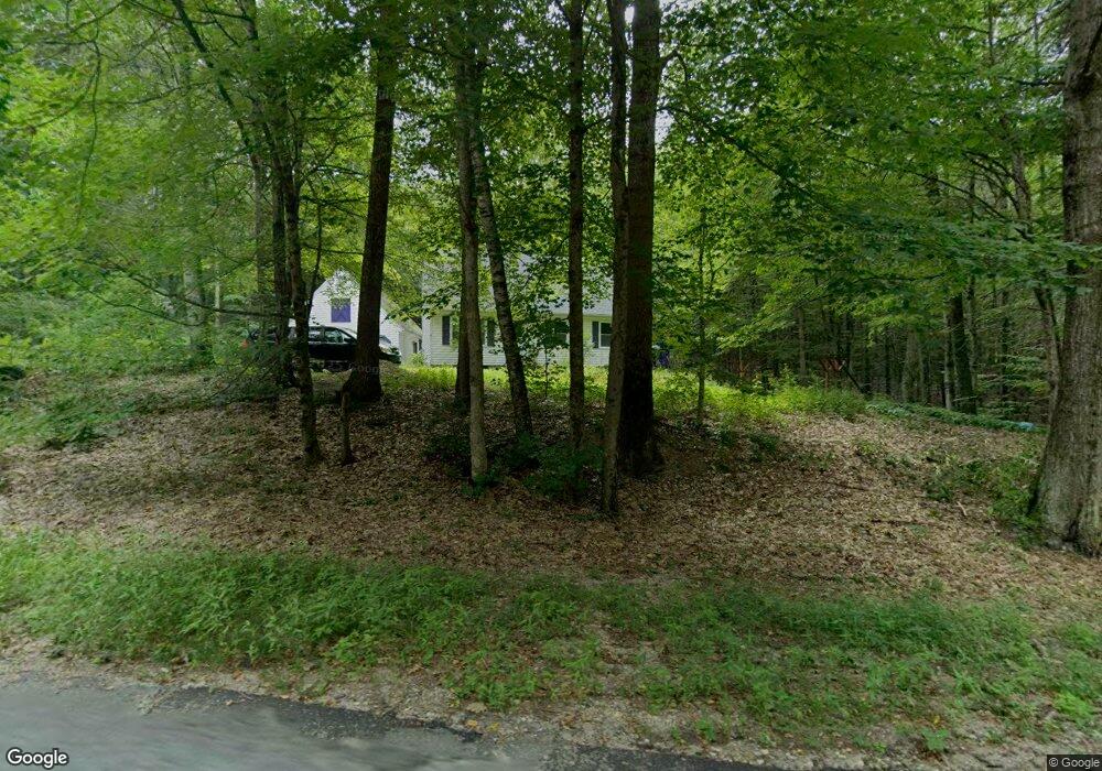
83 N Main St New Salem, MA 01355
New Salem NeighborhoodEstimated Value: $391,000 - $482,000
4
Beds
2
Baths
1,721
Sq Ft
$258/Sq Ft
Est. Value
About This Home
This home is located at 83 N Main St, New Salem, MA 01355 and is currently estimated at $444,746, approximately $258 per square foot. 83 N Main St is a home located in Franklin County with nearby schools including Swift River School and Ralph C Mahar Regional School.
Create a Home Valuation Report for This Property
The Home Valuation Report is an in-depth analysis detailing your home's value as well as a comparison with similar homes in the area
Home Values in the Area
Average Home Value in this Area
Tax History Compared to Growth
Tax History
| Year | Tax Paid | Tax Assessment Tax Assessment Total Assessment is a certain percentage of the fair market value that is determined by local assessors to be the total taxable value of land and additions on the property. | Land | Improvement |
|---|---|---|---|---|
| 2025 | $4,507 | $331,900 | $54,400 | $277,500 |
| 2024 | $3,995 | $278,000 | $54,400 | $223,600 |
| 2023 | $4,306 | $280,500 | $56,000 | $224,500 |
| 2022 | $4,389 | $232,000 | $56,000 | $176,000 |
| 2021 | $4,199 | $213,900 | $51,500 | $162,400 |
| 2020 | $3,859 | $213,900 | $51,500 | $162,400 |
| 2019 | $3,758 | $213,900 | $51,500 | $162,400 |
| 2018 | $3,740 | $206,300 | $50,000 | $156,300 |
| 2017 | $3,548 | $197,900 | $47,700 | $150,200 |
| 2016 | $3,410 | $197,900 | $47,700 | $150,200 |
| 2015 | $3,280 | $199,000 | $51,800 | $147,200 |
Source: Public Records
Map
Nearby Homes
- 72 N Main St
- Lot 55 Wendell Rd
- 2 Fay Rd
- 63 Cooleyville Rd
- 0 S Main St
- 270 Holtshire Rd
- 610 S Main St
- 28 Morse Village Rd
- 120 Horton Rd
- 248 Holtshire Rd Unit Lot 2
- Back Lot 0 Petersham Rd
- 0 Cooleyville Rd
- 00 S Main St
- 000 S Main St
- 490 S Main St
- 4 West St
- 0 Wendell Depot Rd
- 257 S Main St
- 0 Shore Dr
- Lot 31 Wendell Rd