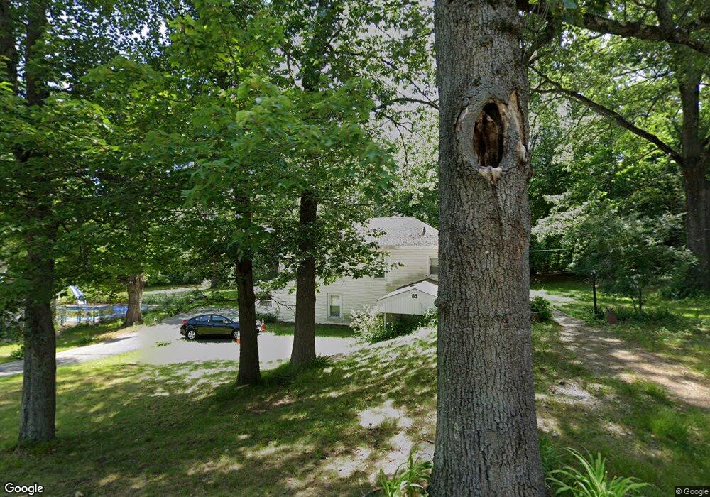
83 Shore Dr Auburn, MA 01501
Stoneville NeighborhoodEstimated Value: $341,000 - $383,000
2
Beds
2
Baths
912
Sq Ft
$403/Sq Ft
Est. Value
About This Home
This home is located at 83 Shore Dr, Auburn, MA 01501 and is currently estimated at $367,599, approximately $403 per square foot. 83 Shore Dr is a home located in Worcester County with nearby schools including Auburn Senior High School, Canterbury Street School, and Shrewsbury Montessori School - Auburn Campus.
Ownership History
Date
Name
Owned For
Owner Type
Purchase Details
Closed on
Jun 11, 2002
Sold by
Ward James F and Ward Janice R
Bought by
Ward Sharon R
Current Estimated Value
Home Financials for this Owner
Home Financials are based on the most recent Mortgage that was taken out on this home.
Original Mortgage
$50,000
Outstanding Balance
$21,276
Interest Rate
6.9%
Mortgage Type
Purchase Money Mortgage
Estimated Equity
$346,323
Purchase Details
Closed on
Sep 16, 1987
Sold by
Moore Paul D
Bought by
Ward J F
Create a Home Valuation Report for This Property
The Home Valuation Report is an in-depth analysis detailing your home's value as well as a comparison with similar homes in the area
Home Values in the Area
Average Home Value in this Area
Purchase History
| Date | Buyer | Sale Price | Title Company |
|---|---|---|---|
| Ward Sharon R | $70,000 | -- | |
| Ward J F | $100,000 | -- |
Source: Public Records
Mortgage History
| Date | Status | Borrower | Loan Amount |
|---|---|---|---|
| Open | Ward J F | $50,000 |
Source: Public Records
Tax History Compared to Growth
Tax History
| Year | Tax Paid | Tax Assessment Tax Assessment Total Assessment is a certain percentage of the fair market value that is determined by local assessors to be the total taxable value of land and additions on the property. | Land | Improvement |
|---|---|---|---|---|
| 2025 | $47 | $326,000 | $112,000 | $214,000 |
| 2024 | $4,679 | $313,400 | $107,800 | $205,600 |
| 2023 | $4,642 | $292,300 | $98,100 | $194,200 |
| 2022 | $4,266 | $253,600 | $98,100 | $155,500 |
| 2021 | $3,916 | $215,900 | $86,600 | $129,300 |
| 2020 | $3,859 | $214,600 | $86,600 | $128,000 |
| 2019 | $3,763 | $204,300 | $81,300 | $123,000 |
| 2018 | $3,553 | $192,700 | $76,100 | $116,600 |
| 2017 | $3,404 | $185,600 | $69,000 | $116,600 |
| 2016 | $3,128 | $172,900 | $71,100 | $101,800 |
| 2015 | $2,889 | $167,400 | $71,100 | $96,300 |
| 2014 | $2,920 | $168,900 | $67,700 | $101,200 |
Source: Public Records
Map
Nearby Homes
- 15 Adella St
- 8 Shirley St
- 32 Field St
- 61 Elmwood St
- 24 Meena Dr
- 148 Hampton St
- 216-220 Hampton St
- 204-212 Hampton St
- 5 Commonwealth Ave
- 45 Jerome Ave
- 1 Amesbury St
- 104 Elmwood St
- 177 Boyce St
- 25 Vinal St Unit 30
- 16 Dixon Ave
- 115 Pakachoag St
- 7 Carroll St
- 36 Laurier St
- 125 Malvern Rd
- 35 Pinehurst Ave